PORTLAND, Ore. — Western Oregon and Washington endured a very blustery Tuesday night, courtesy of a bomb cyclone off the coast pulling in air and creating strong eastern winds along the Interstate 5 corridor. With the worst of the storm over on Wednesday morning, KGW meteorologist Rod Hill had the breakdown of just how windy things got.
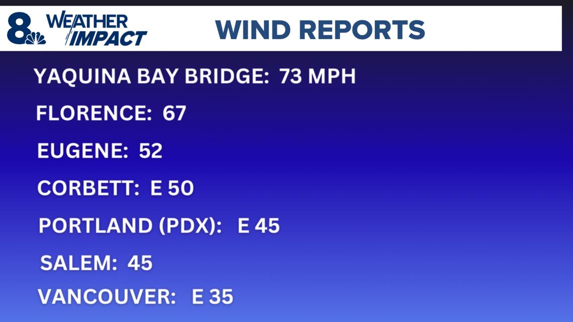
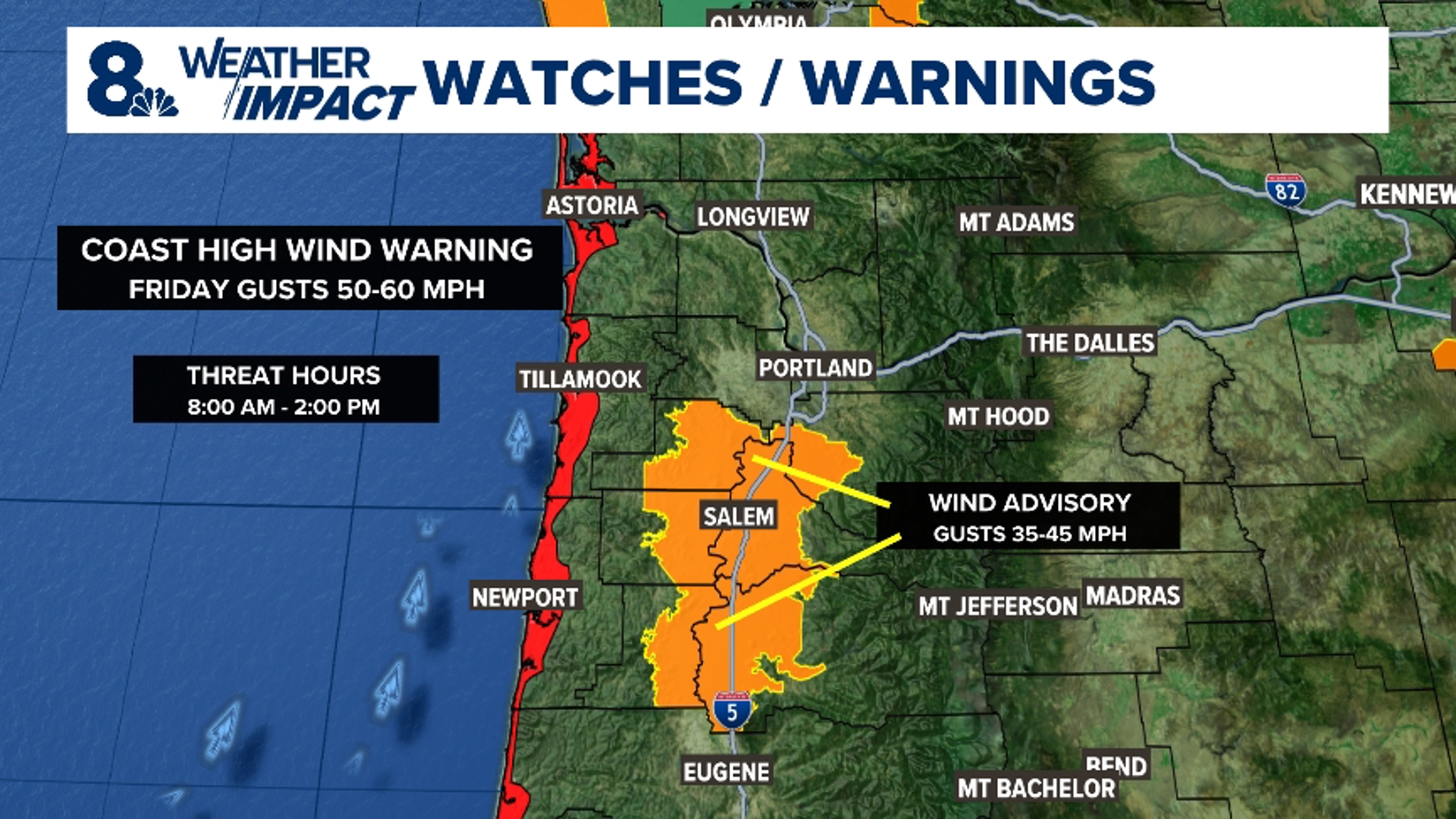
The National Weather Service issued a Wind Advisory for Portland Tuesday night, forecasting gusts of up to 45 mph. That prediction was right on the money: the strongest gust recorded at Portland International Airport was 45 mph. That's also where gusts topped out in Salem, while in Vancouver the peak was 35 mph.
Other parts of the state saw higher peaks, especially near the coast. Corbett's top recorded gust was 50 mph, Eugene's was 52 mph, and Florence saw a peak gust of 67 mph. The strongest wind gust in the state Tuesday night was 73 mph, recorded at the Yaquina Bay Bridge in Newport.


Portland itself made it through the night with relatively little damage, Hill noted, and the strongest winds ended before midnight. Only a handful of power outages were reported; Portland General Electric's outage map showed about 800 customers without power across the Portland and Salem metro areas as of late Wednesday morning.
The storm did cause some damage on one route to the coast, with State Highway 6 reduced to one lane Wednesday morning due to a large crack that formed in the middle of the roadway. But even out on the coast, where the winds were higher, there wasn't a large amount of reported damage.
"Locals realize a 60-70 mph gusts event at the coast is pretty typical and seldom impactful," Hill said.
Western Washington fared comparatively worse, with more than 500,000 people without power across the Puget Sound region as of Wednesday morning. A woman in Lynnwood was killed by a falling tree, and a family of five in Kelso was displaced when a tree fell through their house.
A storm is considered a bomb cyclone if the pressure in its core drops by more than 24 millibars in 24 hours. This week's storm dropped well over twice that amount on Tuesday, and ended up becoming the second-strongest storm in Oregon history in terms of how low the pressure got, according to KGW chief meteorologist Matt Zaffino.
Fortunately, the core of the storm remained far enough offshore that Oregon only got a glancing blow from the outer edge of it, Zaffino and Hill explained. It's continuing to move north on Wednesday, Hill said, taking Oregon out of the line of fire altogether.
"This could've been the Columbus Day Storm if it was on a different track," Hill said. "It was that strong of a low."


