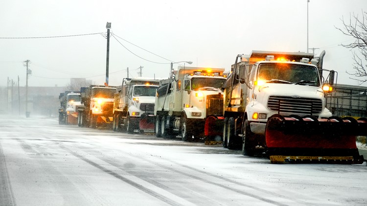
PORTLAND, Ore. — With a winter storm bringing snow around the Portland area, snow plows are out on the roads to help keep them as clear as possible.
If you're wondering where those trucks are now, the Portland Bureau of Transportation has a map that shows in real time where each one is. The PBOT Get Home Safe Winter Weather Center also includes an updated road closure list, as well as an elevation map and a look at area weather cameras.
Check where the snow plows are right now: The orange trucks in the map below represent plows, the blue ones are anti-icing trucks, the purple are salt trucks and the red pick up trucks are support vehicles.
Most counties and agencies, including PBOT and the Oregon Department of Transportation (ODOT) prioritize roads that see the most traffic and are used by emergency responders and public transit.
On its snow and ice plan web page, Multnomah County said it prioritizes plowing "high-drift areas that tend to build up more snow due to wind and terrain." It provides service first to its Priority 1 roads, including "arterial system roads, the most highly traveled, where schools, fire stations, hospitals and other emergency services are located." Priority 2 roads are plowed when resources are available and once Priority 1 roads are deemed safe to travel.
If you're looking for public transportation to get around safely, TriMet says riders should plan extra time. When buses are chained, they're limited to 25 mph and there can be some delays. TriMet posts its alerts on its website here.
Learn more about snow plow routes and winter response plans for counties and state and local agencies at the links below:


