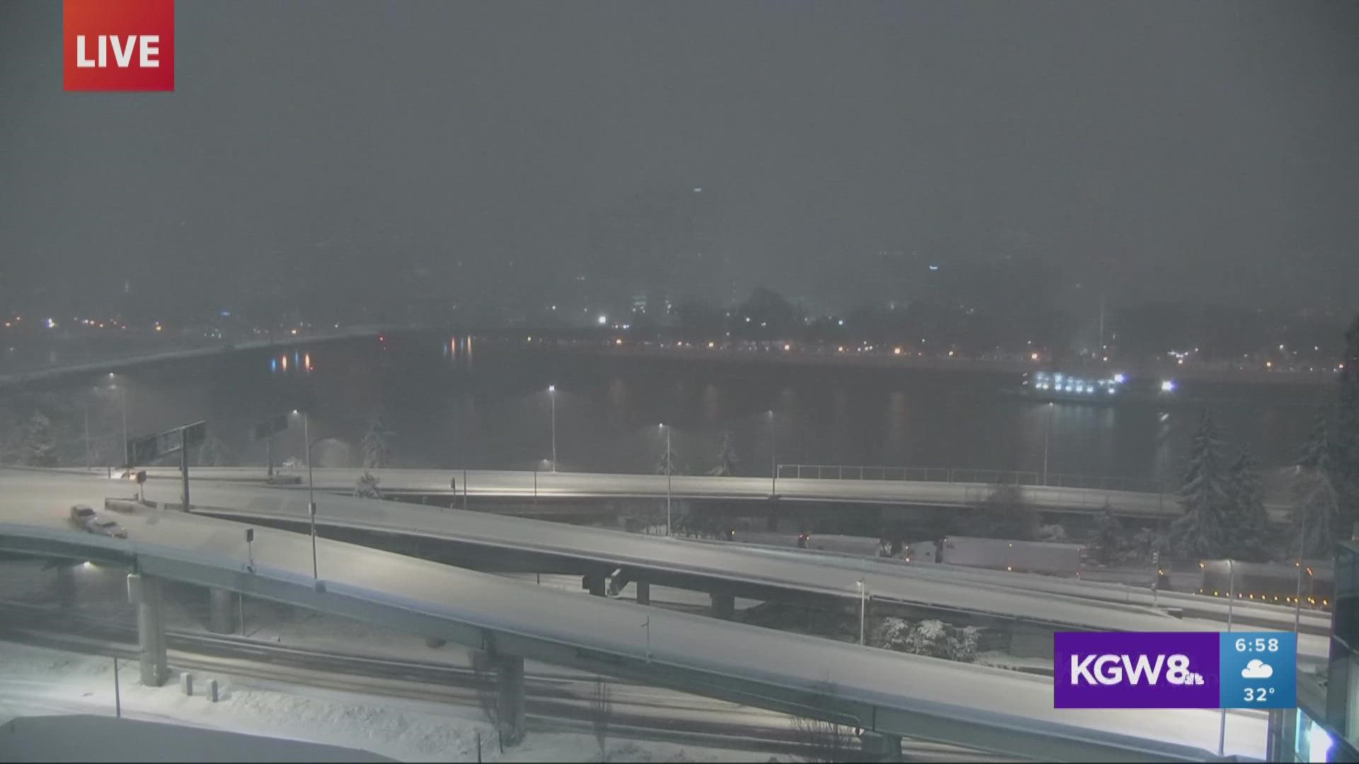
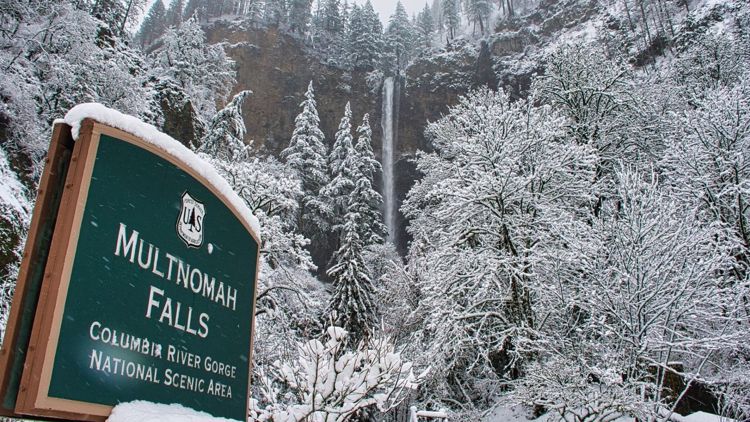
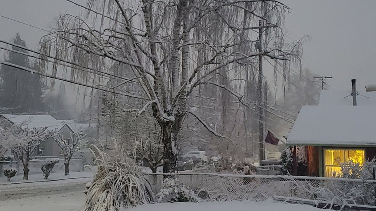
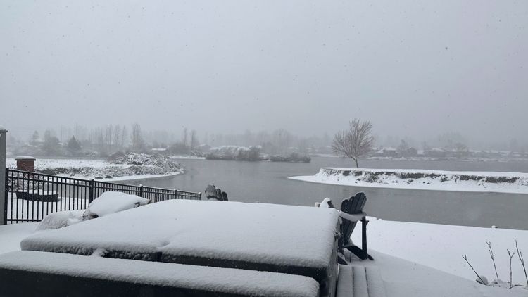
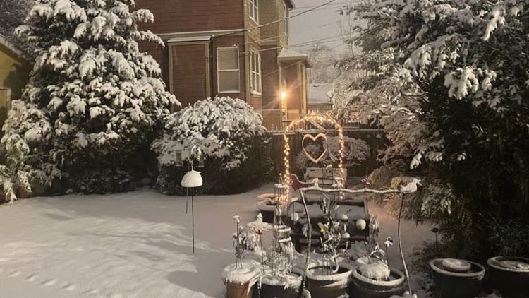
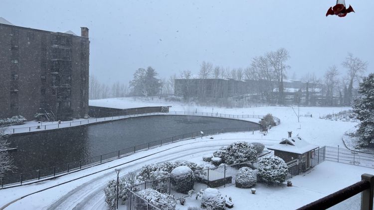
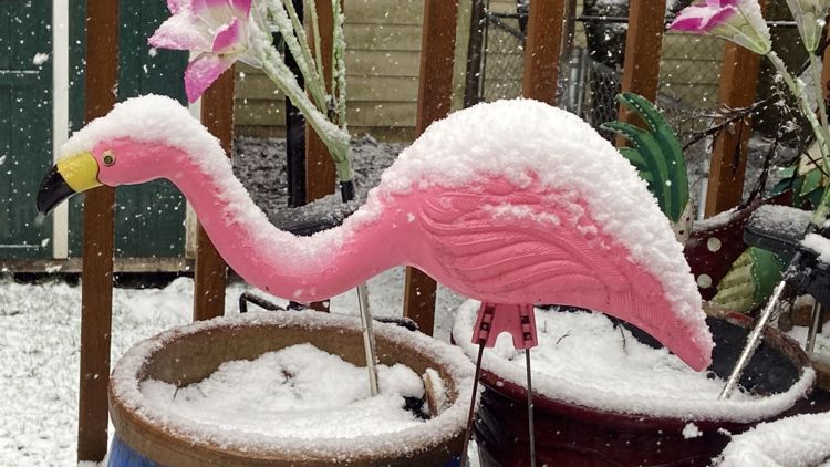
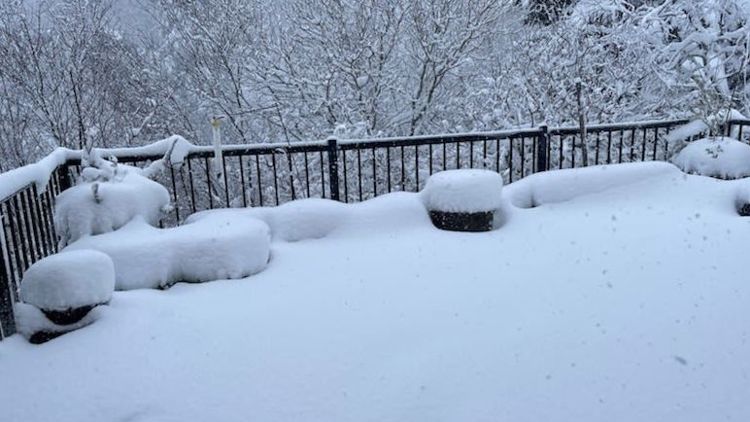
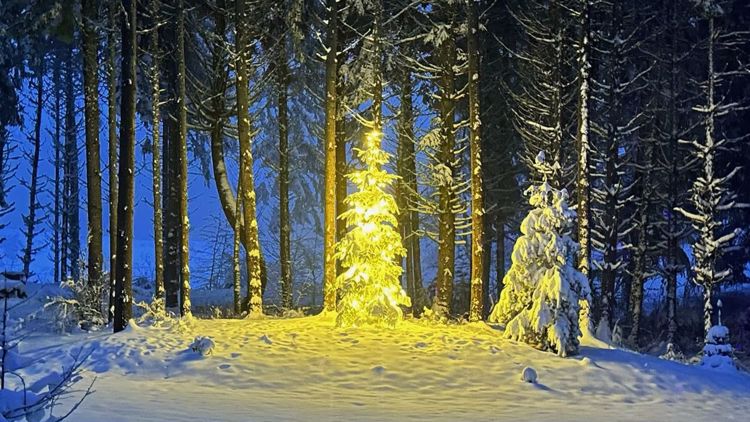
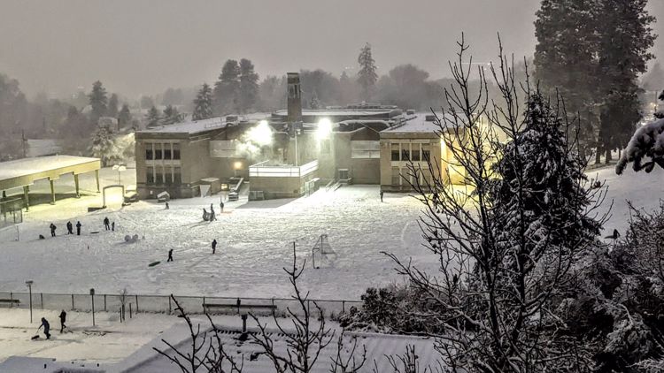
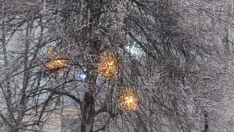
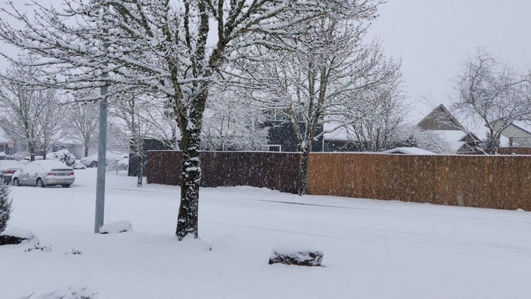
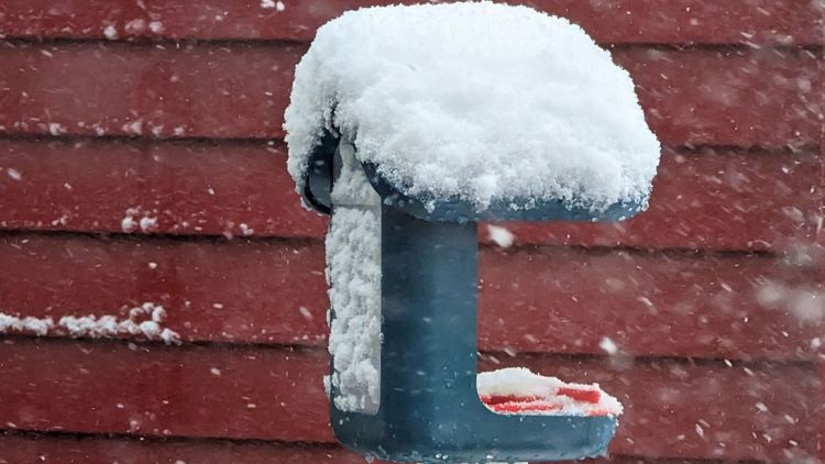
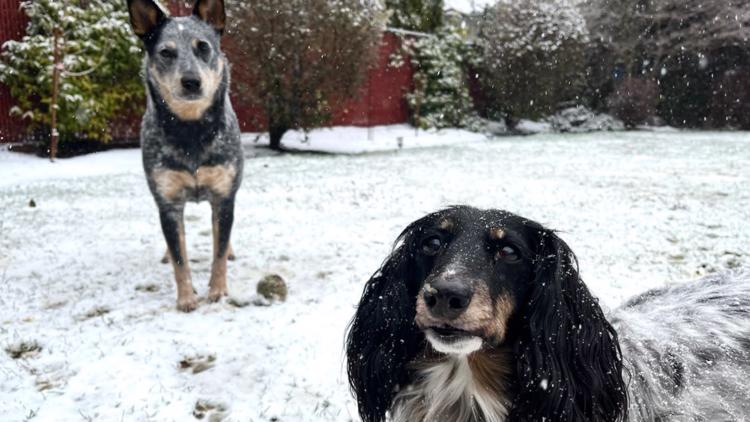
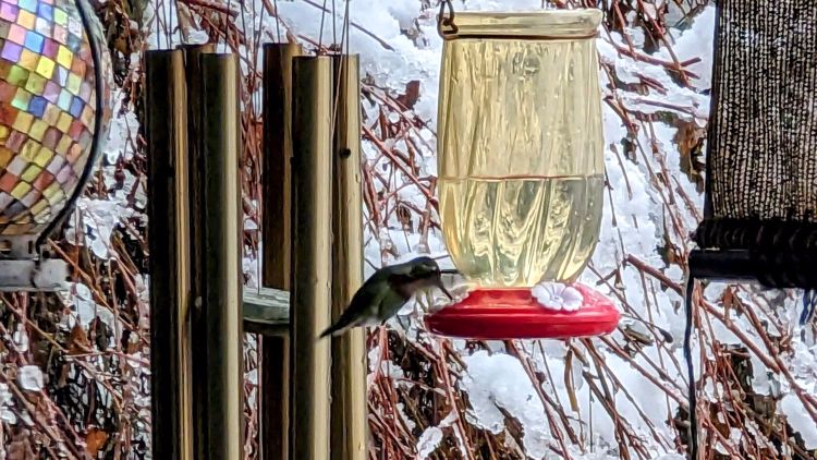
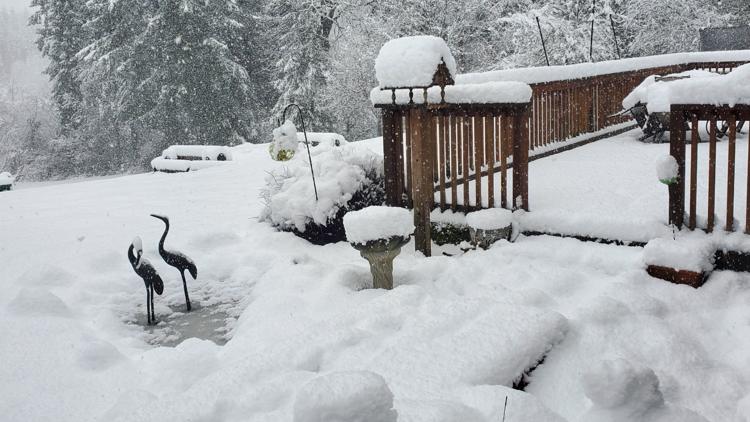
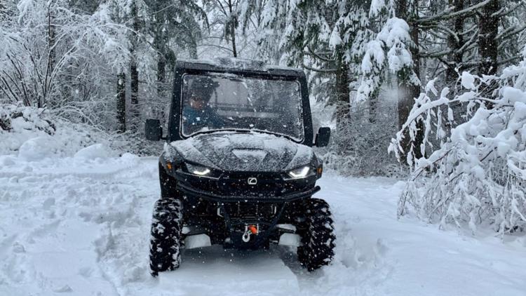
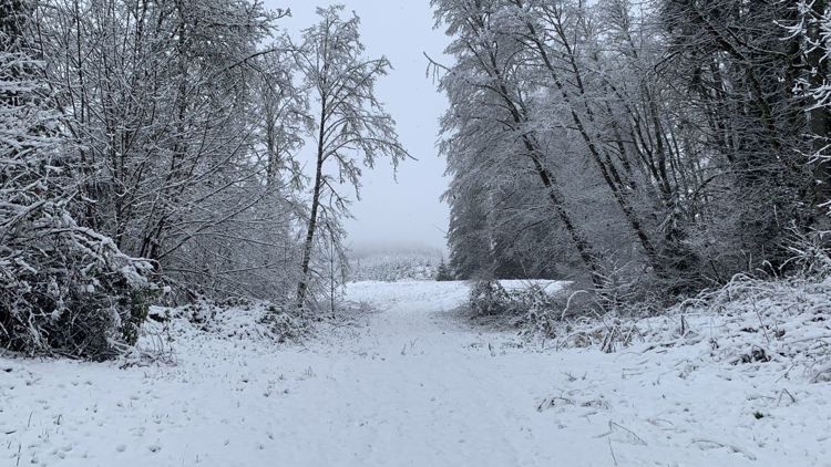
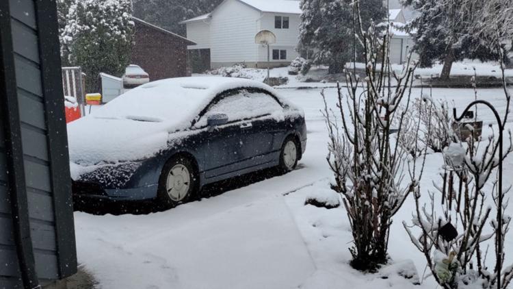
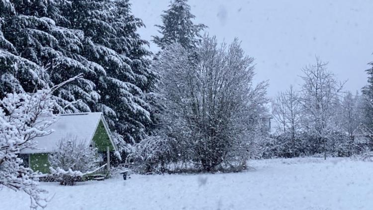
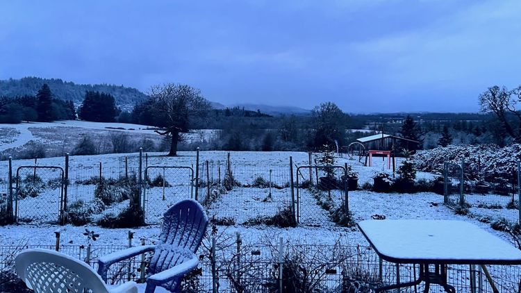
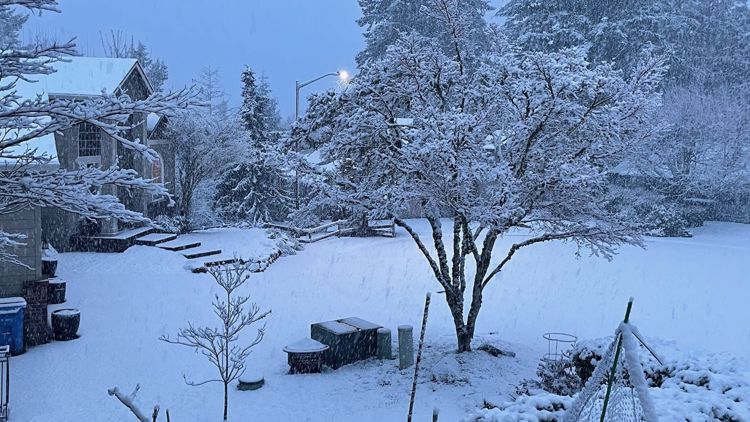
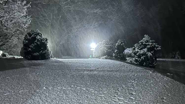
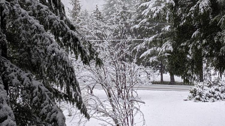
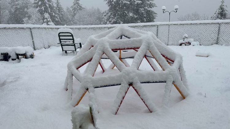
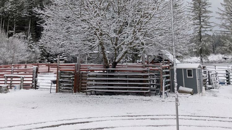
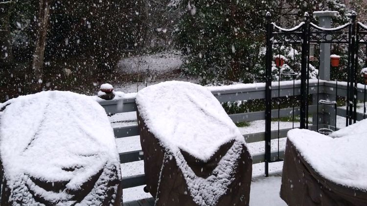
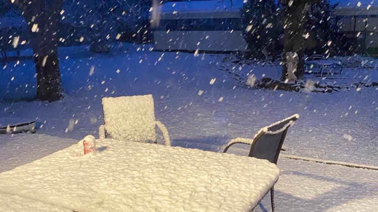
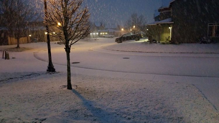
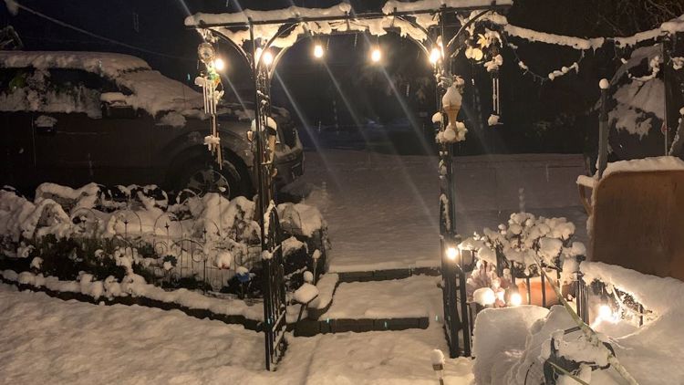
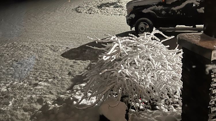
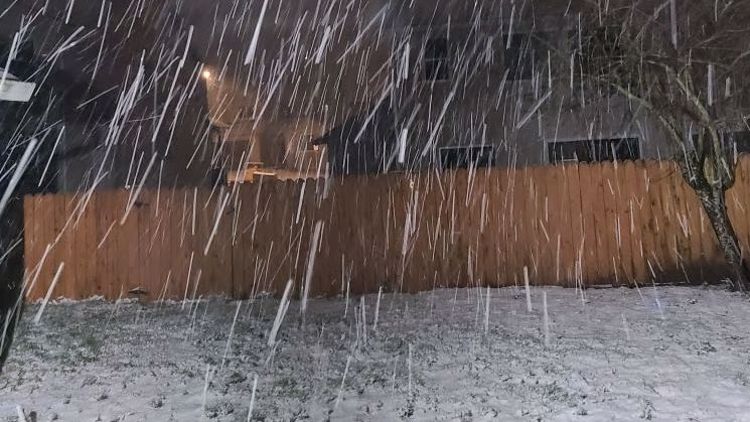
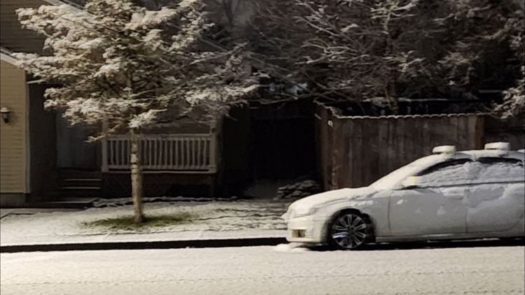
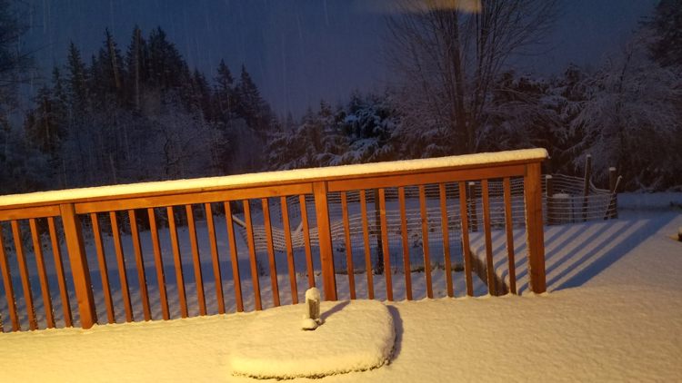
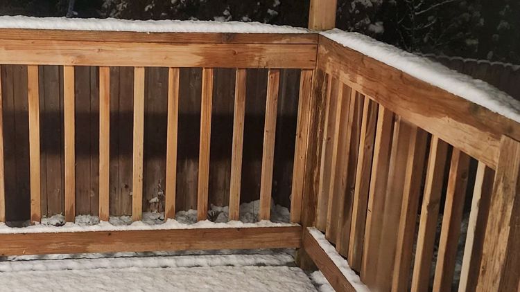
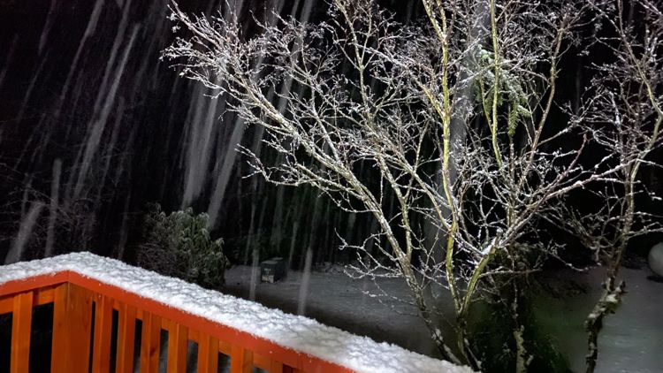
PORTLAND, Ore. — Heavier than anticipated snowfall arrived in the lower elevations of the Willamette Valley from Wednesday afternoon into the evening. Heading into Thursday morning, freezing temperatures could prove to be a bigger problem than snow accumulations, however.
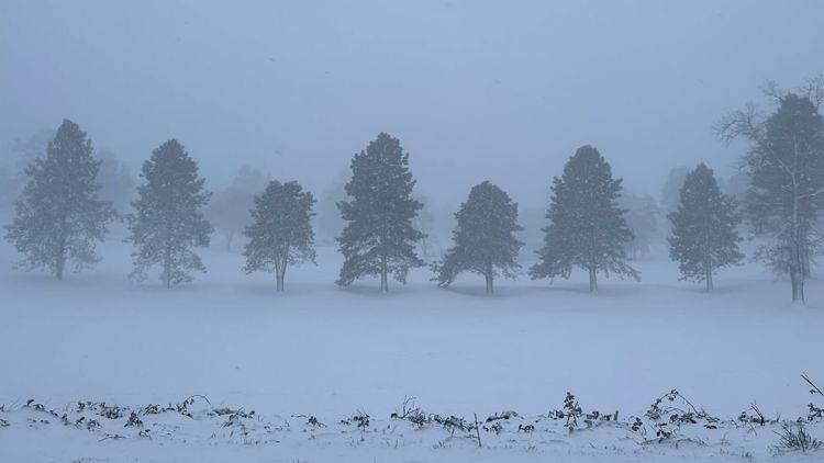
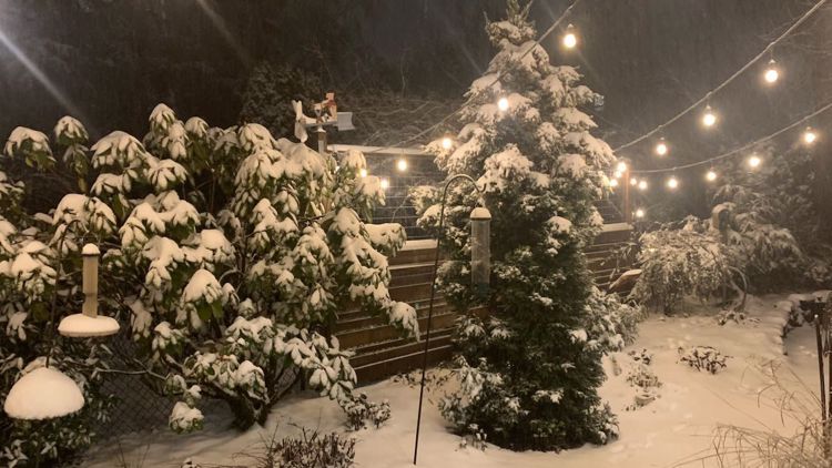
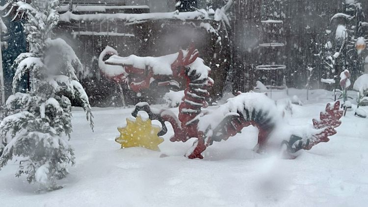
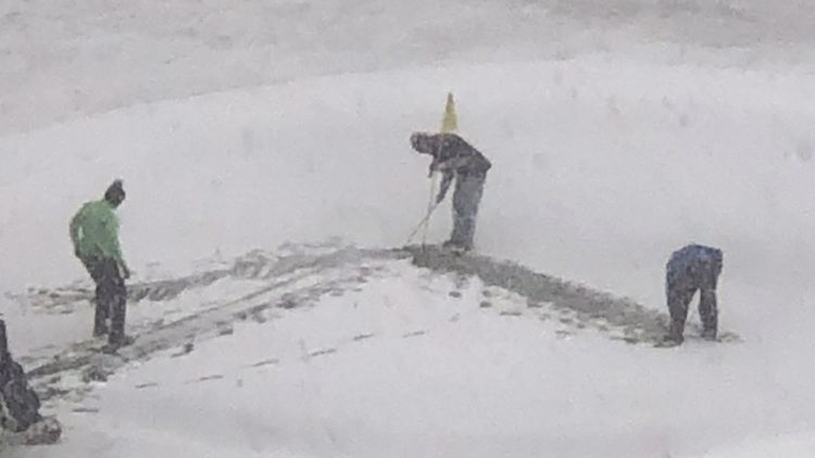
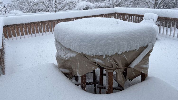
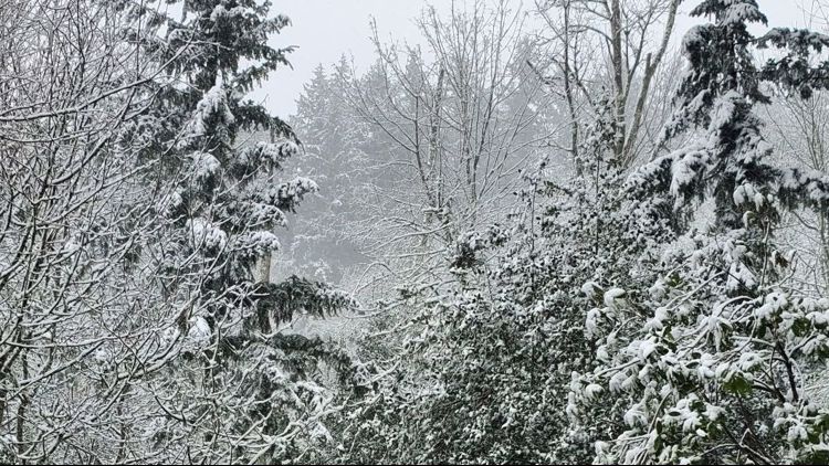
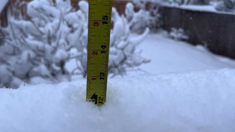
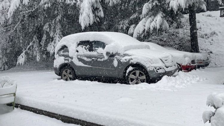
People from as far north as Battle Ground, Wash. and down south to Albany, Oregon saw anywhere from a dusting of snow to around a foot, according to KGW chief meteorologist Matt Zaffino — but as of late Wednesday afternoon, most of that snow was accumulating to the east of Interstate 5.
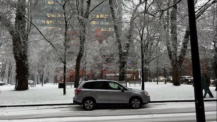
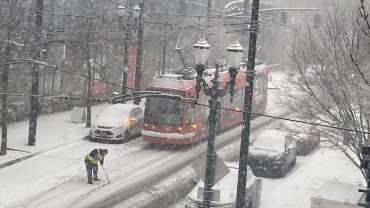
The east side of Clark County in particular was getting quite a bit of snow on Wednesday. Meanwhile, Washington County had gotten relatively little until late Wednesday evening. In downtown Portland, steady snowfall and temperatures that hovered around freezing managed to deposit several inches of snow.
The Portland metro area saw its heaviest snowfall on record late in the season, according to Zaffino.
Heaviest snow is generally east of I-5 and north of Salem. Look for snow to continue on and off into the evening, with another inch of wet snow possible in the valley. Higher amounts in hills above 500 feet. #kgwweather pic.twitter.com/6w20dSkAjF
— Matt Zaffino (@Zaffino) February 22, 2023
As east winds from the Columbia River Gorge continue blowing into the valley, Zaffino said that dropping temperatures could set up icy conditions overnight and into Thursday morning, though the snow could begin to taper off.
"It's going to switch to be an all-east wind event and get very very cold," Zaffino said. "Temperatures still above freezing for the most part, but that will change as we go into the nighttime hours."
Multiple school districts have already announced they'll be closed on Thursday due to winter weather and poor road conditions.
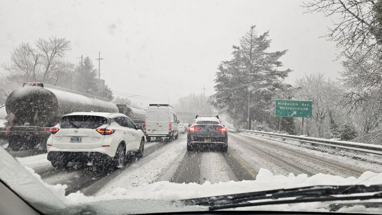
Temperatures are expected to remain cold through the evening and lows will be in the 20s overnight Wednesday. The cold temperatures could cause icy road conditions.
East winds have punched through to Troutdale and PDX. It will be getting colder as the snow continues to fall, and the slush will eventually freeze overnight. Which means roads will be getting worse as we go into the evening hours. #kgwweather pic.twitter.com/vnnfjrXN39
— Matt Zaffino (@Zaffino) February 22, 2023
Wednesday morning snow
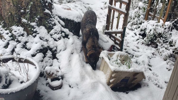
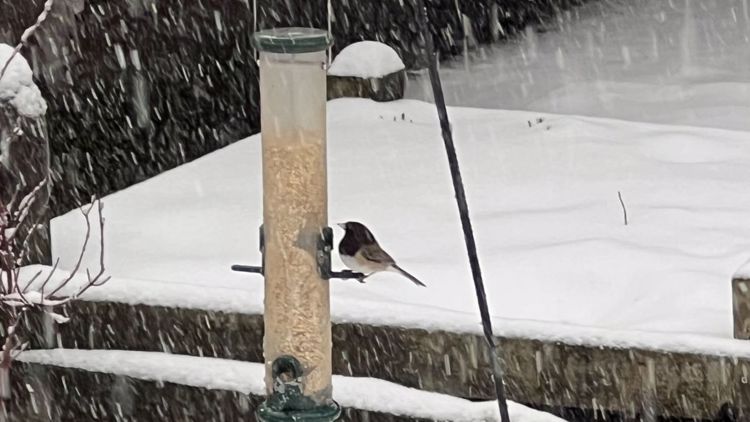
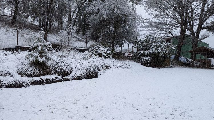
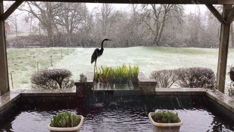
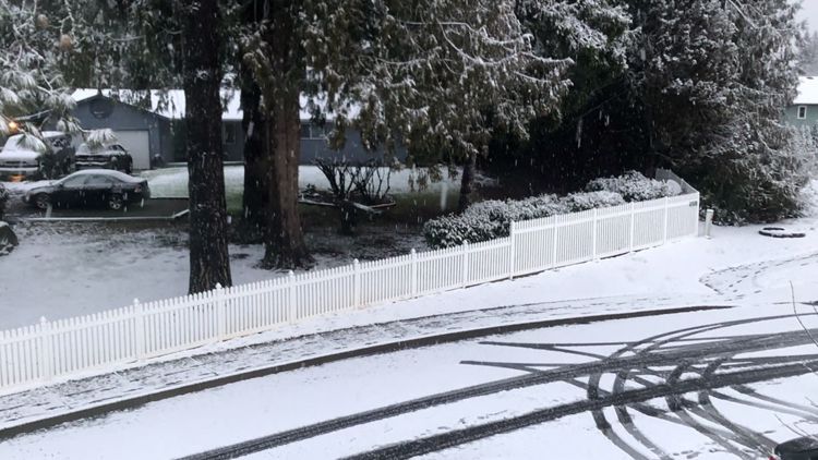
Many people around the Willamette Valley, including in Portland, woke up Wednesday to a dusting of snow on the ground. There were reports of sticking snow in the higher elevations, about 500 feet and above. Multiple school districts in the Portland, Salem and Vancouver areas delayed their start times due to the winter weather.
A KGW photojournalist saw snowflakes coming down and a blanket of snow covering the roads in the Skyline Heights neighborhood of northwest Portland. There were no report of major traffic issues.
Driving through the Skyline Heights neighborhood of NW Portland might be a little tricky this morning. @KGWNews #pdxtraffic #ORwx pic.twitter.com/AiSjyemlr6
— Eric Patterson (@KGWphotog) February 22, 2023
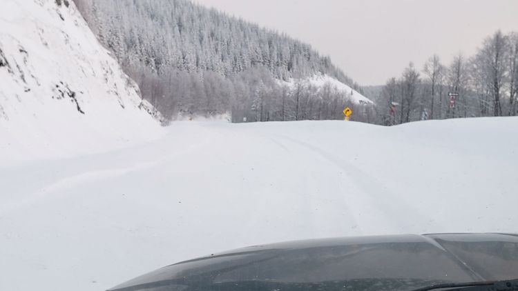
KGW reporter Bryant Clerkley drove towards the Oregon Coast Range to check out the weather conditions there. He found a few inches of snow on the ground at the Sunset Rest Area off Highway 26.
Snow is on the ground and falling at Sunset Rest area. @KGWNews pic.twitter.com/IytcwaXnqA
— Bryant Clerkley (@bryant_clerkley) February 22, 2023
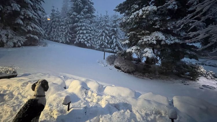
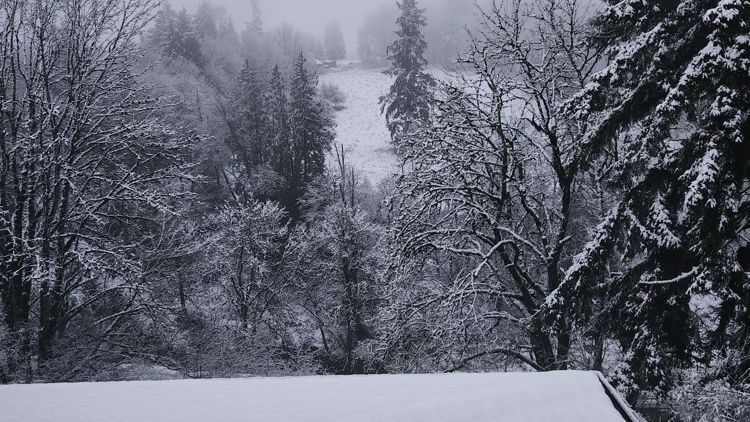
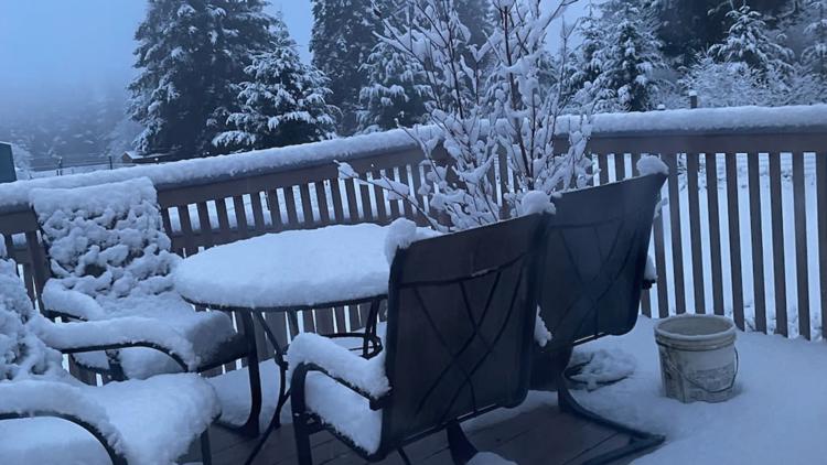
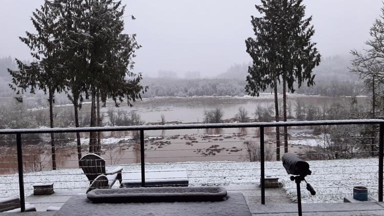
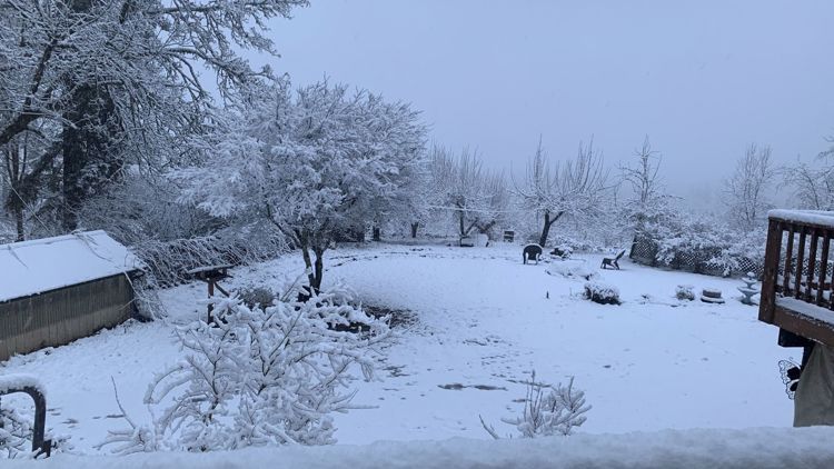
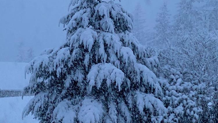
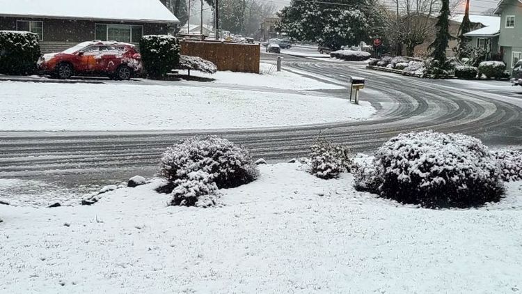
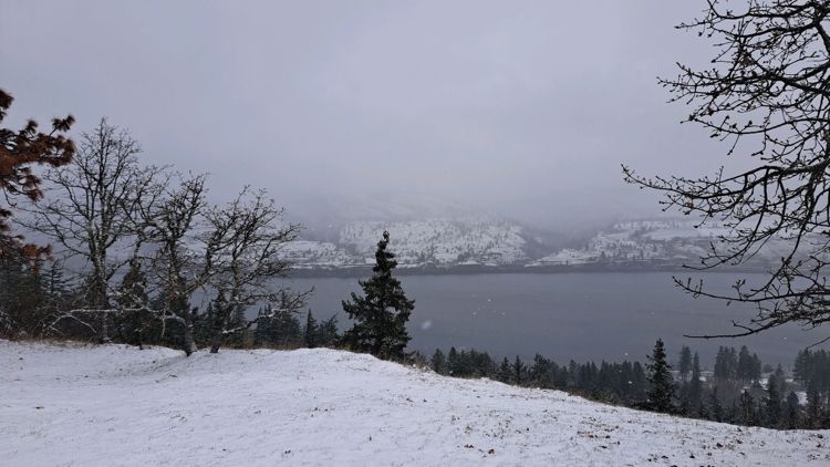
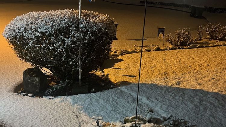
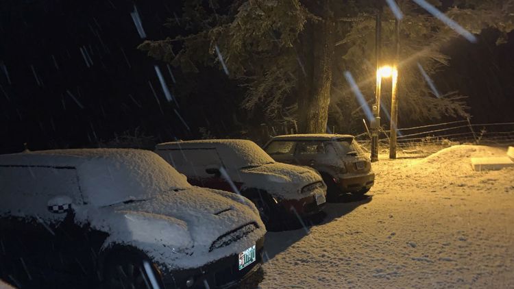
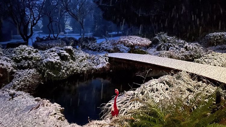
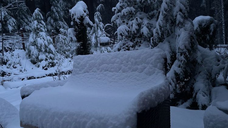
PHOTOS: Snow falls around Willamette Valley
This story may be updated throughout the day.
Related Articles
VIDEO PLAYLIST: KGW Weather

