
PORTLAND, Ore. — Portland received nearly an inch of rain Saturday morning and there's more to come this weekend.
The heaviest rain arrives early Sunday morning and will last through the first half of the day, according to KGW Meteorologist Joe Raineri. Many locations on the coast and in the valley could see up to 1" of rain by the end of Sunday with more rain moving in on Monday.
The rain brings with it the threat of flooding and that has emergency crews at the ready.
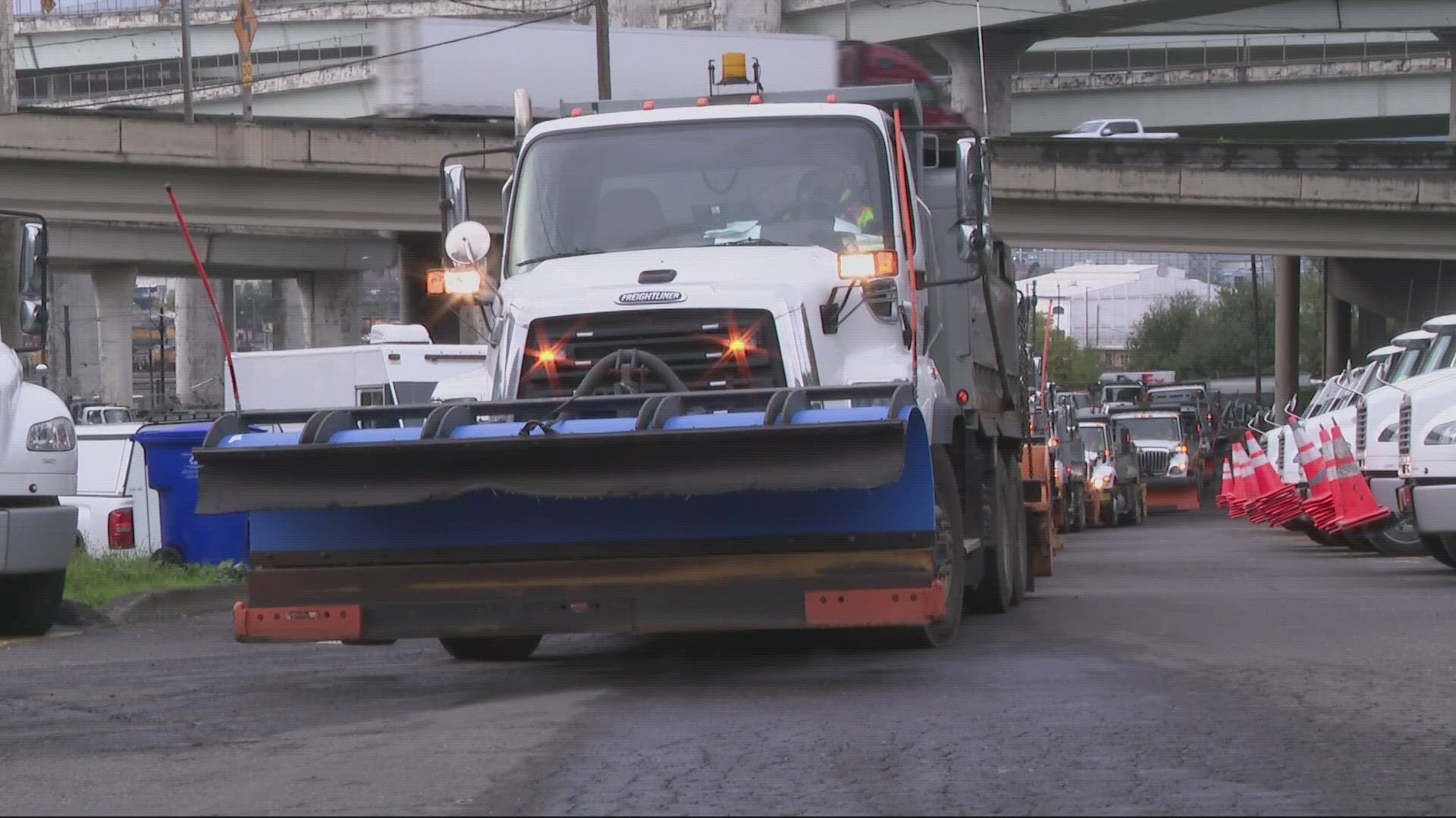
The Portland Bureau of Transportation (PBOT) said Friday they'll be bringing in extra staff in anticipation of heavy rain and potential flooding.
"We'll have more than 30 folks additionally called in this weekend to do some sort of preparation and response and coordination for severe rain," said Dylan Rivera, a spokesperson for PBOT.
The agency is also keeping an eye on snow in the Cascades as warming temperatures on Sunday could cause flooding due to melted snow.
"What we're concerned about is if we get snow in the Cascades followed by warming on Sunday," Rivera said. "What does that mean in terms of snow melt in the Monday, Tuesday timeframe? Does the snow melt add to the rain in the Portland area to start to cause some additional concern?"
Johnson Creek has the potential to flood, PBOT warned, adding that while crews will be working to clear storm drains throughout the weekend, there are dangers of localized flooding or ponding on roadways.
Rivera says they're also asking the public to help clear storm drains, which can clog easily, with more than 50,000 across the city.
The agency suggests travelers plan for extra time on the roadways, as well as making sure that your vehicle is ready for heavy rain with functioning windshield wipers and road-worthy tires.
Clackamas County has several self-service locations with sandbags. However, there was a limited quantity of bags on hand and residents were asked to bring their own bags along with a shovel.

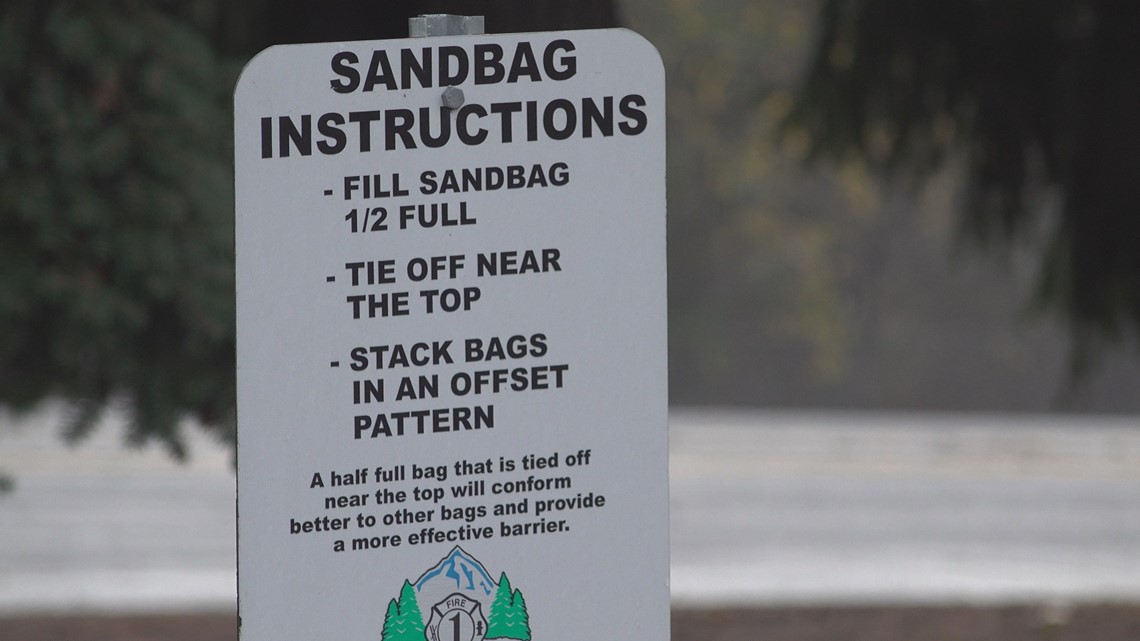
Portland also has sandbag locations listed here, as well as winter weather basics and FAQs, including how to sign up for alerts and road closures.
Watches and Warnings
There's an avalanche warning in the Cascades through Sunday night. Many of the resorts have seen snowfall over the past 24 hours measured in feet with snow levels down below pass levels. Heading into Sunday, those snow levels will rise to 8,000'.
A flood watch is in effect until the middle part of next week for parts of the Oregon Coast, metro area and valley. Rainfall amounts could exceed 2-3" by Tuesday night.
The National Weather Service is also warning those on the coasts of Oregon and Washington to be aware of potential sneaker waves through Wednesday night.
Our weather team is also paying close attention to high winds. Gusts up to 35 mph are expected throughout Sunday as well.
Mountain Snow
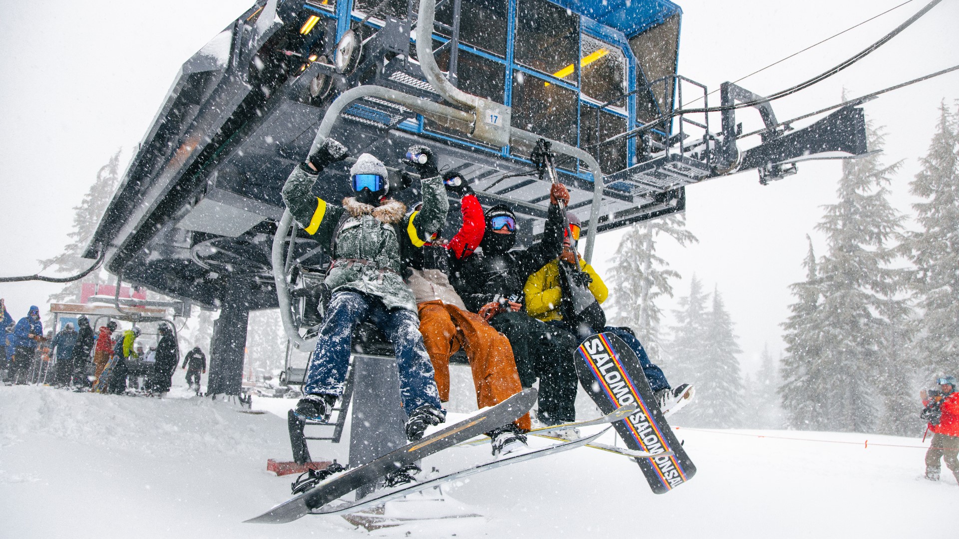
Timberline on Mount Hood reports 13" of snow in the past 24 hours. They expected to open its chair lifts on Saturday but had to postpone until Sunday because of high winds. Lifts are scheduled to open Sunday from 9 a.m. to 4 p.m., depending on the weather.
In the Oregon Cascades, Mt. Bachelor near Bend opened Saturday after getting over two feet of snow, according to the ski resort.
Traffic Conditions
Saturday traffic problems due to weather
Highway 26 east of Seaside is back open after being closed at milepost 10 in both directions due to a tree blocking all lanes, according to the Seaside Police Department.

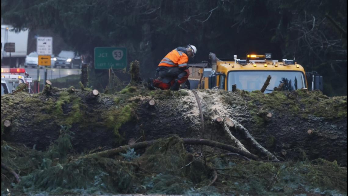
In eastern Multnomah County, a car hit a downed tree and then another vehicle near Northeast 223rd and Marine Drive just after 4:30 a.m., blocking part of the road for around two hours. Nobody was injured and the tree has been removed, according to the Multnomah County Sheriff's Office.
The eastbound lane of Northeast Halsey Street under the Cesar Chávez Blvd overpass was closed for a couple hours but reopened early in the afternoon. High water flooded the area because of the lack of storm drains.
There were a countless number of trees that came down including one on Southeast Thorburn Street east of 63rd Avenue in Portland.
The rain and wind slowed down MAX trains, which reduced their speeds to 35 miles an hour with TriMet warning of delays.
A rockslide on Highway 6 near milepost 20 blocked lanes Friday evening near Lees Camp in the coast range. ODOT said the lanes are now clear but to be cautious if you're traveling through that area.
Power outages
Hundreds, including 4,400 PGE customers, were without power Saturday morning, particularly for a big chunk of customers in the Welches area heading up to Mount Hood. Power has since been restored with only a handful of outages as of late Saturday night.
Associated Press reporting has contributed to this article.