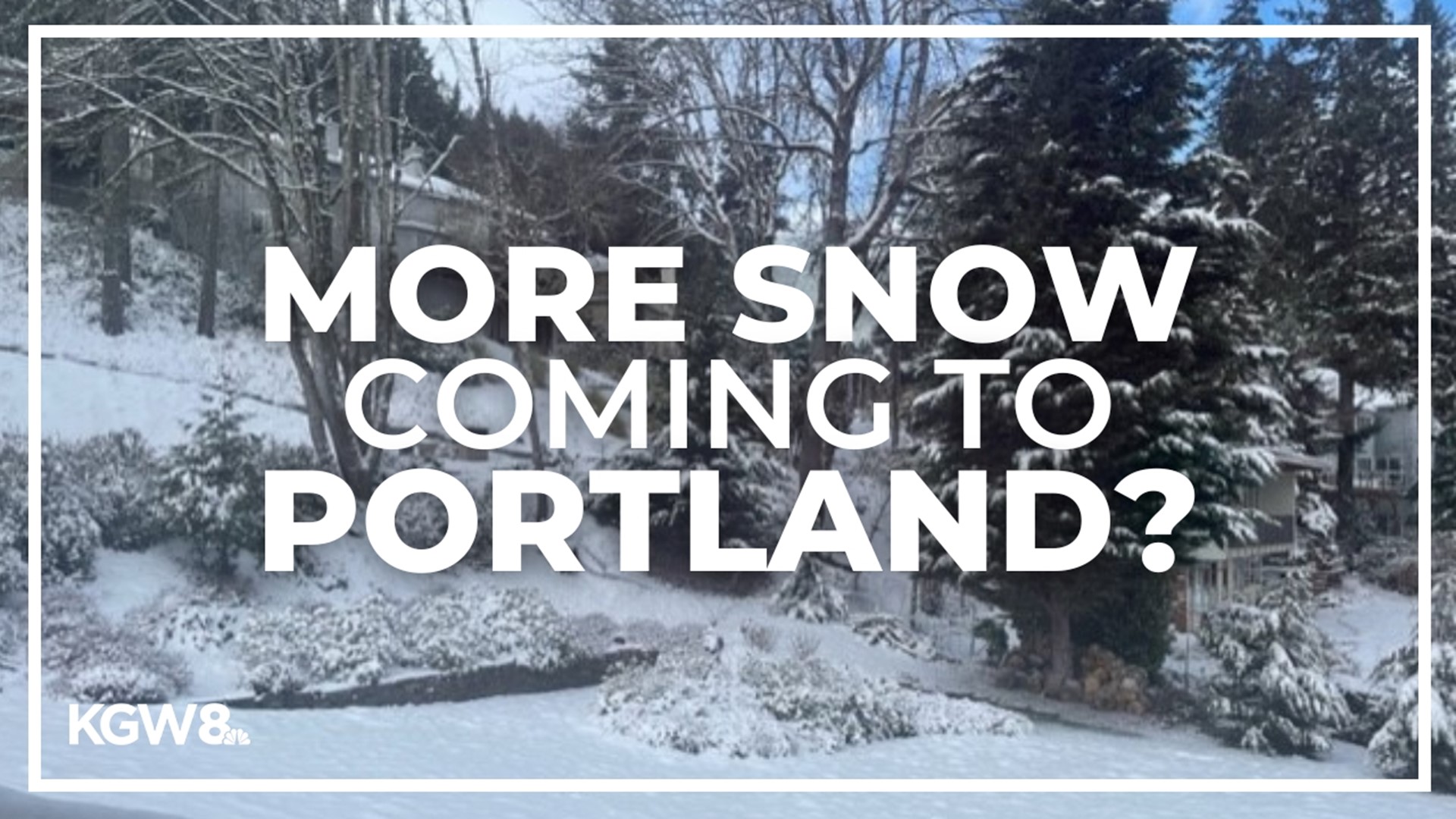
PORTLAND, Ore. — After getting buried under way, way more snow than expected Wednesday, Portland was paralyzed Thursday with roads jammed, buses stuck, schools closed, power out and flights canceled. The mayhem continued Friday morning with slick roads caused by the snow and slush refreezing overnight amid stubbornly cold temperatures.
The silver lining for Portlanders trudging through Thursday's mess was that there wasn't any additional snow in the forecast, just cold temperatures and a slow melt-out that would likely take until Sunday.
However, the forecast on Friday morning became — quite literally — cloudier.
Friday's forecast still calls for a sunny day with temperatures in the mid-30s, high enough to allow for some melting, according to KGW chief meteorologist Matt Zaffino, but the chance of another round of snow Saturday night and Sunday morning has become more significant.
"It's certainly a possibility that there's a few hours overnight, Saturday overnight into early Sunday morning, where it's snowing, and some of the weather models print out anywhere at low elevations from a half of an inch to about two and a half inches," said KGW meteorologist Rod Hill.
With many roads still icy as of Friday, state and local authorities were urging Portlanders to hunker down and try to wait out the snowstorm at home as much as possible. Most metro area emergency warming shelters that opened Wednesday night will remain open Friday night.
Cold temperatures slow down melting
Cold east winds kept blowing in from the gorge Thursday, keeping the high temperature at only about 32 degrees and dropping overnight temperatures into the teens, Hill said, with a wind chill factor pushing things down to single digits.
Those winds should back off Friday afternoon, Zaffino said, contributing to the brief window of above-freezing temperatures, but he said the increased chance of snow Saturday night makes an earlier prediction of 40-degree temperatures on Sunday less certain.
"The temperatures Sunday morning are either going to be 30, 31 at the coldest at low elevations," Hill said, "or they could be more like 35, 36 degrees, potentially. So I'm not sure if we're going to have sticking snow or not, but it is something we're putting out there for you to keep an eye on."
On top of that, there's an emerging chance of a third round of snow on Monday and Tuesday. The forecast as of Friday still calls for rain later in the day on Sunday, Hill said, with snow levels retreating to about 1,200 feet, but they're predicted to descend back to about 500 feet Monday morning.
"This is a cold weather pattern going well into the midpart of next week," Hill said, "with every weather system being a close call as to whether or not Portland will be above freezing with maybe snow flakes in the air or rain mix, or could we get caught again with freezing temps and some snow coming in, something we'll be watching at least through Tuesday."
The bottom line, Zaffino said: some parts of Portland could stay snow-covered for much of the next week.

