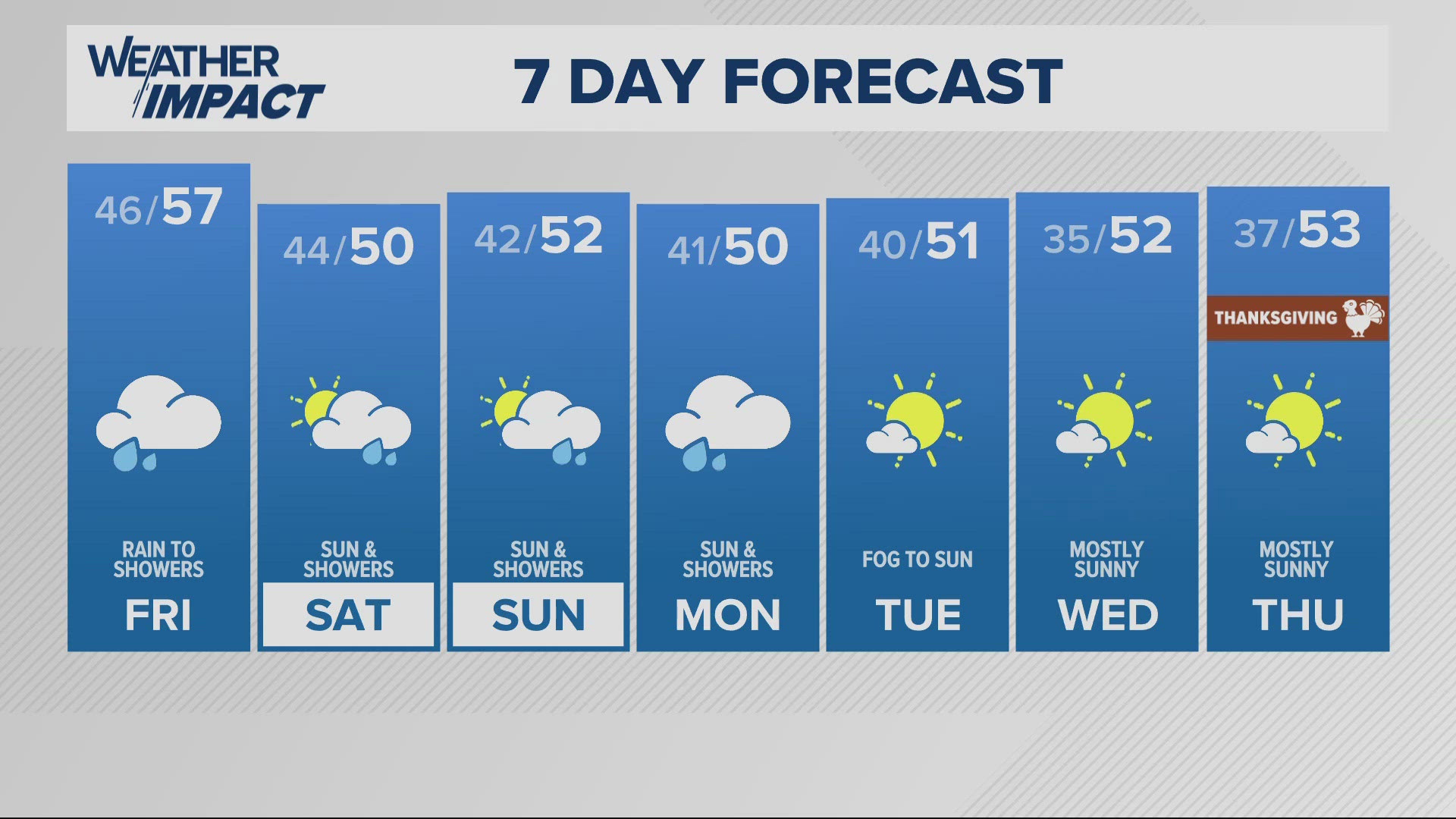
PORTLAND, Ore. — The heaviest rain will last through the first half of Sunday, thanks to an atmospheric river. Many locations on the coast and in the valley could see up to an inch of rain by the end of Sunday, with more rain moving in on Monday.
Specifically, the Portland metro area and much of the Willamette Valley will have scatterings of showers Sunday, with an estimated two inches of rain for this week. The rain brings with it the threat of flooding and that has emergency crews at the ready.
NWS Portland issued a flood warning for the Siuslaw River early Sunday evening, extending into Monday morning, with the crest coming late Sunday evening.
NWS Medford as of Sunday afternoon has reported water ponding on roadways along Highway 101 near Coos Bay and Bandon, as well as on roads near Hunter Creek in Gold Beach.
The heavy rain has also pushed back the start of skiing season for some Mount Hood resort.
There was also fog in Scappoose, Portland, Hillsboro, Aurora and McMinnville, mainly on the coastline.
The Portland Bureau of Transportation (PBOT) is keeping an eye on snow in the Cascades as warming temperatures on Sunday could cause flooding due to melted snow.
"What we're concerned about is if we get snow in the Cascades followed by warming on Sunday," Rivera said. "What does that mean in terms of snow melt in the Monday, Tuesday timeframe? Does the snow melt add to the rain in the Portland area to start to cause some additional concern?"
Johnson Creek has the potential to flood, PBOT warned, adding that while crews will be working to clear storm drains throughout the weekend, there are dangers of localized flooding or ponding on roadways.
Traffic conditions
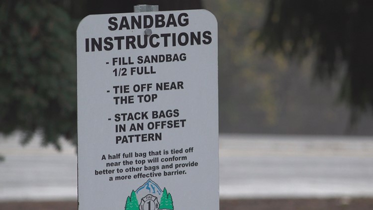
Sandbag locations
Clackamas County has several self-service locations with sandbags. However, there was a limited quantity of bags on hand and residents were asked to bring their own bags, along with a shovel.
Portland has sandbag locations listed here, as well as winter weather basics and FAQs, including how to sign up for alerts and road closures.


