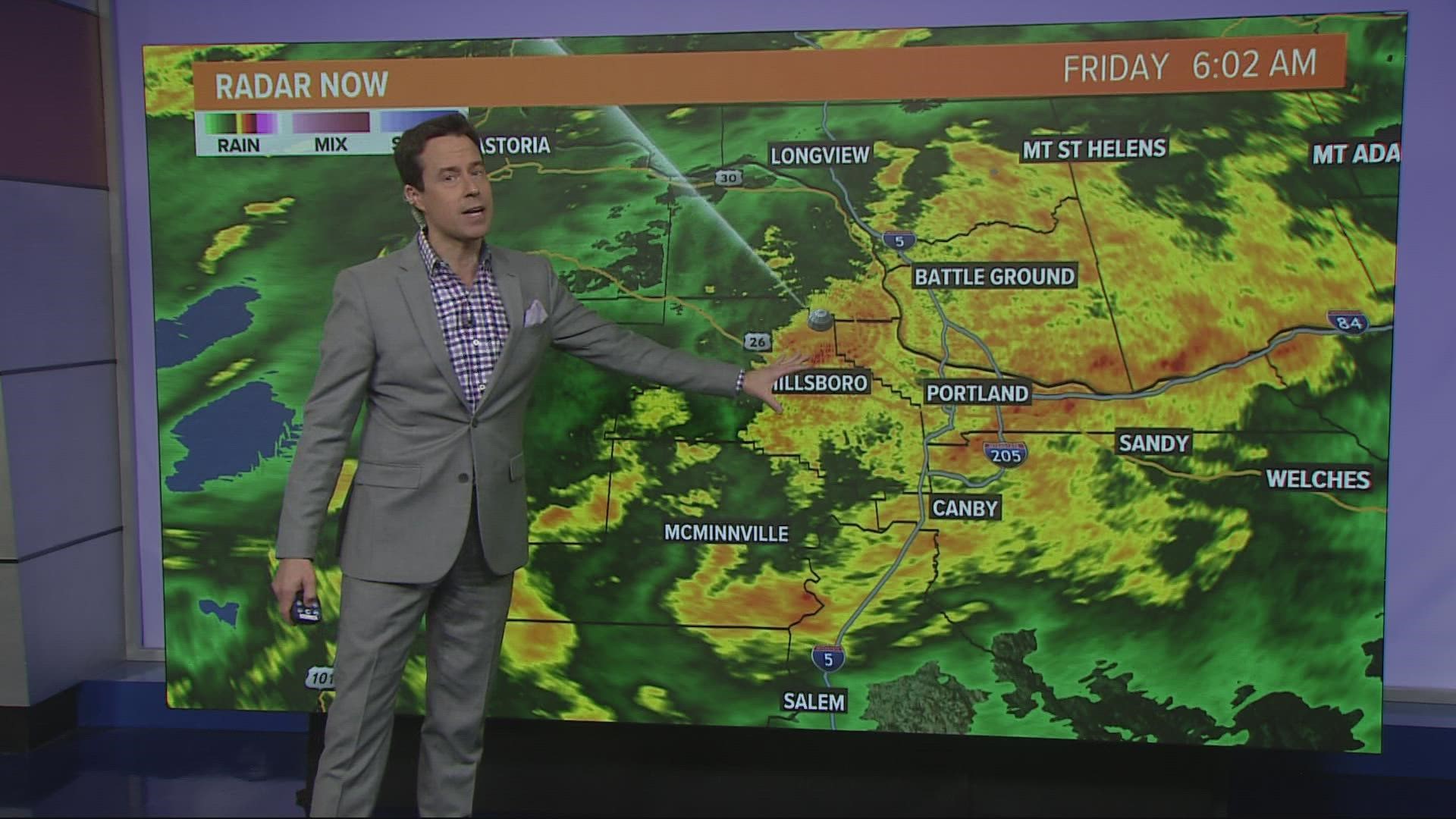
PORTLAND, Oregon — Portlanders fought their way through heavy rain on the Friday morning commute, the second major rain event to hit Northwest Oregon this week following a first round on Wednesday night.
The back-to-back downpours are expected to bring a combined total of up to 3 inches of rain to the Willamette Valley, 2.5-5 inches at the coast and 6 inches in the Cascades and Coast Range, with as much as 10 inches of total rainfall in some drainage basins.
Mudslides are a concern, according to KGW meteorologist Rod Hill, but wind wasn't expected to be a major issue this week; surface winds were predicted to be 10-20 miles per hour, rising to 20-30 miles per hour at elevations above 1,500 feet.
Radar and current conditions can be found on KGW’s weather page.
Wednesday and Thursday
A weak atmospheric river and an accompanying warm front brought the first round of steady rain Wednesday evening and continued overnight.
Thursday provided a respite, with the heavier rain pushing north into Washington and the warm front raising temperatures during the day.
Heavy rain returned on Thursday night as a cold front moved into the region, setting up a soggy Friday.
Friday
Heavy rain persisted on Friday morning and was expected to continue throughout the day due to the cold front sagging over Northwest Oregon, according to KGW Meteorologist Chris McGinness.
Portland International Airport had recorded close to 2 inches of rain by late morning, according to McGinness, with more than 4 inches of rain reported in the Cascades.
The continued rain and standing water on the roads led to multiple crashes and backups during the Friday morning commute, including on Interstates 5 and 205, as well as reports of clogged storm drains and downed trees.
The rain is expected to let up in the event, according to McGinness.

