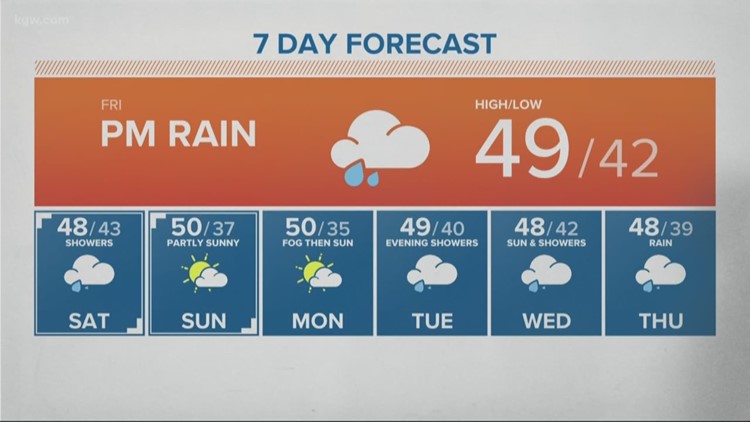
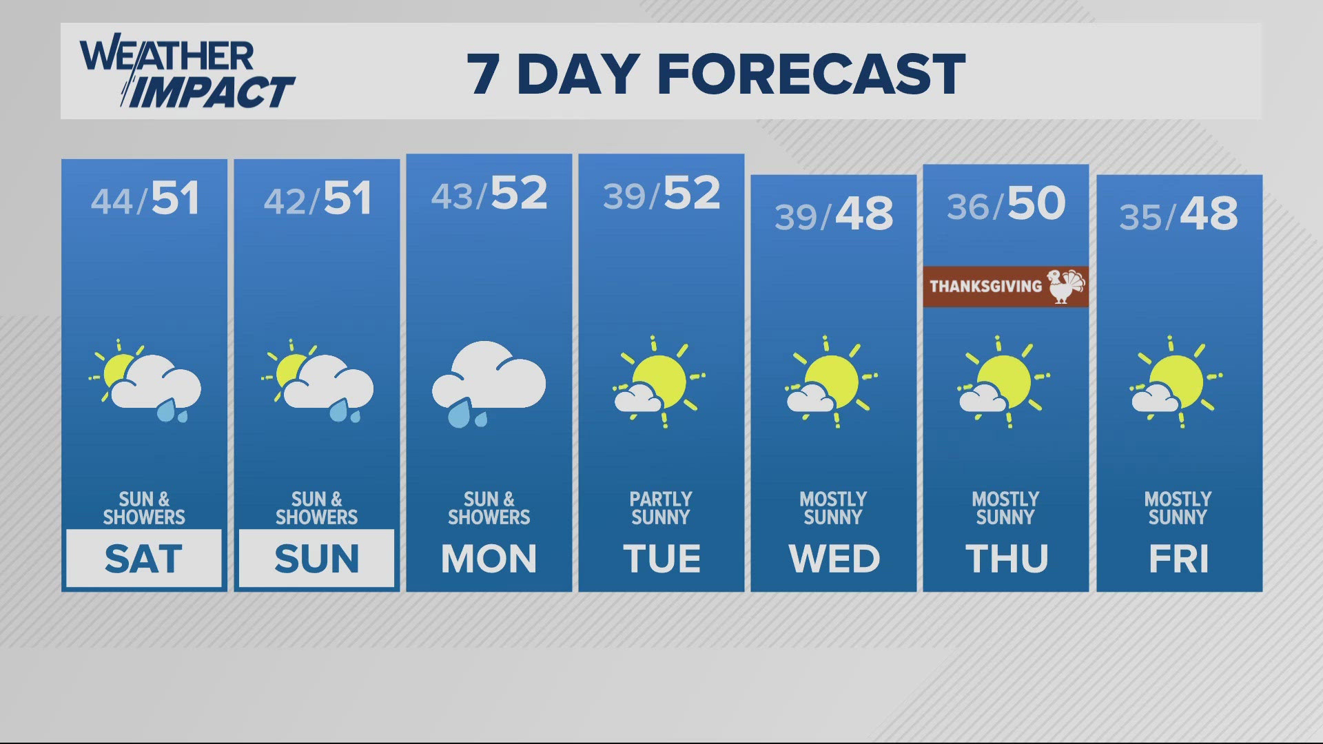
PORTLAND, Ore. — Rod Hill is starting to sound the alarm about the lack of rainfall in Portland and in Oregon over the last few weeks.
"For the past three weeks, forecast models have falsely promised a wet weather pattern in our future," the KGW meteorologist explained. "But the reality continues to be a flow pattern pushing storm centers and active moisture flows into California, leaving little for Oregon."
He said the majority of forecast models are now projecting below-normal Portland rainfall for December. That could mean rainfall amounts near 50% of normal for a third straight month.
"None of this is good news, not for Portland and not for Cascade snow pack," Hill said. "Here's hoping this dry pattern--which I did not see coming--turns around in a hurry!"
Rain totals in California have lately been exceeding the totals at Portland International Airport, meaning a more El Niño-like flow pattern than the neutral cycle that the National Oceanic and Atmospheric Administration confirms is in place.
"There is still time to turn our dry start around," Hill said. "But if we see little change through December, it will take a monster back half of winter to bring precipitation totals to normal."


