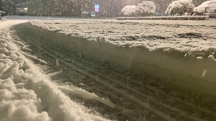
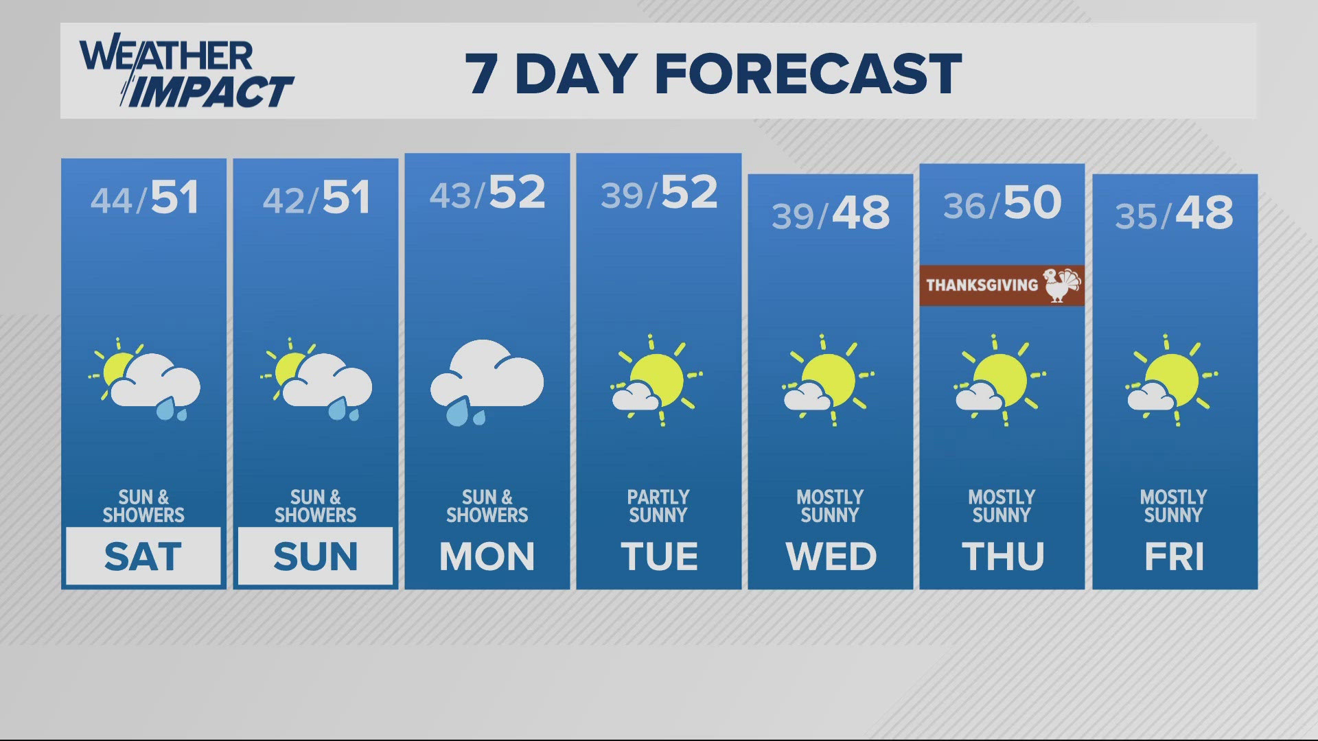
PORTLAND, Ore. — A Winter Storm Watch goes into effect Friday at noon. The watch, which goes through Saturday, stretches from the Oregon Coast, east through the Willamette Valley, and out into the Columbia River Gorge.
Once winter arrives and temperatures get colder, Oregonians start to hear more weather terminology like Winter Storm Warning and Winter Storm Watch from the National Weather Service (NWS).
The standards for watches and warnings are determined by snowfall thresholds. Before a winter storm watch or warning is issued, a specific amount of snow must be predicted to fall in an area.
Below is a look at the NWS' snow amount thresholds for some of the regions around Oregon:
- Greater Portland metro area: 3 inches
- Central and South Willamette Valley: 3 inches
- Northern Oregon Cascade foothills: 4 inches
- Lower Columbia Basin: 4 inches
- North Oregon coast: 3 inches
- Northwest Oregon coast range: 4 inches
- South central Oregon coast: 4 inches
Below is the NWS interactive map below. You can zoom in and out and click on an area to view its snow criteria.
The NWS issues a Winter Storm Warning usually 12 to 24 hours before snow, heavy freezing rain or heavy sleet begins. Winter Storm Watches are typically issued 12 to 48 hours before the start of a storm to alert the public about the possibility of a blizzard, heavy snow, heavy freezing rain or heavy sleet.
Here's a look at the descriptions for winter weather terms provided by the NWS on its website:
- Winter Storm Warning: Issued when hazardous winter weather in the form of heavy snow, heavy freezing rain, or heavy sleet is imminent or occurring. Winter Storm Warnings are usually issued 12 to 24 hours before the event is expected to begin.
- Winter Storm Watch: Alerts the public to the possibility of a blizzard, heavy snow, heavy freezing rain, or heavy sleet. Winter Storm Watches are usually issued 12 to 48 hours before the beginning of a Winter Storm.
- Winter Storm Outlook: Issued prior to a Winter Storm Watch. The Outlook is given when forecasters believe winter storm conditions are possible and are usually issued 3 to 7 days in advance of a winter storm.
- Blizzard Warning: Issued for sustained or gusty winds of 35 mph or more, and falling or blowing snow creating visibilities at or below ¼ mile; these conditions should persist for at least three hours.
- Wind Chill Warning: Issued when wind chill temperatures are expected to be hazardous to life within several minutes of exposure.
- Winter Weather Advisories: Issued for accumulations of snow, freezing rain, freezing drizzle, and sleet which will cause significant inconveniences and, if caution is not exercised, could lead to life-threatening situations.
- Dense Fog Advisory: Issued when fog will reduce visibility to ¼ mile or less over a widespread area.
- Snow Flurries: Light snow falling for short durations. No accumulation or light dusting is all that is expected.
- Snow Showers: Snow falling at varying intensities for brief periods of time. Some accumulation is possible.
- Blowing Snow: Wind-driven snow that reduces visibility and causes significant drifting. Blowing snow may be snow that is falling and/or loose snow on the ground picked up by the wind.
- Sleet: Rain drops that freeze into ice pellets before reaching the ground. Sleet usually bounces when hitting a surface and does not stick to objects. However, it can accumulate like snow and cause a hazard to motorists.
- Freezing Rain: Rain that falls onto a surface with a temperature below freezing. This causes it to freeze to surfaces, such as trees, cars, and roads, forming a coating or glaze of ice. Even small accumulations of ice can cause a significant hazard.


