PORTLAND, Ore. — Traveling the Oregon Cascade passes could get dicey this weekend as a rainstorm moves over the Willamette Valley and into the mountains, where it's expected to start dumping snow, according to KGW meteorologist Chris McGinness.
A steady, soaking rain is expected to begin overnight Saturday and into Sunday morning throughout the valley, including around Portland and Vancouver. Rainfall could add up to half an inch or even an inch, bringing the possibility of standing water wherever there are clogged storm drains by Sunday morning.
That steady rain will taper off to sporadic showers by Sunday afternoon, McGinness said.
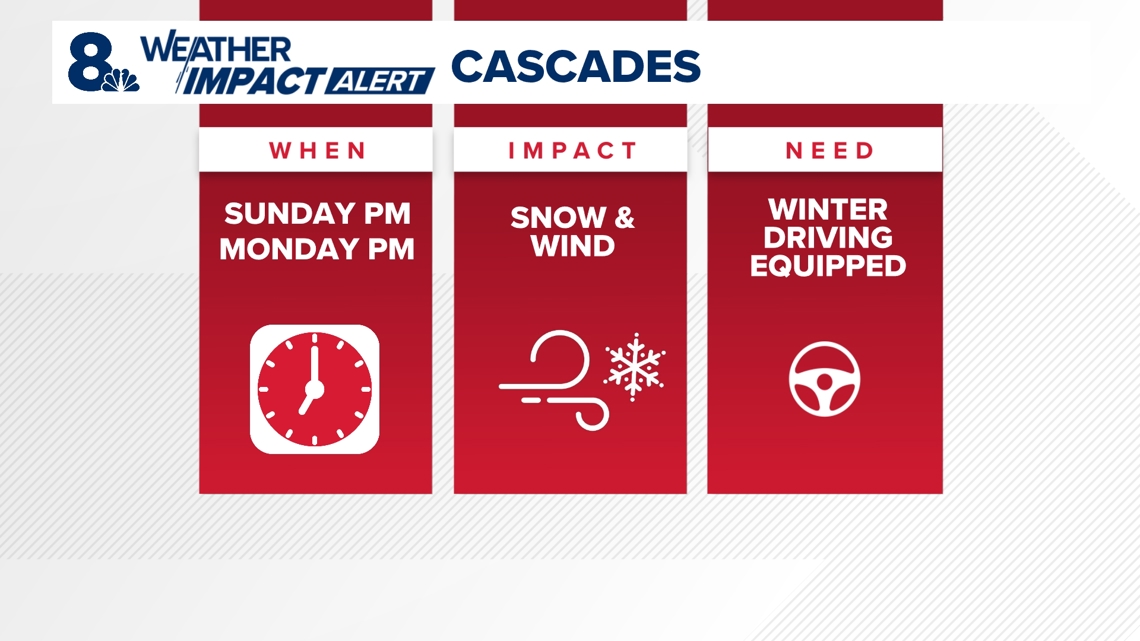
But that same precipitation will be bringing heavy snow showers to the Oregon Cascades. The mountains are under a Winter Storm Watch from 4 a.m. Sunday to 4 p.m. Monday. Snow levels are likely to start around Timberline Lodge on Saturday evening at 6,000 feet, before dropping as low as 2,500 feet by Monday morning.


The mountain passes are likely to be wintry by Sunday afternoon. Anyone driving through the Cascades should come prepared for snow-covered roads and frequent heavy snow showers from Sunday afternoon through Monday morning.
Friday saw the Portland area in between storm systems, with nothing but spotty showers and patches of dense fog. By afternoon, sunshine was making a more frequent appearance. The clear skies were expected to contribute to dropping temperatures into the evening and overnight, before clouds and rain roll in Saturday.
The rain and snow are expected to trail off Monday of next week, setting up a dry Tuesday and the potential for strong east winds.

