PORTLAND, Ore. — An incoming weather system is expected to dump significant snow on the Cascade mountains in the coming days, while Portland and the rest of the Willamette Valley are most likely in for a soggy Thanksgiving weekend — although the odds of snow will improve as things get colder next week.
Portland got steady rain Friday afternoon, but it's expected to ease off in the evening, according to KGW meteorologist Chris McGinness. It'll be a relatively dry Saturday, with returning rain Sunday. The snow level is going to remain at or above 2,500 feet, so there's no chance of it making its way to Portland.
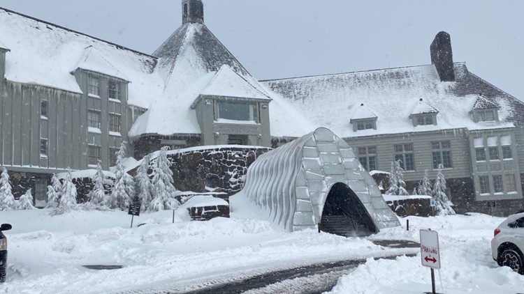
Up in the mountains, it's a different story. The National Weather Service issued a series of Winter Storm Watch alerts for parts of the Cascades and Blue Mountains, mostly starting Saturday night and continuing to Monday. Anyone traveling over the Cascade passes should prepare for very wintry roads.
Some areas could see anywhere from one to two feet of snow over the weekend, boosting the snowpack and bringing good news for the Mt Hood ski resorts, which have so far had a mix of good and bad luck in terms of getting up and running for the season.
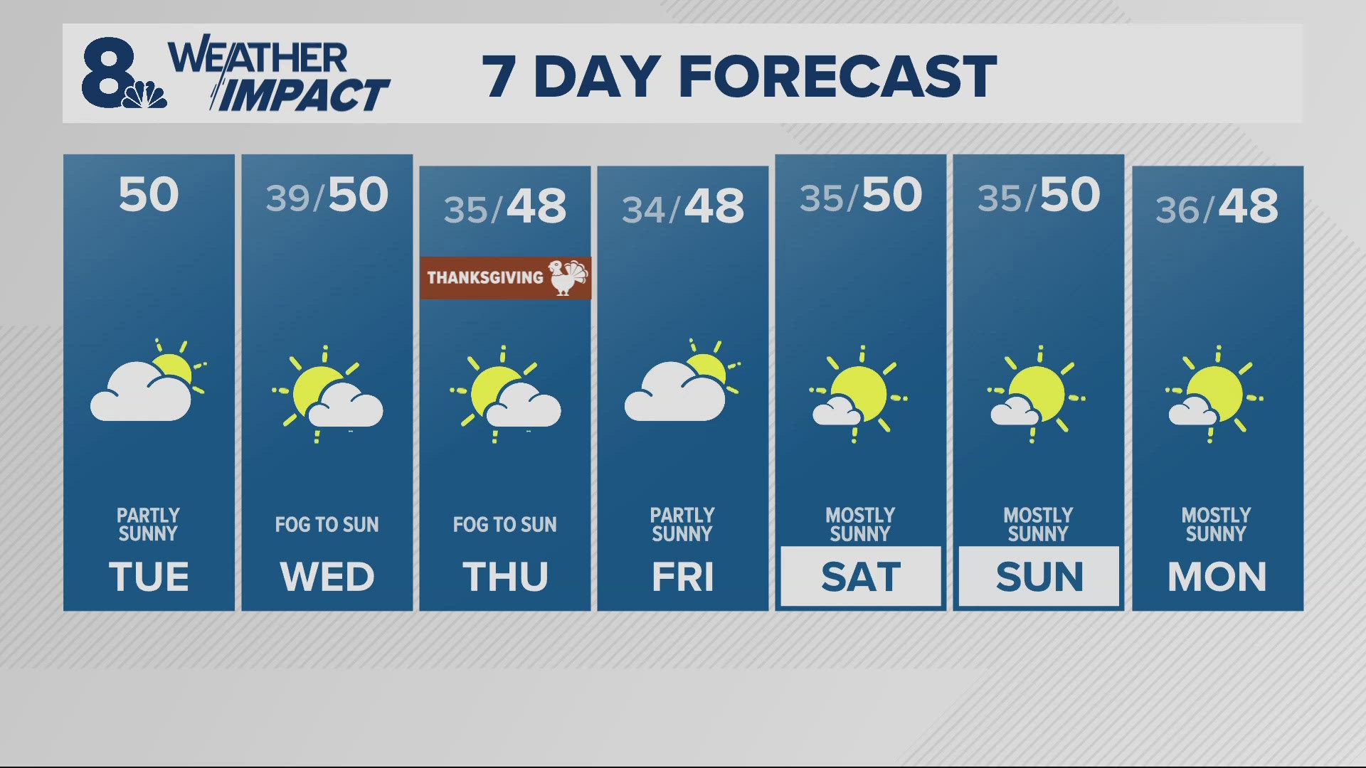
After a dry period early in the week, another weather system arrives Tuesday night and Wednesday, McGinness said, and it'll bring progressively colder air and drop the snow level to about 500 feet — just above the valley floor, making Portland-area snow a more realistic possibility starting Thursday.
"The air aloft will be cold enough to support fairly low snow levels..." McGinness said. "It's always tricky whether or not the surface is going to be cold enough that it actually drives those snow levels down to the valley floor."


