PORTLAND, Ore. — UPDATE: For the latest information on the forecast for the next few days in the Portland area, please click here.
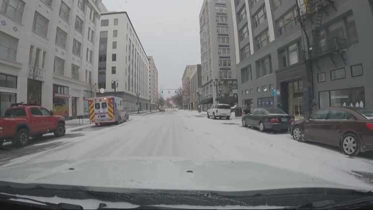
Portland has no more snow, sleet or freezing rain on the way for the next two days, KGW meteorologist Chris McGinness said Sunday morning, but what's already on the ground and roads will stick around as temperatures remain well below freezing even during the day on Sunday and Monday, and there could be one more round of wintry precipitation on Tuesday before things thaw out.
"Whatever is out there today — and tomorrow — will not be melting," he said.
Portland remained at 18 degrees as of around 6 a.m. Sunday, with similar temperatures all the way down to Eugene and temperatures down to 10 degrees in Hood River and The Dalles. Cities along the Oregon coast may get above the freezing point Sunday afternoon, McGinness said, but Portland and the rest of the Willamette Valley won't get warmer than 25 degrees.
The east winds that brought cold arctic air to Portland through the Columbia River Gorge have died down a bit but are still expected to continue Sunday, he said. They'll remain almost as strong as they were on Saturday in the Gorge itself, he said, but they'll likely only be strongly felt at the east end of the Portland metro area, where wind chill will continue to be an issue.
The next big band of moisture coming in over the Pacific Ocean will likely arrive Tuesday night, at the same time that the cold air begins to retreat, McGinness said, creating another opportunity for snow, sleet or freezing rain Tuesday afternoon and night even as temperatures finally begin to climb.
Temperatures aren't expected to get above the freezing point until Wednesday afternoon, he said, so it may take until then for the roads to thaw out.


