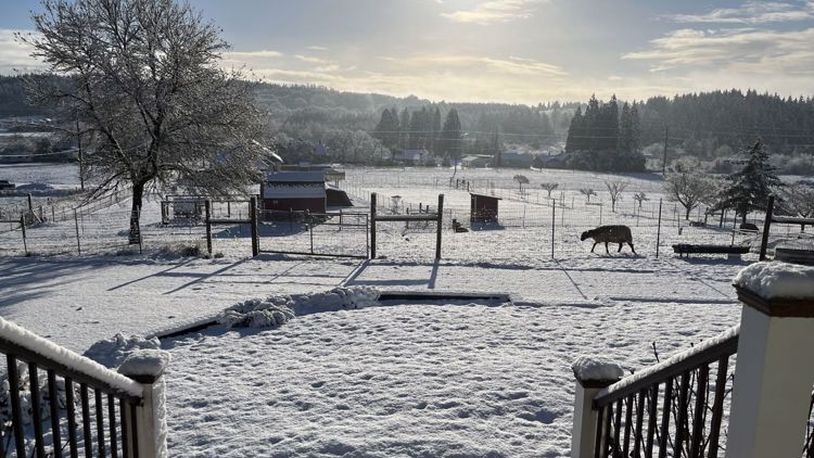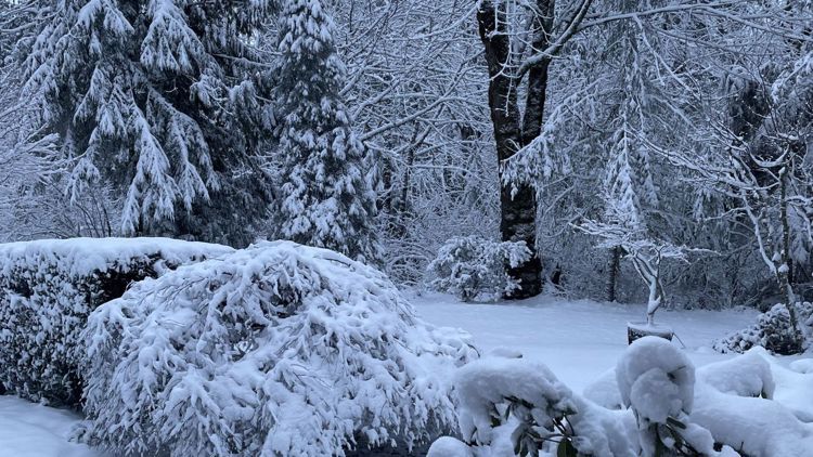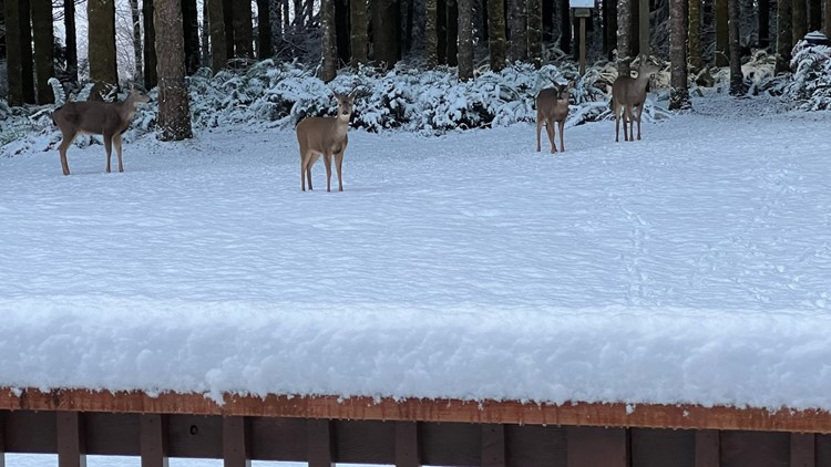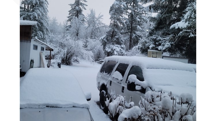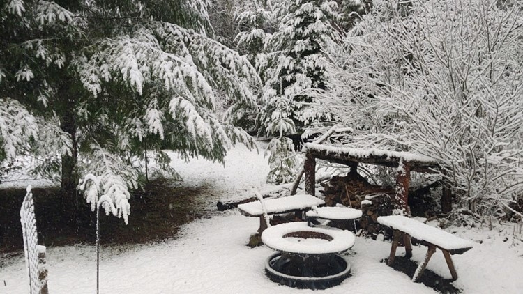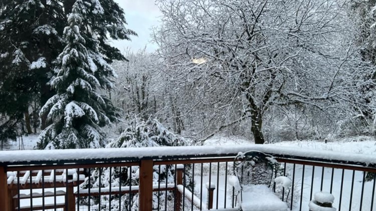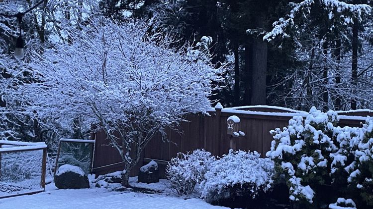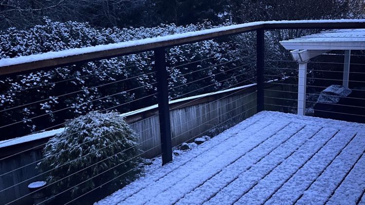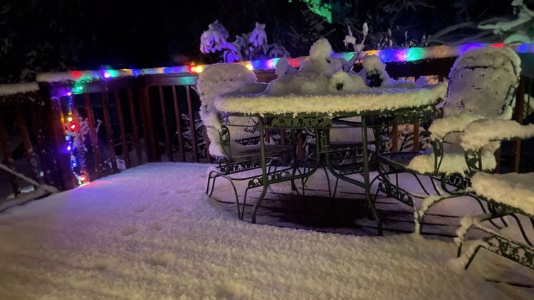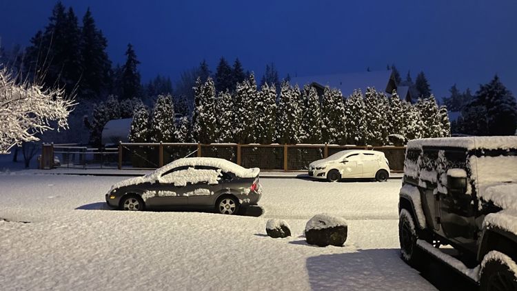
PORTLAND, Ore. — The Portland metro area saw a dusting to one inch of snow in some of the higher elevations Monday night through early Tuesday morning, according to KGW meteorologist Rod Hill. Sticking snow reports show a scattered pattern.
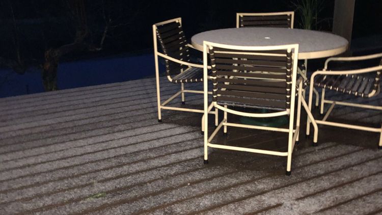
The Willamette Valley floor, including downtown Portland, has not seen sticking snow as of 6 a.m., as temperatures held mostly above 32 degrees.
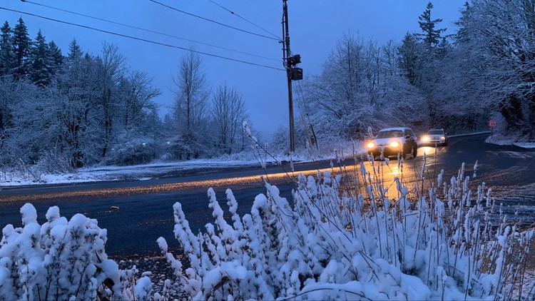
KGW reporter Devon Haskins reported seeing a dusting of snow in Portland's West Hills.
A KGW photojournalist spotted snowflakes coming down around 3 a.m. on Highway 30, just northwest of the St. Johns Bridge. Snow flurries were also seen coming down on Sauvie Island.
KGW reporter Bryant Clerkley drove south on Interstate 5, traveling to Salem, and reported some snow flurries and slick spots on the sides of the road but no sticking snow.
The last snow band is expected to drop south towards Salem by Tuesday mid-morning, Hill said, and any snow in the lower elevations will taper off.
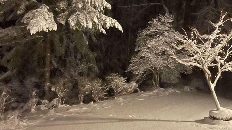
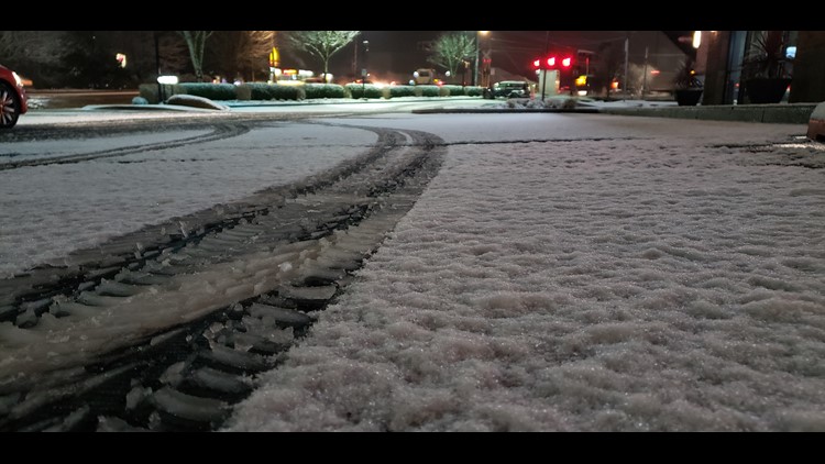
The snow level overnight held close to 500 feet, Hill said. Isolated snowfall in higher elevations began before 8 p.m. on Monday. More robust showers developed around 10 p.m.
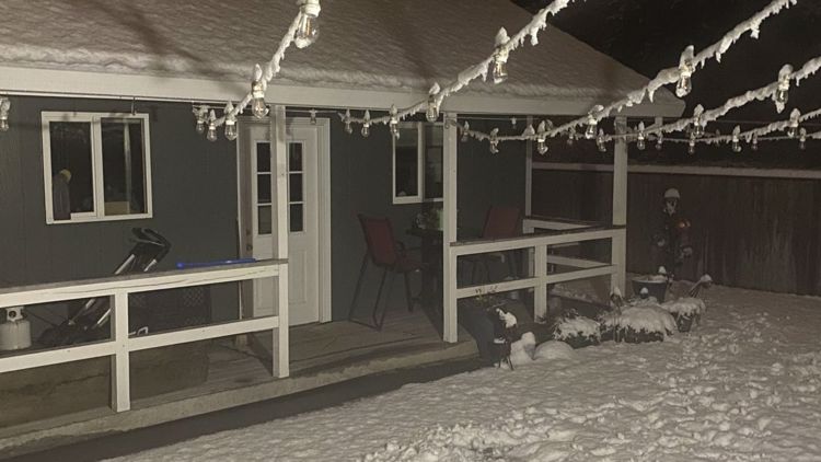
Temperatures hovered around freezing Monday night, prompting Multnomah County to declare a state of emergency. The county opened a trio of warming shelters at 8 p.m. Monday. Nobody will be turned away and all sites will be open to pets, county officials said.
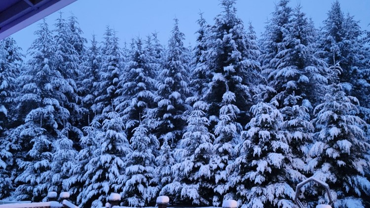
Outside of Portland, a significant amount of snow was expected in the Cascades. Mount Hood Meadows saw 16 inches of snow and Government Camp had at least a foot, according to Hill.
Along the Oregon Coast Range, six inches of snow was reported between Monday night and Tuesday morning.
The snow should end Tuesday morning with a return to dry weather Wednesday, though Tuesday night could bring a hard freeze as temperatures drop into the mid-20s.