PORTLAND, Ore. — Editors note: This story is no longer being updated. Click here for the latest snow updates.
An Ice Storm Warning has taken effect for the Portland and Vancouver areas. The warning will continue until 6 a.m. Monday, although KGW meteorologist Rod Hill said it could be extended.
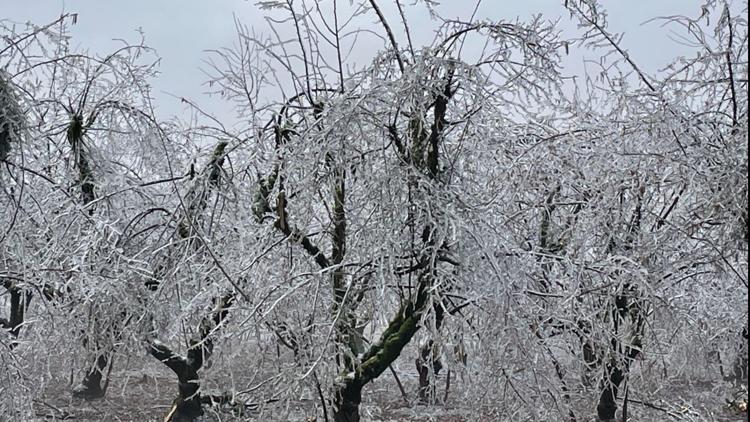
Parts of the Portland metro area saw up to 2 inches of snow Sunday morning, the afternoon hours could bring freezing rain. Freezing rain will be steady overnight into Monday. One-third to two-thirds of an inch of ice could accumulate by early Monday morning.
The National Weather Service (NWS) said people should expect snow and ice-covered roads Monday. Widespread power outages and tree damage due to ice are also possible.
The good news, Hill said, is that Monday will bring warmer temperatures. Portland could hit 44 degrees by Monday afternoon.
"We will eventually see warming take place tomorrow," Hill said.
The Columbia River Gorge will still get significant snowfall Sunday night with a mix of ice or freezing rain.
KGW chief meteorologist Matt Zaffino said 7-14 inches of snow has blanketed parts of the North Willamette Valley and Southwest Washington since Thursday. In Marion and Clackamas counties, there's been an inch of snow accumulation or more. Mount Hood Meadows has gotten at least 33 inches of snow and counting since the storm began.
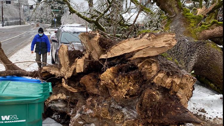
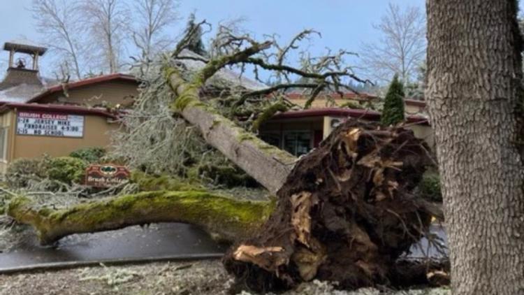
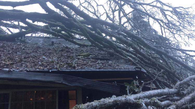
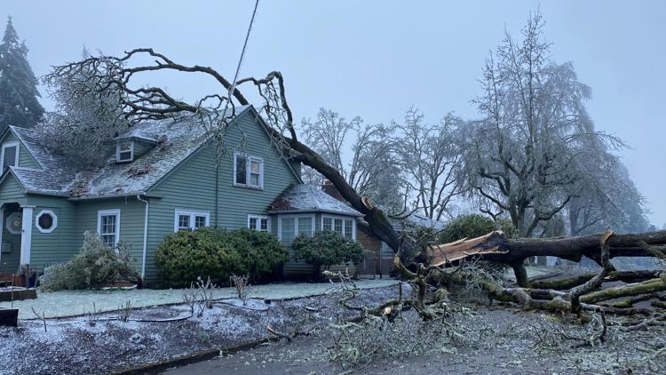
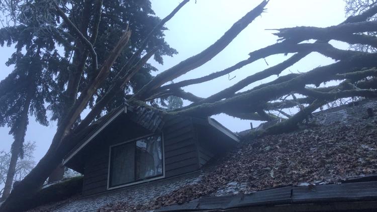
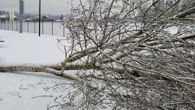
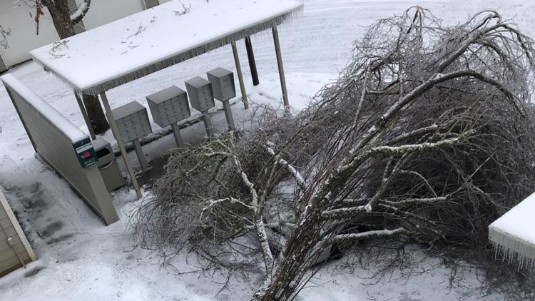
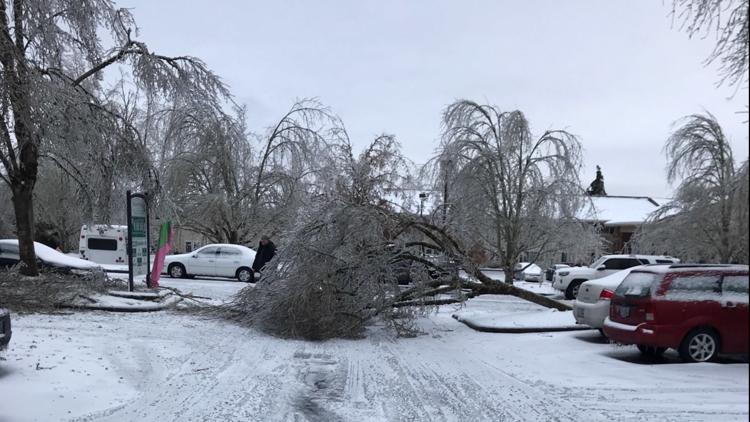
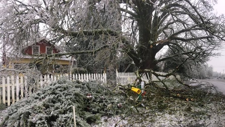
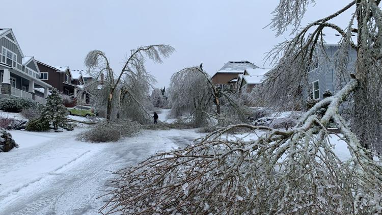
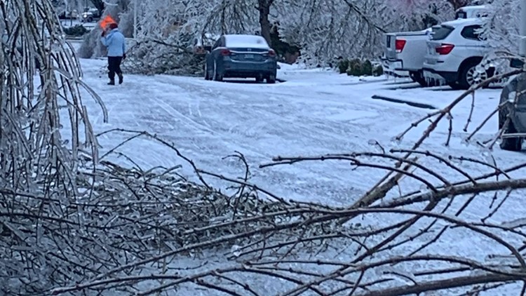
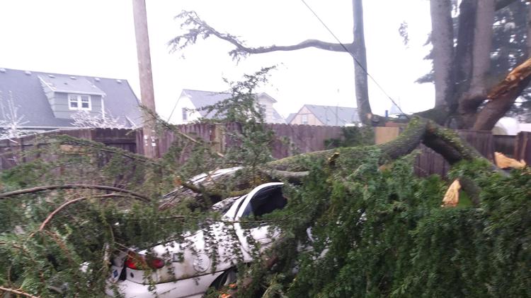
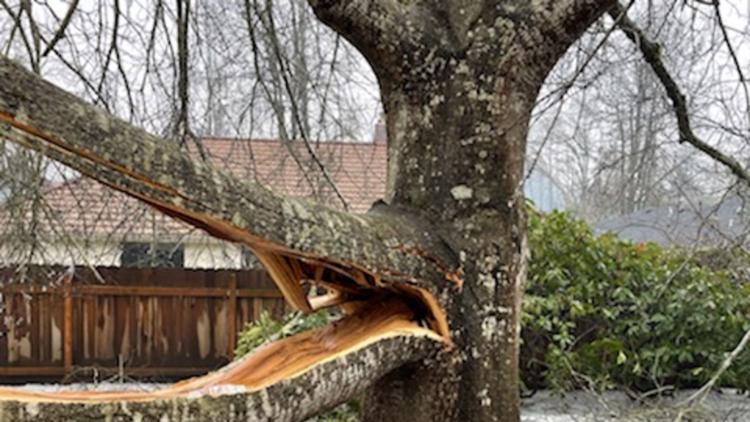
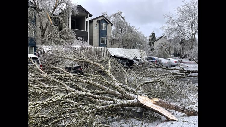
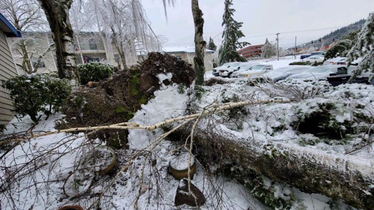
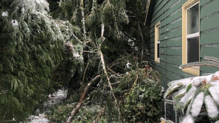
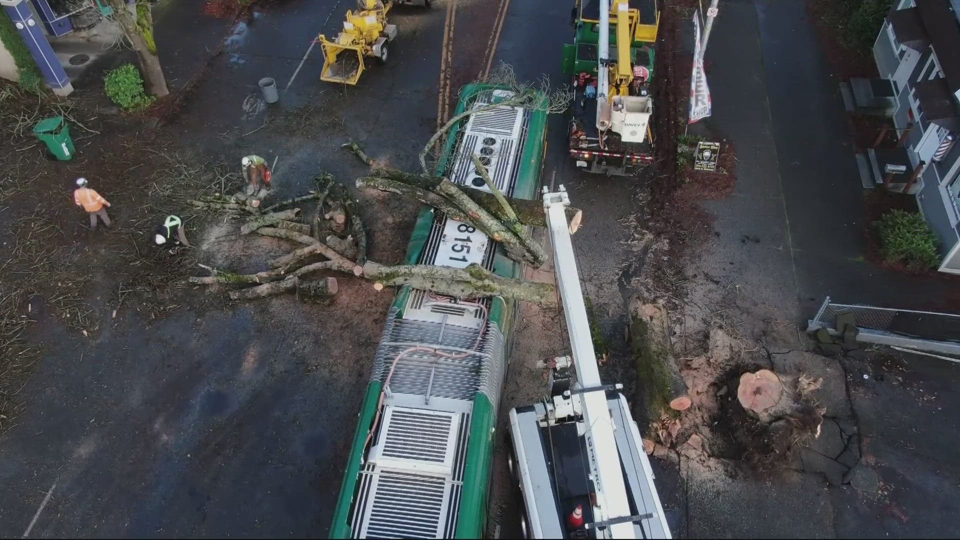
The snow and ice mix has caused slick roads and downed trees and power lines throughout the metro area. Eastbound Interstate 84 in the gorge is closed between Troutdale and Hood River, but westbound lanes reopened Sunday morning. TriMet has limited bus and MAX service. People should stay home and avoid driving if possible.
Hundreds of thousands of customers are without power across the metro area. As of 6:30 a.m. Sunday, Portland General Electric reported more nearly 200,000 customers without power from Portland down through Marion County. Check for updates in your area
Gov. Kate Brown has declared a state of emergency in nine counties due to the power outages, disruptions to transportation and downed trees and power lines.
Portland metro area
Portland and surrounding areas have received between 7 and 14 inches of snow since Thursday night, Zaffino reported. People should stay home and avoid driving if possible. Check the latest traffic updates.
The metro area is now an Ice Storm Warning until 6 a.m. on Monday. The NWS said people should expect snow and ice-covered roads Monday. Widespread power outages and tree damage due to ice are also possible.
Temperatures will warm on Monday morning, but the timing is still uncertain.
Trees and branches down across the Portland metro area
Columbia River Gorge
The western part of the Columbia River Gorge remains under a Winter Storm Warning through noon on Monday. Heavy snow fell Friday night, accompanied by east winds up to 30 mph, NWS said. Those winds will stay through the weekend, gusting as high 45 mph. There will also be more snow through Monday, between 5 and 8 inches, according to NWS. Ice accumulation of about one-tenth of an inch is also possible.
The heavy snow, ice and wind has led to dangerous driving conditions.
Southwest Washington
An Ice Storm Warning takes effect in the Vancouver area at 1 p.m. in Sunday and lasts into Monday morning. Similarly to the Portland metro, snow and ice-covered roads are expected Monday. Widespread power outages and tree damage due to ice are also possible.
Clark County declared a state of emergency Saturday morning due to heavy snow and ice in the area. Officials are asking Clark County residents to stay home and off the roads until weather conditions improve.
Willamette Valley
The region is under a Winter Weather Advisory until 6 a.m. Monday. Up to 2 inches of snow is possible in some areas, along with up to a quarter-inch of ice.
KGW chief meteorologist Matt Zaffino said Canby got 1-1.5 inches of ice accumulation and Oregon City got 1 inch of ice accumulation by Saturday night. There were widespread reports of an inch of ice in Marion County from Friday night through Saturday morning.
Travel in the area is highly discouraged. Power outages were reported throughout Marion County.
Coast Range
A Winter Weather Advisory is in effect through 6 p.m. Sunday. Additional snow accumulation of up to 3 inches and ice accumulation up to two-tenths of an inch is possible in areas such as Vernonia and Jewell, according to NWS.
Drivers should be prepared for icy roads.
What's next?
Hill said the Portland area will get a light mix of snow and ice Sunday morning, followed by freezing rain during the afternoon. Temperatures may climb above freezing, but they are expected to drop back down below freezing Sunday night.
Monday will bring warmer temperatures with moisture turning to rain and ending the threat of winter weather.
Freezing rain and snow will continue to fall in the gorge through Monday morning.
The weather through Sunday will remain as cold as it’s been this winter, with temperatures falling into the low 20s at night and potentially not getting above freezing during the day. Prior to this stretch, the coldest Portland had been this winter was 27 degrees, on Jan. 23 and Dec. 29. In fact, Portland had reached 40 degrees every day this winter before these snowstorms came, Zaffino said.


