MOUNT HOOD, Ore. — A strong atmospheric river hit the Pacific Northwest on Friday, with much of Oregon seeing high winds and heavy rain.
A handful of power outages were reported across the area Friday morning, with the largest impacting about 900 customers due to a fallen power line on a tree near Mt. Hood Village. PGE estimated power would be restored in that area by 2:30 p.m. Friday.
Check power outages: PGE | Pacific Power
The Mt. Hood area and the Cascade Mountains are expected to see three to six inches of total rainfall and wind gusts as strong as 55 mph at pass level Friday, before snow levels drop below the passes overnight and the rain turns into heavy snow Saturday and Sunday, according to KGW meteorologist Rod Hill.
High-wind warnings are in place for the Cascades and the coast range. The National Weather Service said in a tweet that tree damage and isolated power outages are possible Friday and advised people to avoid recreating in the Cascades.
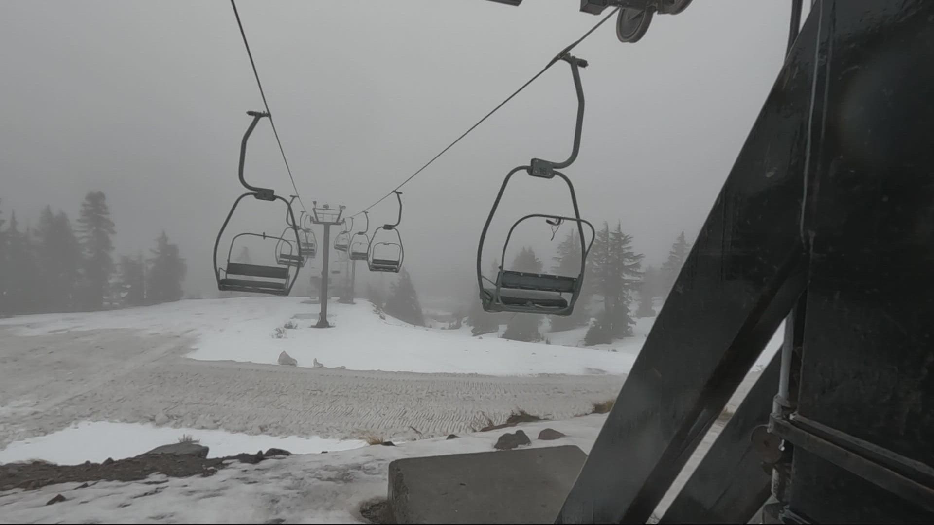
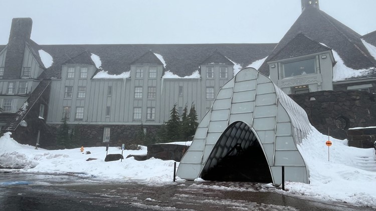
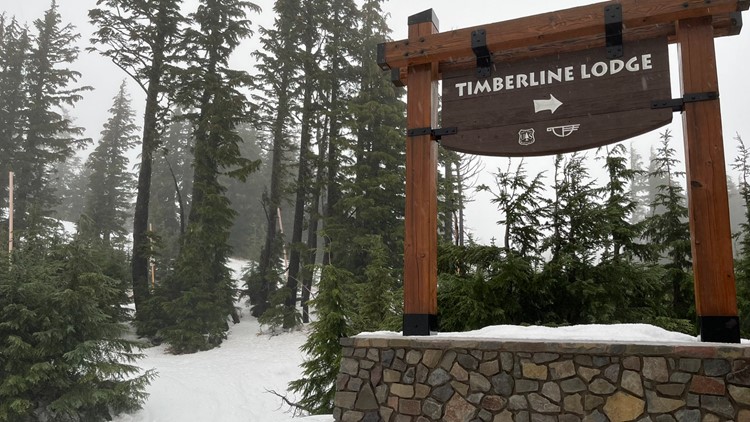
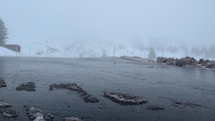
Photos: Rain, wind, snow in Mt. Hood area
The snow level will drop Friday overnight and into Saturday morning. Hill said daytime snow showers will turn into hours of heavy snow Saturday night through Sunday. More than two feet of snow is expected to fall above the passes and a foot of snow is possible at Government Camp. On Sunday, the snow level will drop to near 2,000 feet.
Check back often as KGW will update this story throughout the day Friday with up-to-date information on what's happening with the weather in the Mt. Hood area and the Cascades.
KGW Weather Links:


