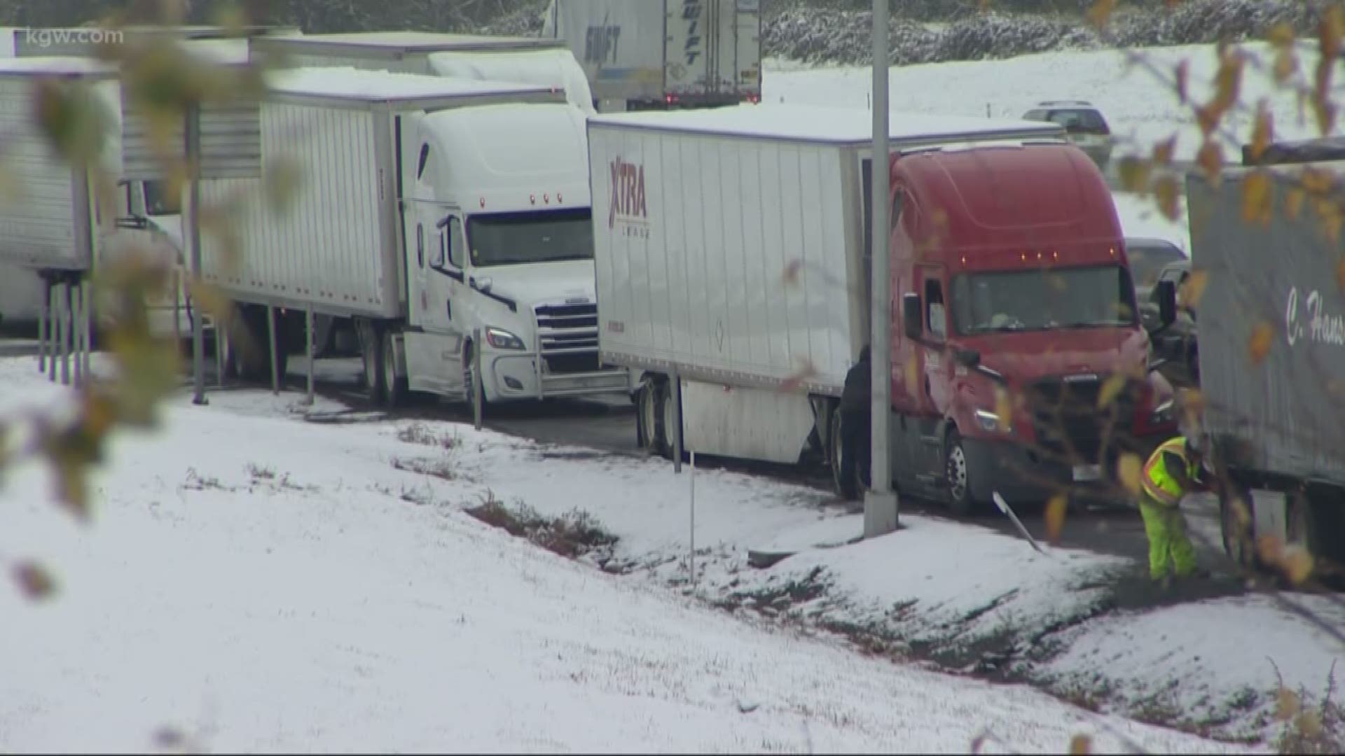
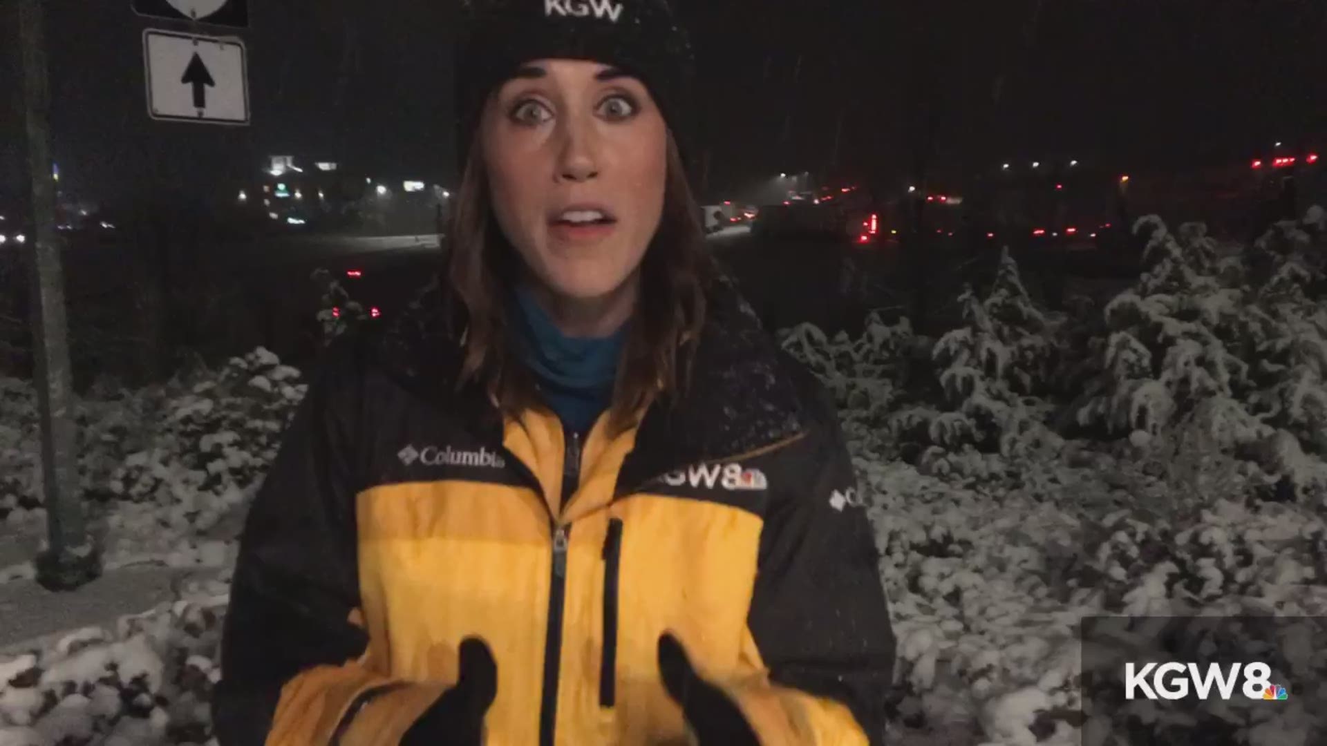
PORTLAND, Oregon — We have reporters out in the field covering the bomb cyclone, a major storm that walloped Southern Oregon and the Cascades on Tuesday night and Wednesday morning. See their social media posts below.
A bomb cyclone, also known as bombogenesis, is simply a storm that intensifies very rapidly. Bomb cyclones form when air near Earth’s surface rises quickly in the atmosphere, triggering a sudden drop in barometric pressure — at least 24 millibars within 24 hours.
And what a storm it was.
Winds gusted to 106 mph at Cape Blanco, and I-5 over the Siskiyous into and out of California was closed from Tuesday night until ODOT reopened the southbound lanes at Ashland shortly before 8:30 a.m. Wednesday.
Northbound lanes remained closed at Redding, California because of multiple stranded cars. Officials said they expected those lanes to be open again by Wednesday afternoon.
Mount Shasta City picked up 16 inches of snow in 12 hours.
Storm warnings over Mount Hood are set to expire at noon Wednesday as snow tapers off. Mount Hood resorts reported 20 inches of snow over the past two days.
The Coast Range remained largely free of trouble Wednesday morning.
Ironically, Portland missed all of this, with partly cloudy skies Wednesday and sunny skies expected Thanksgiving day.


