PORTLAND, Ore. — Portland has broken the all-time record high temperature three days in a row as a historic heatwave hits the Pacific Northwest. Saturday saw 108 degrees, Sunday the temperature was 112 degrees, Monday reached a sweltering 116 degrees.
A lot of people are wondering what's next for the months ahead and could this be a sign of hotter temperatures to come?
It's doubtful the region sees this kind of extreme heat again this summer.
What the Pacific Northwest is experiencing is unprecedented and extreme. Almost by definition, these events are very rare. It's why it’s unlikely we would see this pattern repeat again this summer. Nothing is impossible, but it’s highly unlikely.
"It would be like getting a snowstorm in December and then expecting it to keep snowing all winter," said Chief Meteorologist Matt Zaffino. "Or, if a certain spot got hit by a hurricane, that they would see hurricane after hurricane all season long."
"All that said, we expect more extremes, and more frequent weather extremes of all kinds, with our warming climate. But this historic heat wave is ending, and there are no indications it will happen again this summer."
The forecast for the first week of July is significantly cooler but still above average, with high temperatures likely to top in the 88 to 93-degree range for several more days, according to Meteorologist Chris McGinness.
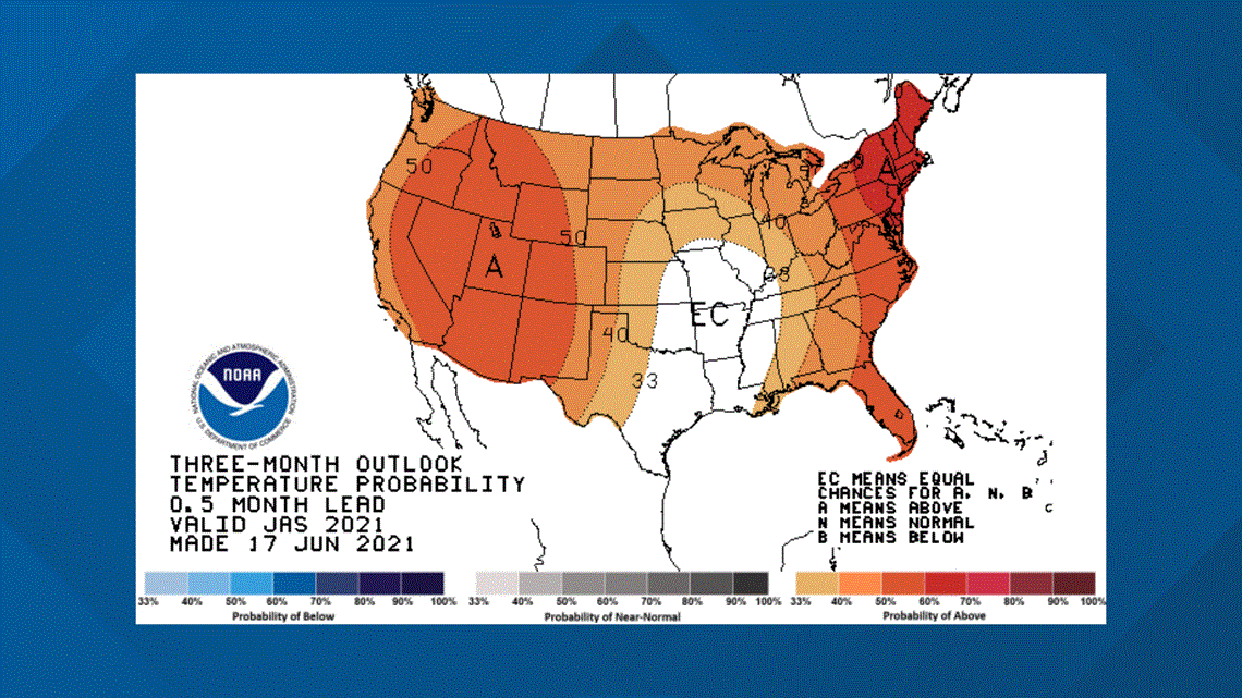
"The latest outlook for July, August and September hedges a bit on the warm side for much of the Pacific Northwest," said McGinness.


