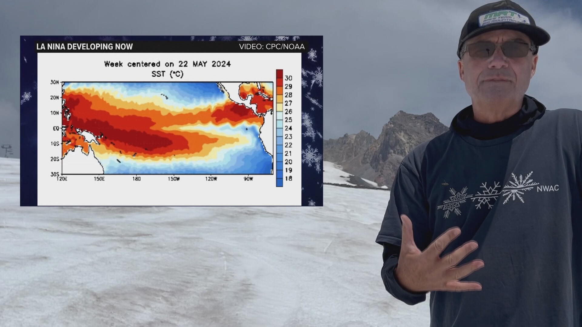
PORTLAND, Ore. — It's mid-August, which means everyone's thinking about skiing, naturally. Well, perhaps not everyone is thinking about skiing, but KGW Chief Meteorologist Matt Zaffino certainly is — particularly in terms of what the 2024-25 ski season is going to look like.
So, let's dig into the details about what we know with Zaffino's first "Powcast" (as in powder skiing) of the year.
First, we have a developing La Niña pattern in the tropical climes of the Pacific Ocean. For a refresher, La Niña describes a change in ocean temperatures across the equatorial Pacific, defined by cooler-than-average waters in the eastern Pacific and warmer-than-average waters in the western Pacific.
This development changes the position of the wintertime jet stream, and it's the opposite of El Niño. This past winter brought an El Niño pattern — typically marked by warmer temperatures and drier weather in the Pacific Northwest. Luckily, it was neither too warm nor too dry, and snowpack fared relatively well after December.
Before this past winter, the Northwest saw a multi-year La Niña. Zaffino looked at past winters with a similar set-up; fresh off an El Niño year, with a recent multi-year La Niña before that. The winters that best matched that criteria were:
- 1973-74
- 1988-89
- 2010-11
All of those winters produced solid, if not spectacular snowfall in the Pacific Northwest!
Zaffino dug into the snowfall records at Timberline, Mount Hood Meadows, and for daily snowfall, Government Camp. While you may be thinking, "There's not much skiing at Government Camp" — and you'd be right — there is a treasure trove of data to be found there. And if the skiing's good at Government Camp, it's great higher up at the ski areas.
Bottom line: 2024-25 should be an excellent ski season in the Northwest, with several days to ply the powder. In the meantime, enjoy the rest of summer.

