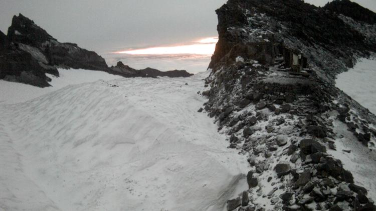
LOS ANGELES — Ski season is still at least several months away, but the unusually cold storm that frosted West Coast mountain peaks late last week brought a hint of winter in August.
The calendar briefly skipped ahead to November as the system dropped out of the Gulf of Alaska, down through the Pacific Northwest and into California.
Mount Rainier, southeast of Seattle, got a high-elevation dusting, as did central Oregon's Mt. Bachelor resort.
"We were excited to see flakes flying!" Mt. Bachelor communications manager Presley Quon said Monday in an email to The Associated Press. "A nice reminder that ski season is around the corner."
Mount Shasta, the Cascade Range volcano that rises to 14,163 feet (4,317 meters) above far northern California, wore a white blanket after the storm clouds passed.
The mountain's Helen Lake, which sits at 10,400 feet (3,170 meters) received about half a foot of snow (15.2 centimeters), and there were greater amounts at higher elevations, according to the U.S. Forest Service's Shasta Ranger Station.
In the Sierra Nevada, the Yosemite National Park high country received snowfall ranging from a quarter-inch to a half-inch (0.63-1.27 centimeters) on Saturday, said Carlos Molina, a meteorologist with the National Weather Service's Hanford, California, office.
The last August snowfall in that area occurred in 2003.
The storm was essentially a "one-off" because such systems normally move through the Pacific Northwest along the border with Canada toward the northern Rockies and then into the Great Lakes region, Molina said.
"This one had enough cold air associated with it that it was actually able to kind of fight the hot air that we have here in California, and it was able to push ... that heat dome away from us," he said.
In the Eastern Sierra, the Mammoth Mountain resort got a "good layer" of snow but not enough to report an official accumulation, said spokesperson Emily van Greuning.


