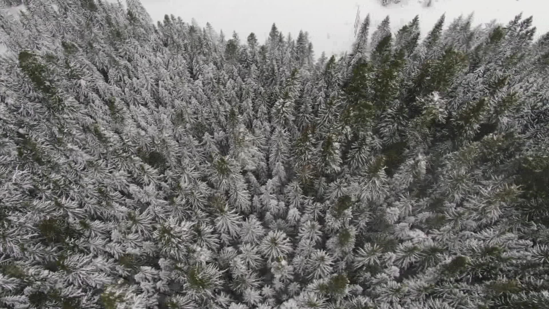
WASHINGTON, USA — Western Washington has not seen significant snowfall yet this year, impacting operations for some ski resorts in the area.
KING 5 Meteorologist Leah Pezzetti explained there are multiple reasons for the lack of snowfall.
Jet stream blocking potential weather
A ridge of high pressure has been set up over the region for the last couple of days and has blocked any winter-like weather from approaching.
Snowpack update
According to the Washington State Department of Transportation, snowpack levels for 2023 are significantly lower than average.
So far this year, Snoqualmie Pass has only seen 1 inch of snowfall compared to 39 inches in 2022. Similarly, there has only been 8 inches of snow reported at Stevens Pass, while last year, there was a total of 42 inches. And at Blewett Pass, 1 inch of snow has been recorded this year, compared to 18 inches last year.
More snow on the way
Another system will spread increasing rain back into western Washington Friday evening with mountain snow. This front will move through Puget by midmorning on Saturday, followed by off-and-on showers during the day.
Snow levels in the mountains should be between 2,000 and 3,000 feet Thursday into Saturday. Up to 2 feet of new snow is likely at the pass levels between now and Saturday night and as much as 3 feet is possible above 5,000 feet.
By later Saturday, a strong warm front begins to push in from the south and could push snow levels up to around 6-7,000 feet by Sunday, with rain for the highway passes and the ski areas to end the weekend. A strong front moves in on Monday and may stall over the state through most of Tuesday for periods of heavy rain and snow levels rising above 7,000 feet.

