PORTLAND, Ore. — A thunderstorm rolled through northeastern Oregon on Thursday, dumping intense hail on parts of Wallowa and Union counties. In some areas, the hail was large and heavy enough to cause property damage.
KGW Chief Meteorologist Matt Zaffino tracked the storm as it moved northeast, passing over La Grande and then the town of Wallowa. The presence of such intense hail actually caused the radar to misread precipitation totals — showing an improbably high two feet of rainfall per hour.
The skewed reading is the result of "hail contamination," Zaffino said; a phenomenon where the size of the hail intensifies reflection of radar signals, confusing the algorithms that calculate precipitation.
"We didn't get two feet of rain from the storm, but we certainly got big hail," Zaffino said.
Viewer Gaylene Royal sent photos of hail that fell in La Grande, with pieces roughly one inch in diameter.
Also in Union County, Roger Huffman took video of how intense the hail storm was, even when the pieces were smaller.
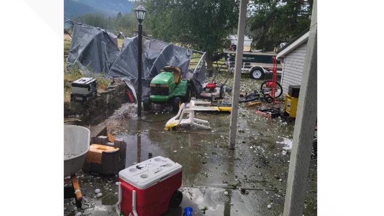
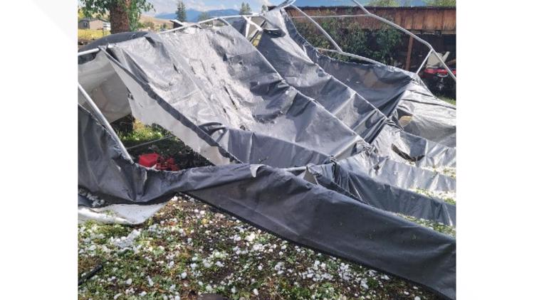
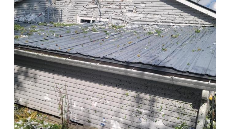
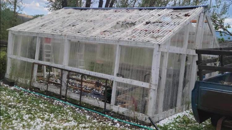
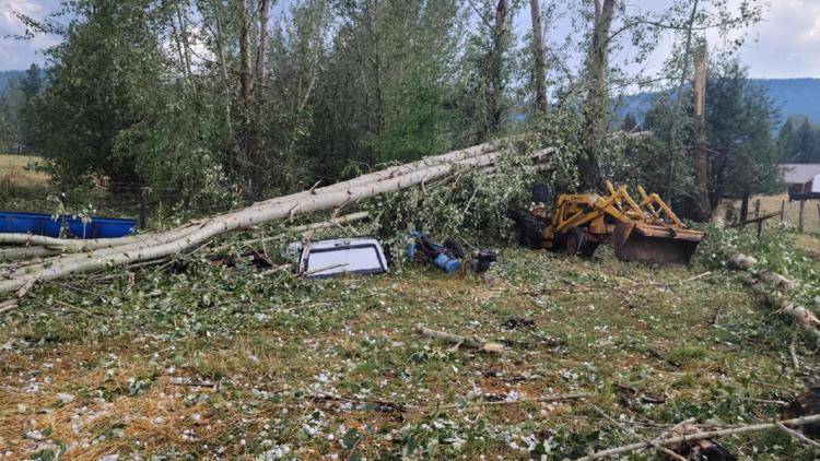
In the nearby town of Wallowa, Erica Lynn McNall took photos of her parents' property, where the hail caused significant damage. Hail tore up the siding of their house, downed trees, left their RV dented and broke through the sunroof of an SUV, littering the inside of the vehicle with water and torn-down tree limbs.
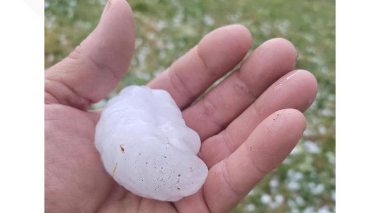
A hail stone she photographed looked larger even than the ones seen by Gaylene Royal, closer to the size of a golf ball. There were unconfirmed reports from the Wallowa area of hail stones the size of a baseball.
PHOTOS: Wallowa hail damage
Pacific Power reported about 900 households without power in the Wallowa area on Thursday evening in the wake of the storm. A few hours earlier, the outage numbered more than 5,300 customers.
The storm continued moving northeast and seemed to have dissipated somewhat as it moved out of Oregon.


