PORTLAND, Ore. —
Citizen scientists in Washington County will fan out across their communities this summer as part of a national study on urban heat islands, officials announced Tuesday.
The National Oceanic and Atmospheric Administration’s Urban Heat Island Mapping campaign, now in its seventh year, seeks to gather data on how temperatures differ between wealthy neighborhoods and their less-affluent counterparts.
NOAA Administrator Rick Spinrad said that, given the increasing frequency of dangerous heat waves as climate change drives temperatures up, documenting those differences is a crucial component of environmental justice.
“The burden of heat is not shared equally in our urban areas,” Spinrad said in a statement. “Gathering this type of environmental intelligence helps communities measure their hottest places so they can develop strategies to reduce the dangerous effects of heat.”
The Pacific Northwest is no stranger to dangerous heat. In June of 2021, what has come to be known as the “heat dome” brought record temperatures all over the region. Portland reached as high as 116 degrees, according to official measurements from the National Weather Service.
At least 72 people died due to heat-related illness over the course of the heat dome, many of them living in manufactured homes or in places without air conditioning. Nationwide, heat is the number one cause of weather-related deaths.
Studies have found that some parts of the city were likely much hotter because of the urban heat island effect.
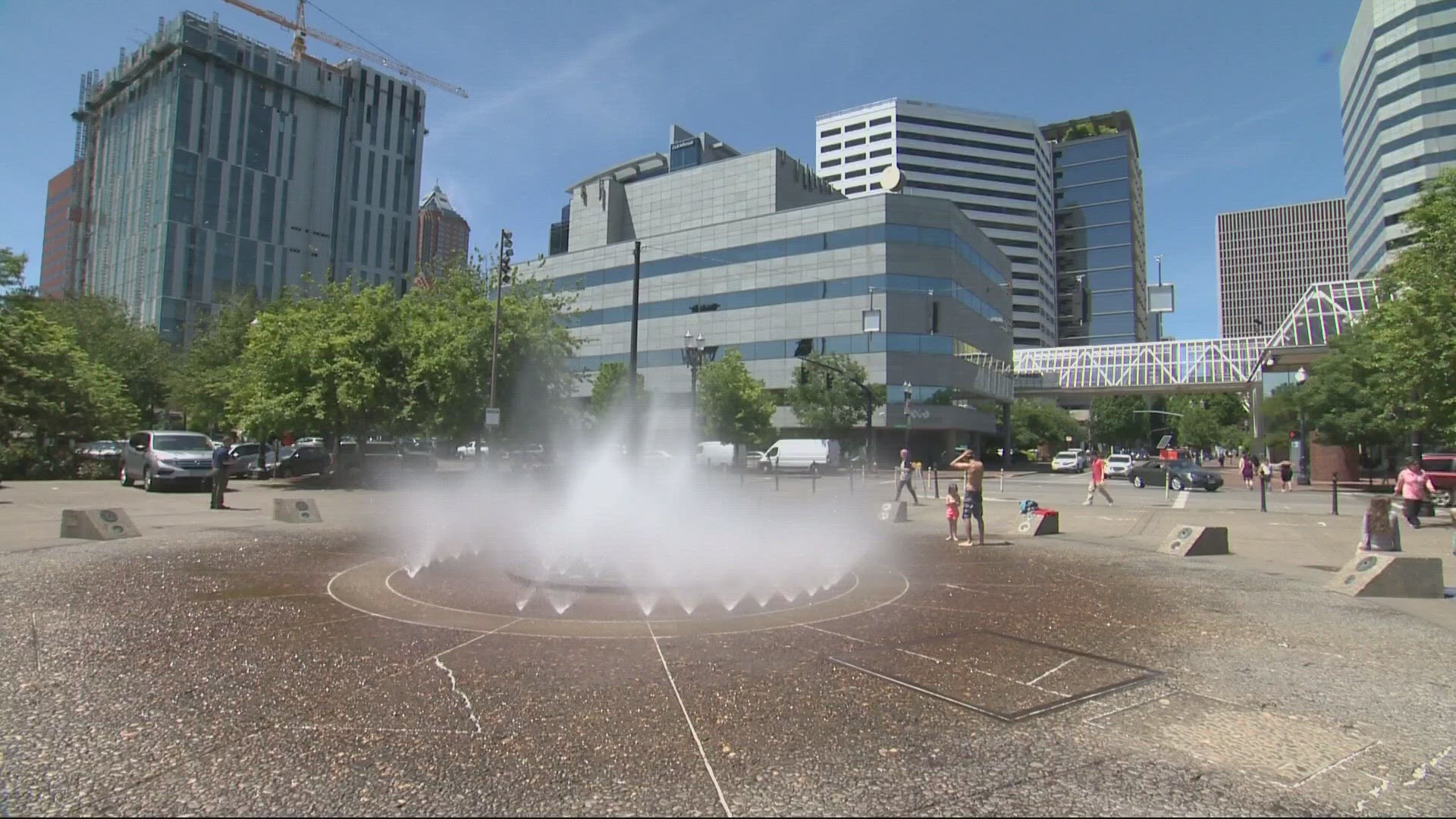
Areas with lots of trees, often affluent neighborhoods, benefit from the cooling provided by the canopy. Conversely, neighborhoods with lots of large buildings and concrete, often home to people of color and low-income residents, see an outsized heating effect as the hard surfaces absorb more of the sun’s radiation and reflect it back into the air.
But to counteract the heat island effect, first you have to know where the heat islands are.
Morgan Zabow, Community Heat and Health Information Coordinator with NOAA, said that the study will rely on “citizen scientists.”
Volunteers will be provided with special sensors that can be attached to a car or bicycle. Officials will pick one of the hottest days of the year, in the 90th percentile of temperatures, and the volunteers will record heat and humidity data at three different times during the day.
“This data is then synthesized, and it produces a report,” Zabow said. “With this report, we're really able to see which neighborhoods in these communities are hotter than others.”
The program is now in its seventh year, Zabow said, and other communities have used the data to determine which areas need more trees, how to use asphalt that absorbs less heat and to implement educational programs for children about how to avoid heat-related illnesses and deaths.
The exact date of the study will be determined by the weather, but Zabow encouraged anyone who wants to get involved to contact Kathleen Johnson with the Washington County Department of Health and Human Services at kathleen_johnson@washingtoncountyor.gov for more information.
“We encourage as many people from the community who are interested in volunteering to do so,” Zabow said. “Not only is it a great way to be invested in the science, but you're also really learning about how heat is impacting your community.”

