PACIFIC CITY, Ore. — Scott Burns, professor emeritus in geology at Portland State University, thought he had seen it all — until he saw a couple of photos of an extremely rare sand formation on the Oregon coast.
"I've never seen it anywhere ... in the text books, in this region," he said. "I mean, I've read many, many, many, many books."
His colleagues in PSU's Geology Department hadn't seen it before either.
The photos were captured at Cape Kiwanda by Portland attorney and musician Pilar French, who shared them with the editor of the Oregon Coast Beach Connection. That's how they came to Burns' attention.
One of Burns' specialties is in geological landforms, or geomorphology.
"This was a landform that he had never seen before," Burns said. "He got in touch with me, he said 'What's happening here?' I said, 'Holy moly! That is an incredible landform — we've never seen it before.'"
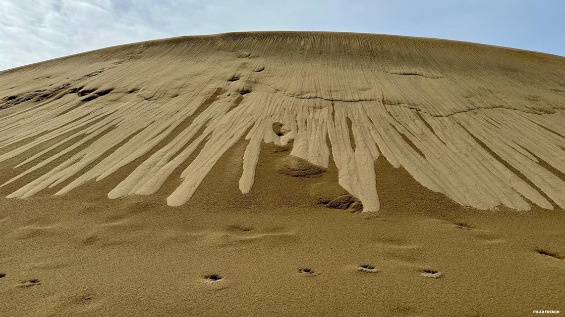
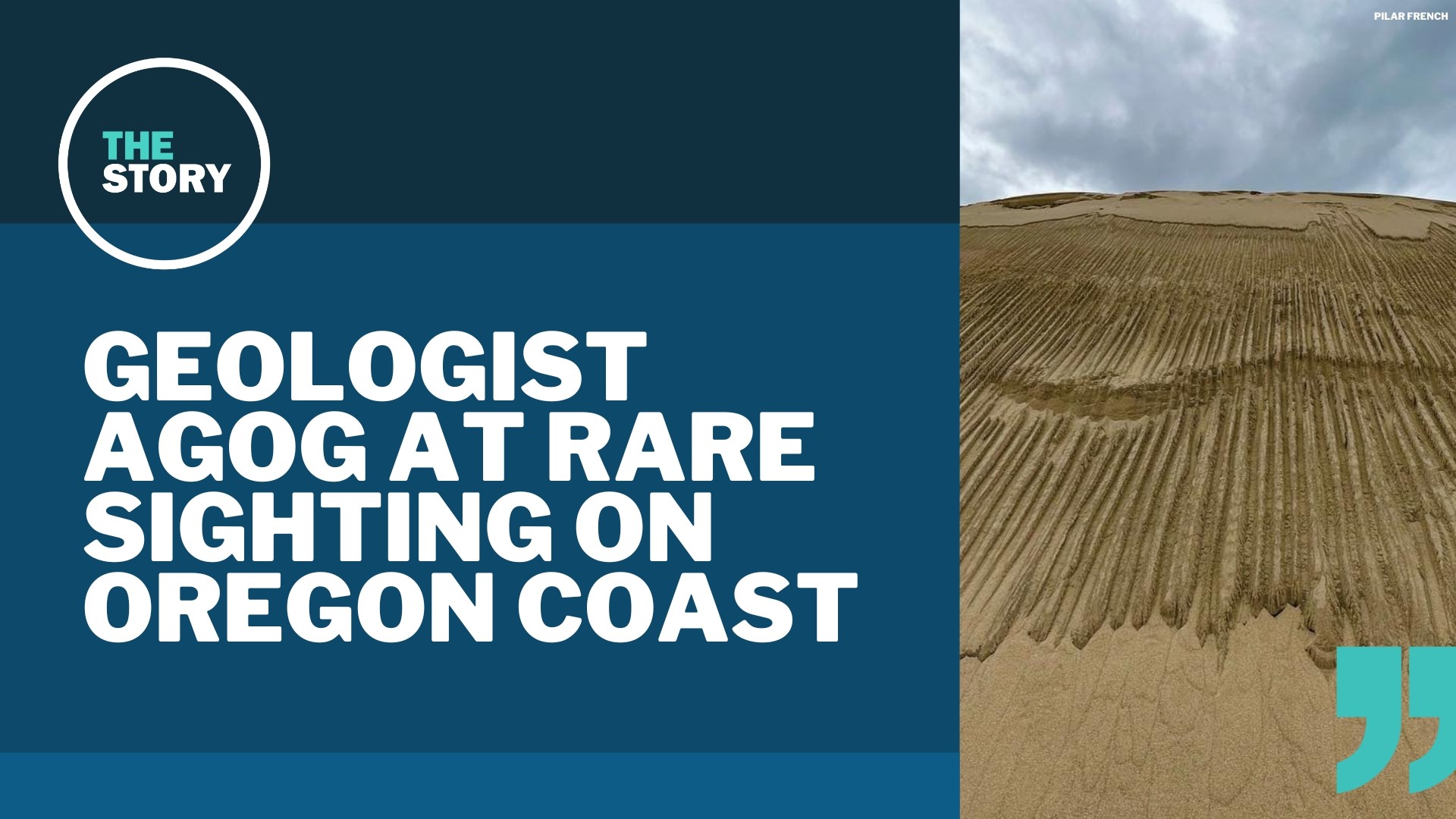
In French's photo and videos, it looks as if someone had dragged a giant rake down the face of a dune to form long, straight grooves. But it wasn't done by humans — or aliens, Burns confirmed, as some may have speculated.
The technical term for this naturally-occurring feature is a "linear earth flow," Burns said. Earth flows are common enough and well-documented, describing the movement of sediment down a slope, but they're rarely this neat and picturesque.
The Cape Kiwanda dunes date back 5,000 years — back to when sea levels rose after the last glacial period. Geologists have catalogued the black lines that streak the dunes, like rings on a tree, revealing all the eras of buried soils within and hearkening back to a time when the area was covered in pine trees.
"And then a fire would come through and burn it all down," Burns said. "After the fire everything would become mobile and then it would be stabilized with a new set of vegetation and everything, and that would form a buried soil."
The fire, vegetation and buried soil cycle would repeat every couple hundred years, Burns said, until eventually coastal erosion turned the sandstone substrate into dunes which replaced the old pine forest in just this area.
But the linear earth flows that French captured aren't directly related to the dunes' ancient history — instead, Burns said, they're mostly the product of recent rains.
Normally when it rains on parabolic dunes like these, the water seeps through the sand relatively evenly, maintaining the smooth edges of the dunes. Why not this time? Burns has a hypothesis.
"I think recently we have had a lot of very dry periods before the wintertime, and into the sand you've got a lot of silt, dust, blowing," Burns said. "And the dust and the silt is filling in the pores in there, so kind of clogging it."
As a result, Burns theorized, the rainwater remained near the surface of the dune — saturating the earth near the top and causing sand to flow down the steep slope in these long, straight rivulets. In French's videos, it's possible to see the sand sifting down the trenches as if moving through the neck of an hourglass.
And this isn't the first time something like this has happened here, Burns said. There are indications near the bottom of the dunes of older linear earth flows that have largely eroded away. These most recent landforms are just the ones that someone happened to notice.
This landform won't last long, either. It's made of sand, after all, and will quickly be wiped away by wind, rain and human activity. In fact, French returned to photograph the dune again a week later. While still striking, the linear earth flows are unmistakably being erased.


The landform is by its very nature ephemeral, Burns said. But that's part of what makes it so special.
"I think mother nature has created something that was very beautiful," Burns said. "You never see these earth flows very narrow and long like this — they just don't do that."
And no, Burns said, there isn't any direct relationship between the linear earth flows and the great big Cape Kiwanda sinkhole.

