
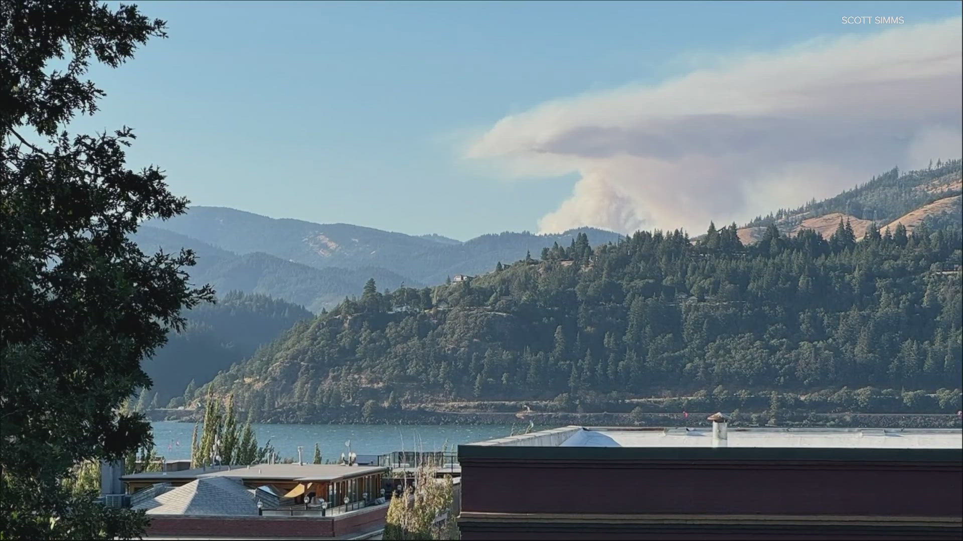
WASHINGTON, USA — Crews from U.S. Forest Service alongside other first responders responded Monday to reports of a wildfire sparked by a lightning storm on the Williams Mine trail at the Gifford Pinchot National Forest. The fire grew overnight Tuesday, moving south, and is around 3,000 acres as of Wednesday afternoon.
The fire, fueled by dry conditions, triggered evacuation warnings for Trout Lake and the surrounding area; Level 3 "Go Now" evacuations were issued for north and east of Trout Lake, while Level 2 "Get Ready" notices were set for west and south of Trout Lake.
A Red Cross Cascades Region shelter is open in White Salmon, according to Skamania County Emergency Management.
The Mt. Adams Wilderness and areas surrounding the fire remain closed, and access is restricted to the Pacific Crest Trail between Williams Mine and Potato Hill. Multiple roads are also closed.
Meanwhile, local resources are working on the fire, which is "burning on steep ground in heavy timber," according to the U.S Forest Service. Winds are predicted to be light.

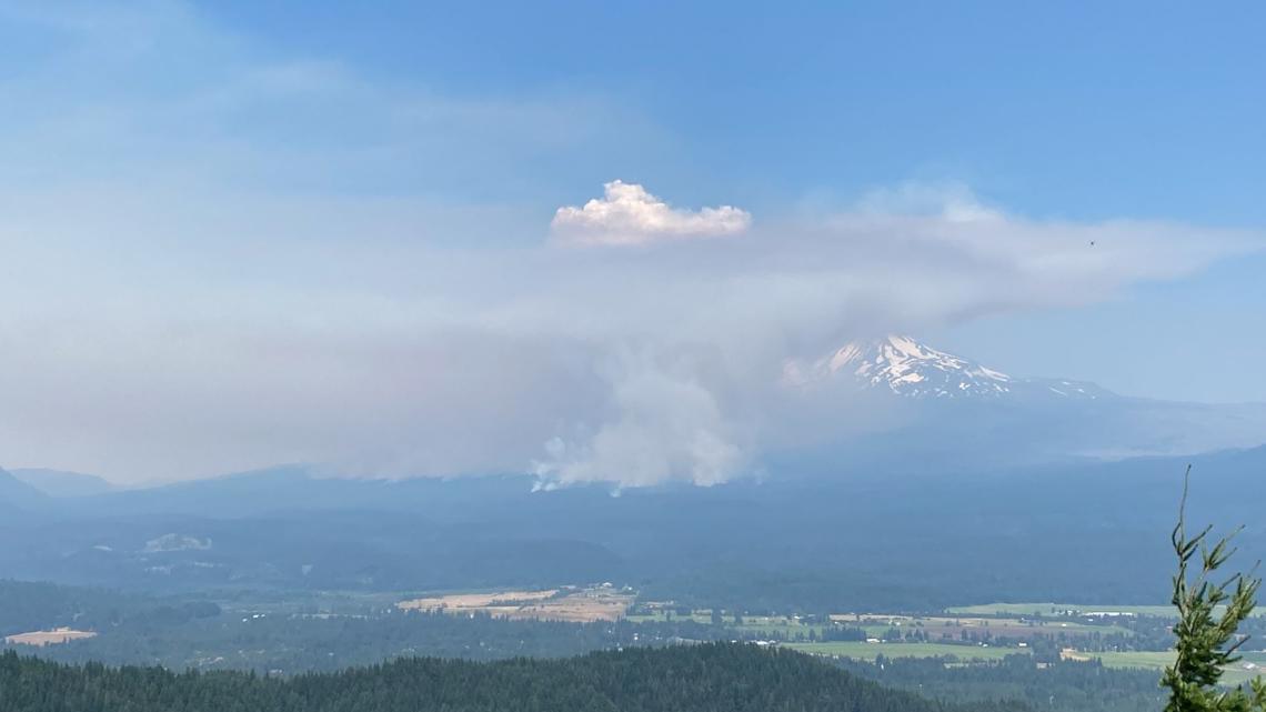
As of Aug. 6, fire crews and aircraft were still at the Gifford Pinchot National Forest, working to put out the flames, last estimated at 2,000 acres. The fire was detected Monday evening in the Mount Adams Wilderness after a lightning storm passed over the area, according to the U.S. Forest Service.
The Williams Mine Fire is being handled as a "full suppression" fire, officials said, with an ongoing and aggressive initial attack response. Smoke was highly visible from Trout Lake and surrounding communities.
Officials emphasized that the safety of fire crews and the public are the highest priority. Building, maintaining, attending or using a fire, campfire or charcoal fire is not allowed outside of designated developed campgrounds.
To learn more on the fire or to stay updated regarding wildfire activity at the Gifford Pinchot National Forest, click the link here.
For updated evacuation information, visit the emergency management pages for Klickitat County and Skamania County
Here's what evacuation levels mean
Level 1 Notice - Be Ready: Residents should be aware of the danger that exists in their area and monitor local media outlets for information. Residents with special needs should take note and begin making arrangements to evacuate. Evacuations at this time are voluntary.
Level 2 Notice - Be Set: This level indicates there is significant danger to your area, and residents should either voluntarily relocate to a shelter or outside of the affected area, or if choosing to remain, to be ready at a moment's notice. Emergency services cannot guarantee that they will be able to notify you if conditions rapidly deteriorate.
Level 3 Notice - Go Now: Danger to your area is current or imminent, and you should leave immediately. Listen to local media and watch for emergency personnel who may be coming by to give further instructions regarding the evacuation.