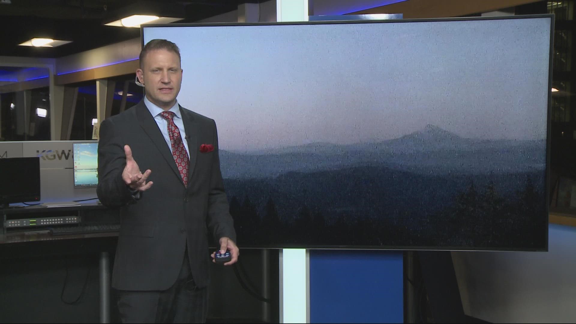
PORTLAND, Ore. — With the Nakia Creek Fire burning in Southwest Washington, people in the Portland metro area woke up to foggy and hazy skies Tuesday, with unhealthy air quality across the Portland and Vancouver metro area.
A look at the interactive Air Quality Index (AQI) map from the Oregon Department of Environmental Quality (DEQ) at around noon Tuesday showed an unhealthy rating in North Portland extending along the I-5 corridor down into the Tualatin area. Vancouver and East Portland showed air quality that rated as unhealthy for sensitive groups.
The Nakia Creek Fire continues to burn about nine miles northeast of Camas in Clark County in Southwest Washington. It surged from about 150 acres to more than 1,500 acres on Sunday. As of Tuesday morning, it had grown to around 1,800 acres and was about 5% contained. The Clark County Sheriff's Office has ordered evacuations. Residents can search for their address to see if they're in an evacuation zone and can sign up for emergency management alerts.
As wildfires burn in Oregon and Washington, the Pacific Northwest is experiencing the worst air quality in the country, according to KGW Meteorologist Joe Raineri. Conditions are expected to improve over the next couple of days, but people should avoid spending too much time outside until the air quality improves.
How to check the air quality in your area
The DEQ and partner agencies monitor smoke levels and provide reports on how clean the air is and any potential health risks.
People who want to know what the air quality in their neighborhood looks like can visit the Air Quality Index (AQI) interactive map on the DEQ website. The AQI map uses a color-coded system ranging from "Good" (labeled by green dots), which means air pollution posts little to no risk, to "Hazardous" (labeled by maroon dots), meaning air quality is unhealthy for everyone.
The Environmental Protection Agency also has an online tool where people can type in their zip code, city or state to view the air quality index.
How to protect yourself from smoke
Smoke can irritate the eyes and lungs. People most at risk include infants, young kids, older adults and people with certain medical conditions such as heart or lung disease.
The DEQ recommends people take precautions when smoke levels are high:
- Stay indoors and keep windows and doors closed
- Avoid outdoor activities
- Use high-efficiency particulate air (HEPA) filters in indoor ventilation systems or portable air purifiers
The DEQ notes that cloth, dust and surgical masks don't protect people from harmful particles in smoke. A particulate respirator marked with the word "NIOSH" can help prevent smoke exposure.

