PORTLAND, Ore. — Wildfires continue to burn throughout Oregon including a few in the Portland metro and surrounding areas. Two huge fires, the Beachie Creek Fire in Marion County and the Riverside Fire in Clackamas County, have burned hundreds of thousands of acres and forced people to evacuate their homes.
Oregon Gov. Kate Brown said more than 40,000 Oregonians evacuated their communities and an estimated 500,000 people statewide were under some level of evacuation orders because of wildfires. Some of those people have since been allowed to return to their homes.
EVACUATION MAPS: These Oregon areas are under evacuation right now
Air quality throughout the state was poor for more than a week due to smoke from all the fires, though it has since improved.
RELATED: Check your air quality right now
Below is a breakdown on some of the wildfires burning in Oregon, including acreage, containment and evacuation maps.
INTERACTIVE MAP: Fires burning in Oregon and Washington
Oregon (statewide)
Information provided by the Oregon Office of Emergency Management, as of Monday, Oct. 12.
- Deaths: 9
- Missing persons: 1
- Sheltered persons: 2,031
- Acres burned: About 1.2 million
- Residences destroyed: 3,992
- Other structures destroyed: More than 1,400
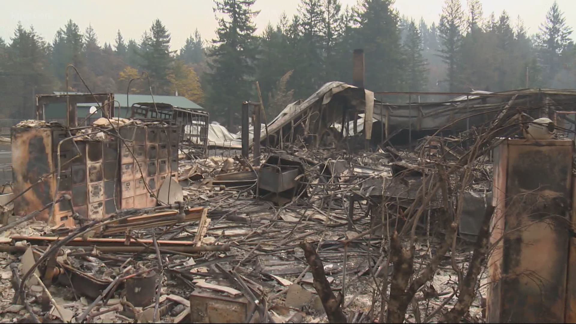
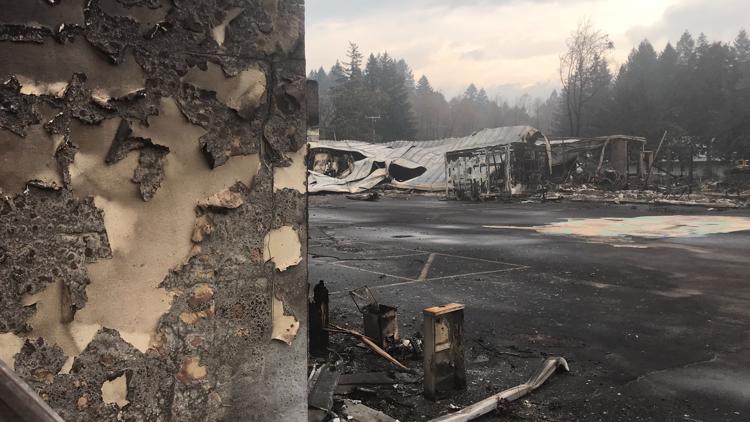
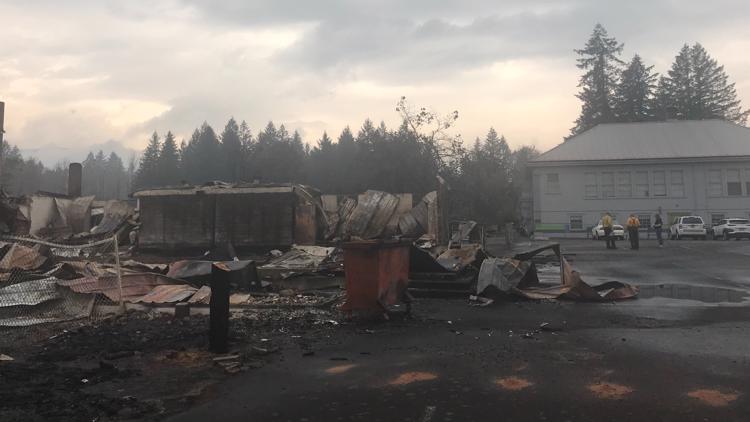
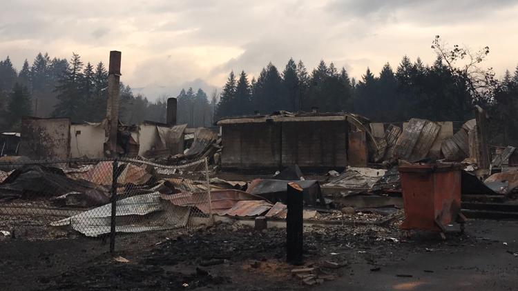
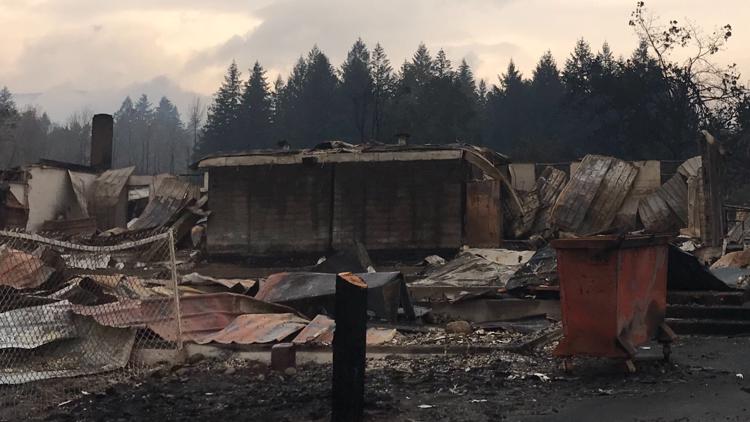
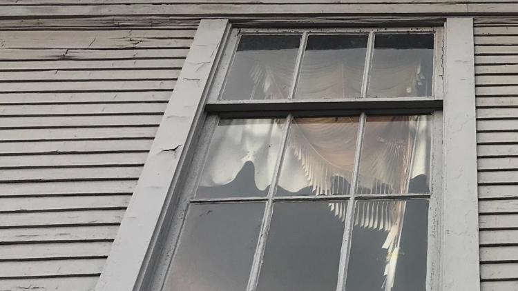
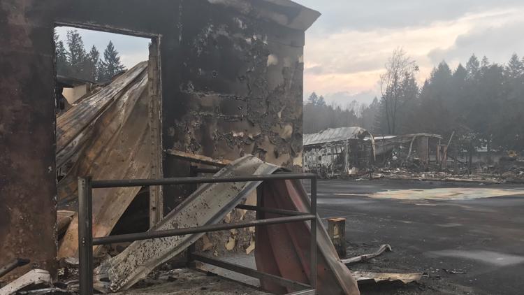
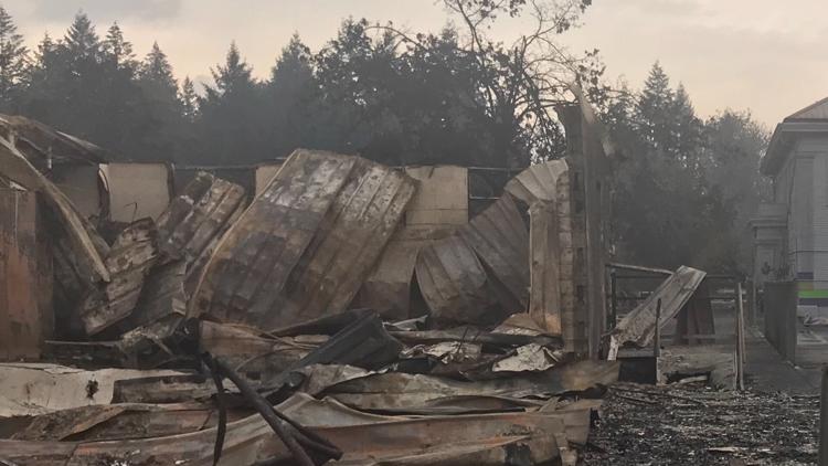
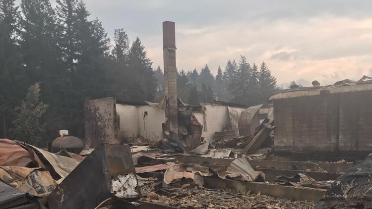
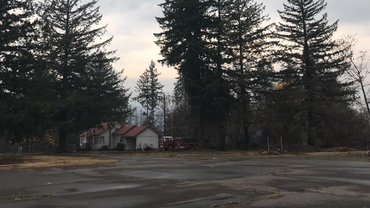
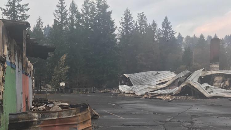
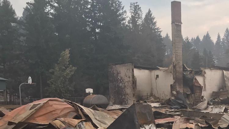
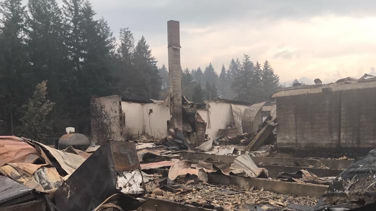
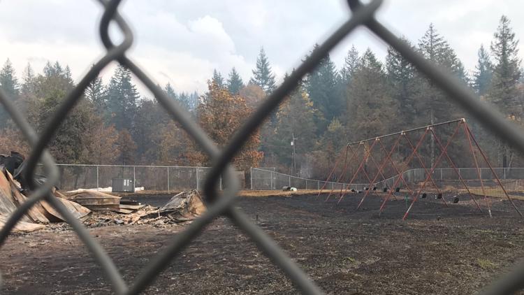
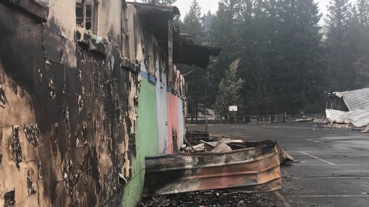
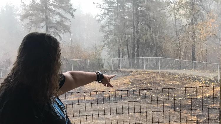
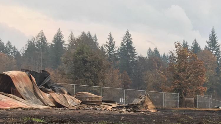
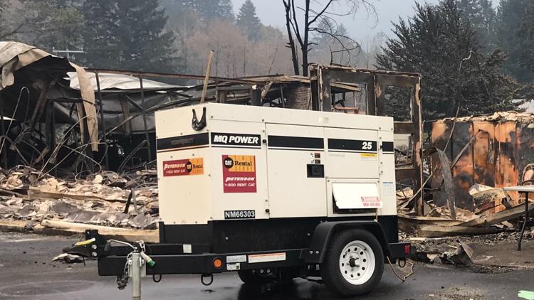
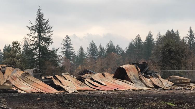
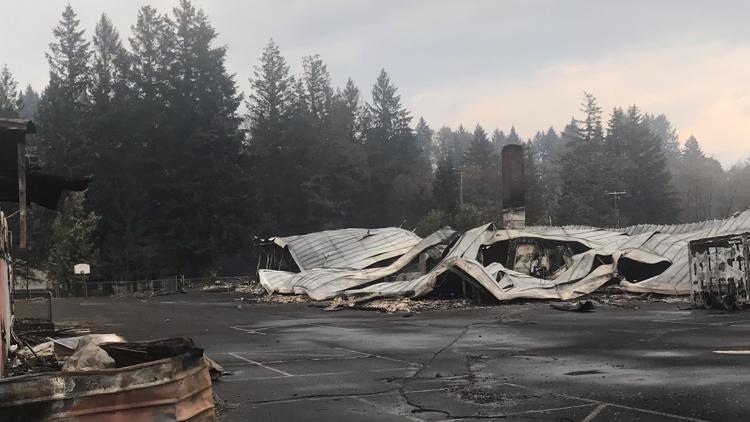
Images depict wildfire destruction in Gates, Oregon
Clackamas County
- Acres: 138,054
- Containment: 72%
- Start date: Sept. 8
- Cause: Human-caused
- Location: Half-mile southeast of Estacada
- Evacuations: Click here for map
Marion County
- Acres: 193,573
- Containment: 80%
- Start date: Aug. 16
- Cause: Under investigation
- Location: Santiam Canyon, west of Detroit
- Evacuations: Click here for map
- Acres: 204,469
- Containment: 46%
- Start date: Aug. 16
- Cause: Lightning
- Location: Between Detroit and Warm Springs
- Evacuations: Click here for state map. Evacuation updates on the Warm Springs Reservation can be found on the Warm Springs police Facebook page.
Washington County
Chehalem Mountain-Bald Peak Fire
- Acres: 875
- Containment: 100%
- Cause: Human-caused
- Location: North of Newberg
- Evacuations: Click here for map
RELATED: Chehalem Mountain-Bald Peak Fire in Washington County caused by campfire on private property
Lane County
- Acres: 173,393
- Containment: 96%
- Start date: Sept. 7
- Cause: Unknown
- Location: East of Eugene
- Evacuations: Click here for map
Lincoln County
- Acres: 2,552
- Containment: 100%
- Start date: Sept. 7
- Cause: Unknown
- Location: 4 miles east of Lincoln City
- Evacuations: Click here for latest info
Southern Oregon
Almeda Drive Fire
- Acres: 5,716
- Containment: 100%
- Evacuations: Click here for map
- Acres: 32,671
- Containment: 96%
- Start date: Sept. 8
- Cause: Unknown
- Location: 5 miles east of Eagle Point
- Evacuations: Click here for map
- Acres: 131,542
- Containment: 95%
- Start date: Sept. 8
- Cause: Unknown
- Location: Northeast of Glide
- Evacuations: Click here for map
Southwest Washington
- Acres: 24,995
- Containment: 40%
- Start date: Sept. 8
- Cause: Unknown
- Location: 7 miles southeast of Cougar
- Evacuations: Click here for map

