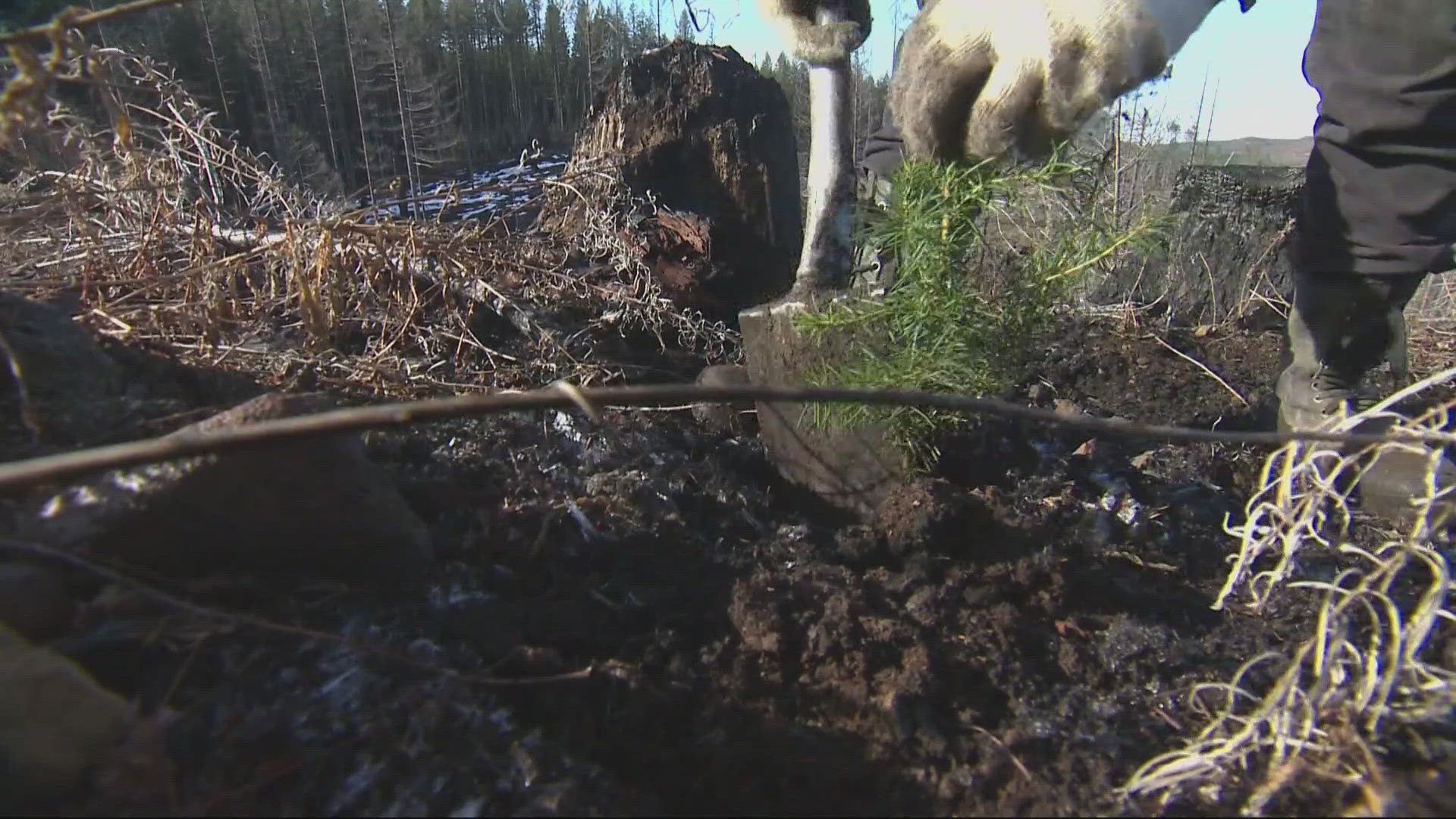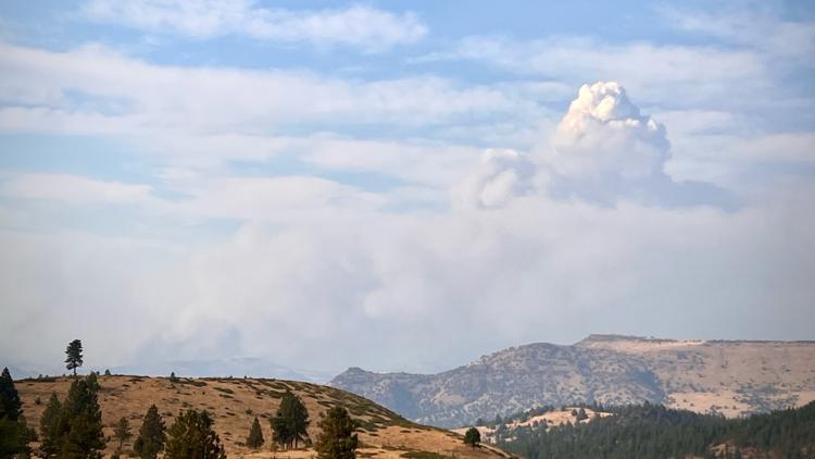
PORTLAND, Ore. — Wildfires have burned more than 1 million acres across the state, making Oregon by far the worst off out of all the states in terms of acres burned this summer.
Gov. Tina Kotek issued an emergency declaration on July 12, which allows the Oregon fire agencies to get out-of-state support. She has also issued emergency conflagration declarations for several fires, allowing for more resources to be mobilized.
READ MORE: Crews fighting over 20 large fires in Oregon
The details of all major wildfires currently burning in Oregon are listed below, and the details will be continually updated. No fire that is more than 90% contained will be listed unless evacuation orders are in effect. Information about fire acreage and containment percentages is approximate.
The figures below are up to date as of Sept. 21, 2024, unless otherwise noted.
Fossil Complex (Service Fire)
- Location: About 10 miles east of Fossil, 5 miles northeast of Monument
- Acreage: 24,446, as of Sept. 18
- Cause: Lightning
- Began: Sept. 3
- Containment: 47%
- Closures: State Route 19 is closed between Fossil and Service Creek.
- Evacuations: None
- More info: Visit Wheeler County Sheriff's Office for more evacuation information.
Rail Ridge Fire
- Location: Grant and Crook counties
- Acreage: 162,345 acres
- Cause: Lightning
- Began: Sept. 4
- Containment: 50%
- Closures: Unknown
- Evacuations: None.
- More info: Visit Crook County Sheriff's Office or Inciweb for updates.
Whisky Creek Fire and Sandstone Fire
- Location: Mount Hood National Forest
- Acreage: 3,169 acres (Whisky Creek Fire); 702 acres (Sandstone Fire)
- Cause: Human-caused (Whisky Creek Fire); Lightning (Sandstone Fire)
- Began: July 20, Aug. 5
- Containment: 25% for Whisky Creek, 75% for Sandstone Fire
- Closures: Mt. Hood National Forest, the Columbia River Gorge National Scenic Area and Hood River County have issued closures.
- Evacuations: None
- More info: Visit Inciweb for the Whiskey Creek Fire, as well as the Sandstone Fire.
Homestead Complex (7 fires)
- Location: Douglas County, in the Umpqua National Forest northeast of Glide
- Acreage: 9,758 acres (7 fires combined)
- Cause: Lightning
- Began: July 16
- Containment: 33% (level varies from fire to fire)
- Closures: The Umpqua National Forest and the Bureau of Land Management have issued closures.
- Evacuations: None
- More info: Visit the Douglas County Sheriff's Office Facebook page or the Homestead Complex's entry on Inciweb.
South Willamette Complex
- Location: Lane County, about halfway between Eugene and Bend (near Homestead Complex and Ore Fire)
- Acreage: 23,351 acres (7 fires combined)
- Cause: Lightning
- Began: July 17
- Containment: Level varies widely from fire to fire
- Closures: The Willamette National Forest is closed around the fire.
- Evacuations: None
- More info: Visit the South Willamette Complex entry on Inciweb.
North Willamette Complex
- Location: Lane County, about halfway between Eugene and Bend
- Acreage: 6,676 acres (6 fires combined)
- Cause: Human-caused, lightning-caused
- Began: July 16
- Containment: Level varies widely from fire to fire
- Closures: The Willamette National Forest is closed around the fires. Check here for further details Sections of OR 242 and OR 126 are currently closed
- Evacuations: Level 1 evacuations in place near McKenzie Highway
- More info: Visit the North Willamette Complex Facebook page or entry on Inciweb.
Red Fire
- Location: Deschutes National Forest northwest of Crescent Lake
- Acreage: 1,763 acres
- Cause: Lightning
- Began: July 17
- Containment: 11%
- Closures: The Deschutes National Forest is closed around Crescent Lake and in the Diamond Peak Wilderness, see the closure order for details.
- Evacuations: Level 1 evacuation notice remained in place for Crescent Lake, Odell Lake and Crescent Junction areas as of Sept. 9
- More info: Visit the Red Fire entry on Inciweb.
Diamond Complex and Middle Fork Fire (30 fires)
- Location: Umpqua National Forest and Crater Lake National Park
- Acreage: 11,141 total acres for Diamond Complex; 5,286 acres for Middle Fork Fire
- Cause: Lightning
- Began: Various dates
- Containment: 90% for Diamond Complex; 70% for Middle Fork Fire
- Closures: Closures are in place on the Umpqua National Forest, Rogue River-Siskiyou National Forest and some trails around Crater Lake National Park
- Evacuations: None
- More info: Visit the Diamond Complex entry on Inciweb.
Here's what evacuation levels mean
Level 1 Notice - Be Ready: Residents should be aware of the danger that exists in their area and monitor local media outlets for information. Residents with special needs should take note and begin making arrangements to evacuate. Evacuations at this time are voluntary.
Level 2 Notice - Be Set: This level indicates there is significant danger to your area, and residents should either voluntarily relocate to a shelter or outside of the affected area, or if choosing to remain, to be ready at a moment's notice. Emergency services cannot guarantee that they will be able to notify you if conditions rapidly deteriorate.
Level 3 Notice - Go Now: Danger to your area is current or imminent, and you should leave immediately. Listen to local media and watch for emergency personnel who may be coming by to give further instructions regarding the evacuation.