CLACKAMAS COUNTY, Ore. — County officials reduced evacuation levels for some areas in Clackamas County on Monday.
Level 3 "go" evacuation orders were reduced to Level 2 "set" in the following areas:
- An area east of Oregon City encompassing some portions of the Redland, Beavercreek and Highland areas.
- An area south of the city of Sandy, encompassing some portions of the Eagle Creek, Firwood, and Wildcat Mountain areas.
Level 2 "set" evacuation orders were reduced to Level 1 "ready" in the following area:
- An area south of the cities of Oregon City and Canby, encompassing some portions of the Mulino and Monitor areas.
On Sunday, the town of Molalla was dropped to Level 2. A Level 3 evacuation order remained in place for Estacada and other areas in and around the fire.
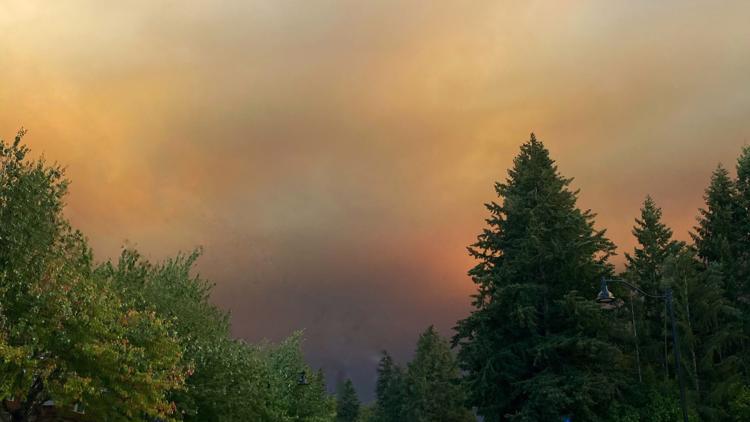
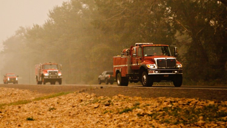
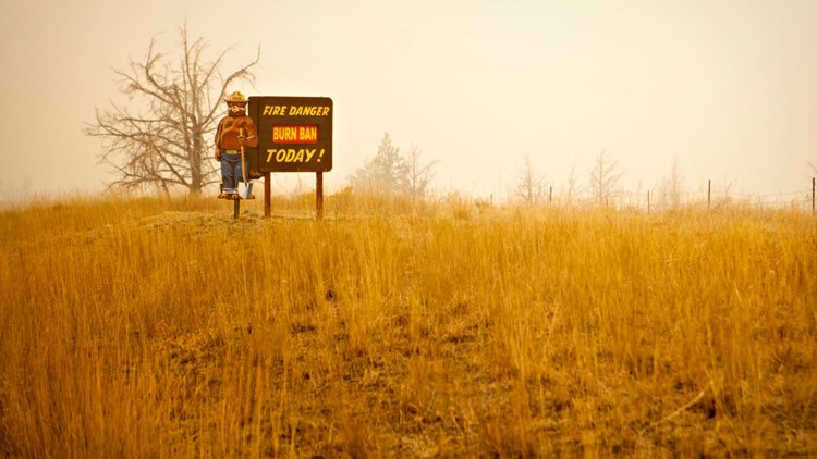
The Riverside Fire had burned more than 134,000 acres and was 0% contained as of Monday morning. Improving weather patterns and newly arrived backup from state and federal agencies allowed firefighters in Clackamas County to pivot from defense mode to offense against the Riverside Fire over the weekend.
The Beachie Creek Fire in Marion County and Riverside Fire remained about one mile apart, officials said Monday. The Beachie Creek Fire had burned more than 188,000 acres as of Monday morning, according to InciWeb.
On Sunday, officials said a merger of the two fires was not imminent.
"The current combination of winds, record dry forests, and a lack of natural holding features in the Table Rock Wilderness and surrounding areas mean it is still possible the fires could burn together in the coming days. Based on current weather, it is anticipated that a future merger would not result in dynamic fire behavior as seen in the last week," officials said.
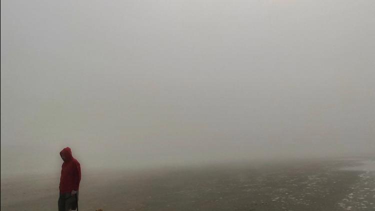
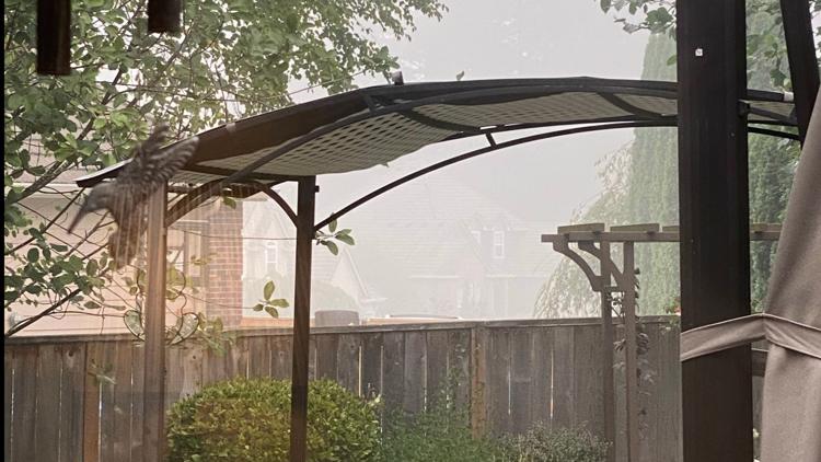
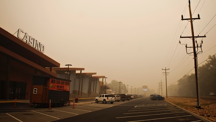
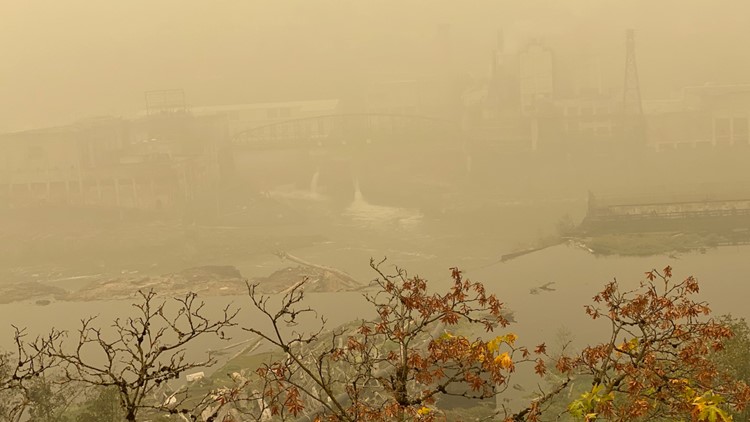
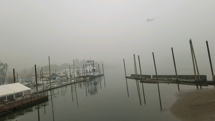
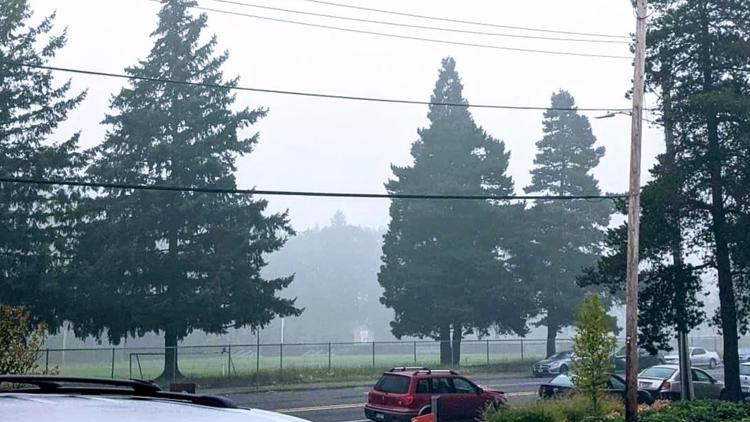
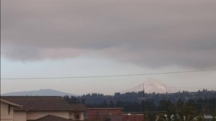
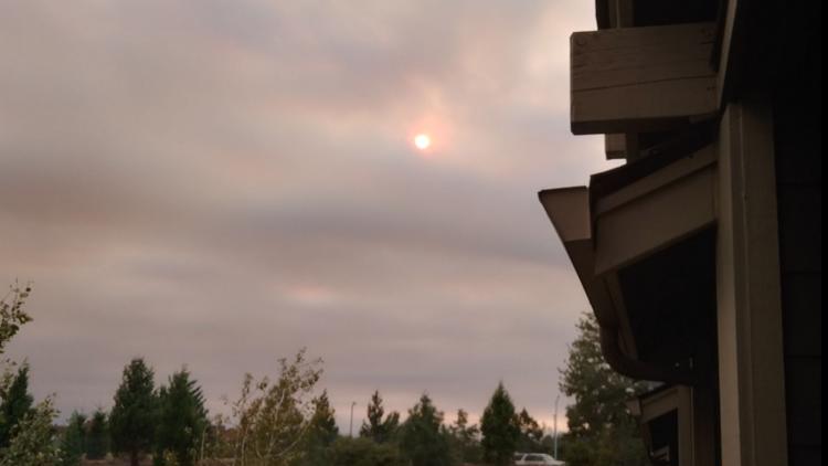
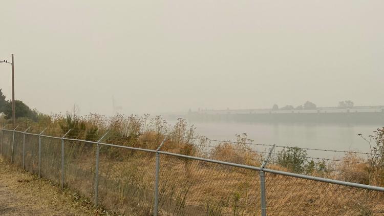
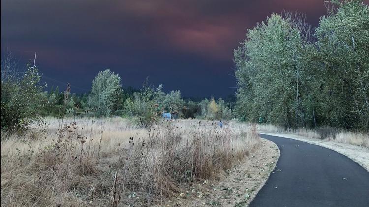
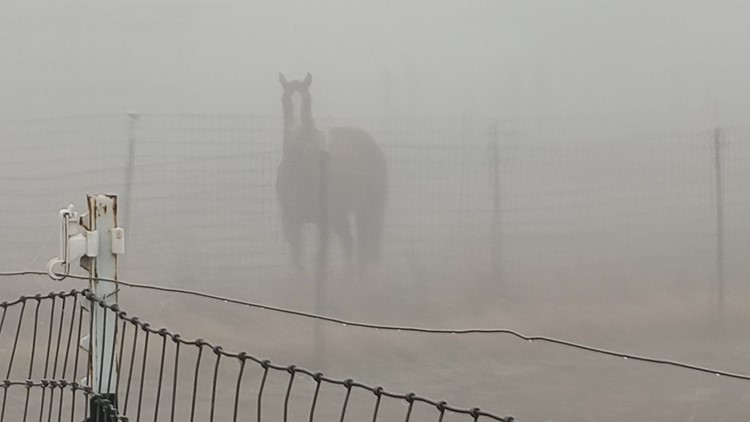
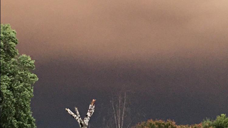
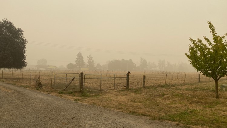
Sarah Present, public health officer of Clackamas County, said the region currently had the worst air quality in the world.
"The air is not just unhealthy, it’s in the hazardous range," Present said. "Everyone can have health effects from this smoke and it’s especially dangerous for our most vulnerable populations."
Those most at risk included those with underlying lung and heart disease. The more vulnerable populations also included the elderly, pregnant women and children.
"The bottom line right now is please stay inside," Present said.
Nancy Bush, Clackamas County disaster management director, asked residents to limit water use because of some issues with pressure in some of the systems. Bush said they have been working with water providers and firefighters.
Interactive map: Evacuation orders in Clackamas County
County officials updated the list of evacuation check-in sites and provided a link that shows which sites are open, which are closed and which are full.
Interactive map: Wildfires burning throughout Oregon


