OREGON, USA — The Baker County Sheriff's Office has issued Level 3, 2 and 1 evacuations for areas near a fire that started Aug. 5. Containment is at 37%.
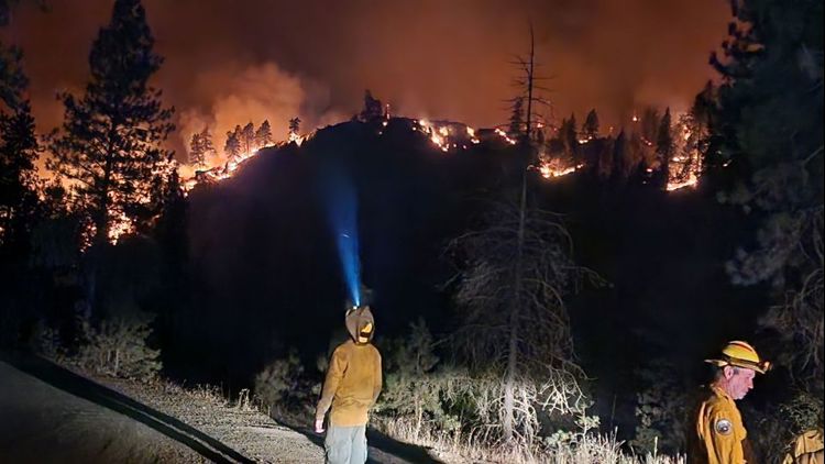
The fire, started by lightning, has burned 18,552 acres and has damaged or destroyed at least four structures, as of Aug. 11. The most active parts of the fire are on the north and northeastern side, with 222 personnel on the scene, including the Oregon State Fire Marshal (OSFM) Blue Incident Management Team.
According to the Baker County Sheriff's office, more Level 3 (Go Now) evacuation areas have been extended to the northern part of the fire, as well as the west by Forest Road 773; the north and eastern edge from the intersection of Forest Road 7737 and 77 to McBride Campground are also under Level 3 evacuation orders.
Level 2 (Be Set) evacuation orders include the north by Paddy Creek, then from the intersection of the Forest Road 7725 and 77 to the head waters of Fuller Creek.
Level 1 (Be Ready) evacuations are also in place homes west of Mitchell Road and Sparta Lane, south of Eagle Creek and Shanghai Creek, east of Sparta Butte Road, Gem Mine Road, and Thorn Gulch. The order also impacts areas between the fire edge on the North with the eastern and southern boundary being Sparta Lane to New Bridge, and west of Highway 86 and east of the Oregon Department of Forestry Boundary Line
Residents can also sign up for emergency alerts here.
The American Red Cross of Idaho and East Oregon has opened an evacuation shelter at the Lions Club of Halfway at 225 Lions Street in Halfway; companion animals are allowed. Large animals can be housed at Haines Rodeo grounds. Those seeking more evacuation and shelter information can call 800-853-2570.
Wallowa-Whitman National Forest lands, roads, trails and recreation sites around the fire are closed, with fire restrictions in effect. fire restrictions are in effect.
What do evacuation levels mean?
Level 1 Notice - Be Ready: Residents should be aware of the danger that exists in their area and monitor local media outlets for information. Residents with special needs should take note and begin making arrangements to evacuate. Evacuations at this time are voluntary.
Level 2 Notice - Be Set: This level indicates there is significant danger to your area, and residents should either voluntarily relocate to a shelter or outside of the affected area, or if choosing to remain, to be ready at a moment's notice. Emergency services cannot guarantee that they will be able to notify you if conditions rapidly deteriorate.
Level 3 Notice - Go Now: Danger to your area is current or imminent, and you should leave immediately. Listen to local media and watch for emergency personnel who may be coming by to give further instructions regarding the evacuation.