
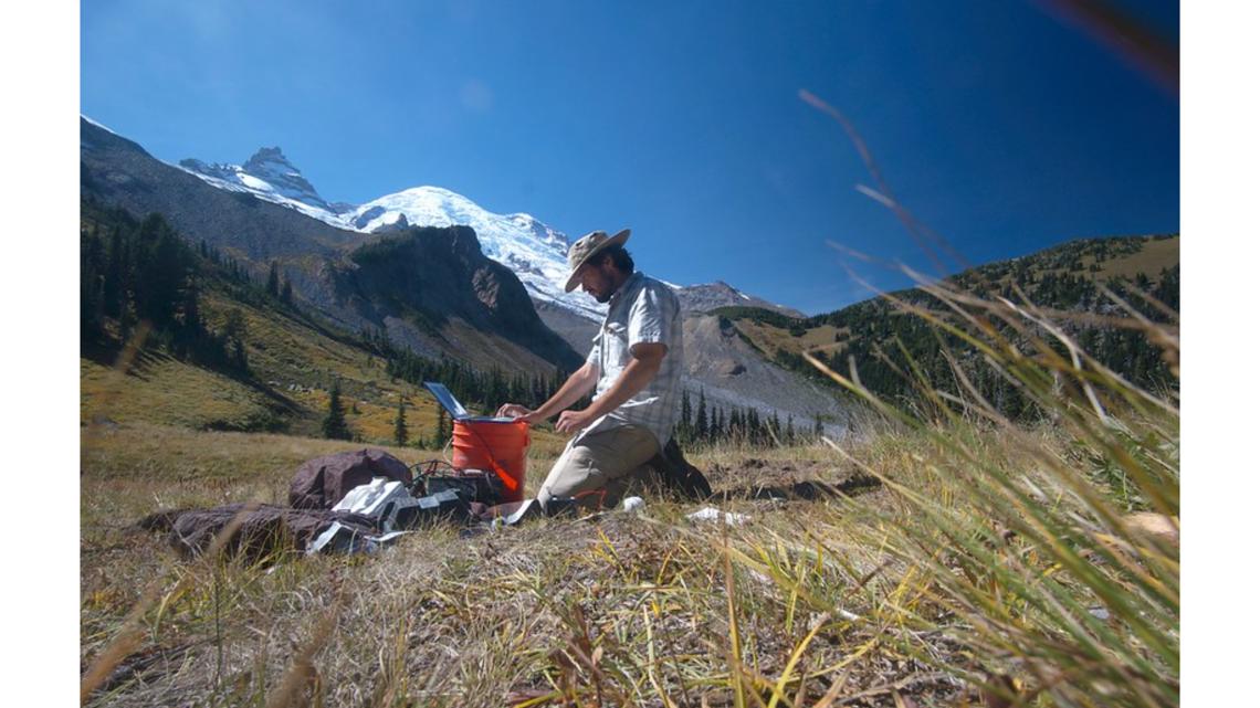
CORVALLIS, Ore. — Researchers at Oregon State University have completed a mammoth project to create a 3-D map of electromagnetic energy in the Earth's crust across the continental U.S. What began as an effort to better understand the planet may also have important lessons for energy infrastructure.
The OSU team placed measuring stations about every 40 miles throughout the lower 48 states, meant to gather data on the electromagnetic conduction of each area. Those measurements can provide insight into the internal conditions of the Earth's crust: the temperature, structure, and the presence or absence of fluids and minerals, among other data.
Professor Adam Schultz, the lead researcher on the project, said it started as an effort to better understand the Earth itself. However, it evolved into something much bigger.
"It became obvious that this has a big impact on our electric power grid, because the power transmission lines are grounded to the earth," Schultz explained. "And one thing that we're measuring is the impact of what's called 'space weather.' This is the stream of charged particles coming from the sun, right, that intersects the Earth's magnetic field. And this leads to electric currents and magnetic fields inside the earth.
"And so, we're able to measure those — but importantly, those currents also flow through the power transmission network. And the power lines ... and the transformers in the power system weren't designed for that originally. So that's a problem for the power utilities."

Schultz cited something called the "Carrington Event," the most intense solar storm ever recorded. It happened during the late 1850s.
"People didn't understand the science. Then, there's an enormous storm; you could see auroras down in Cuba, right down the tropics, and the telegraph stations all around the world started to spark," Schultz said. "People didn't know what was going on. But it was this effect."
These days, humans place much greater demands on power grids than the telegraph stations of old — but space weather hasn't let up.
"There's another space weather event that was as big as a Carrington Event in 2012, and the Earth just missed it," Schultz said. "You know, we're orbiting the sun; it's sent down a particular direction, and we just missed it, that hit. The implications were dire; the power grid would have had a large-scale failure. The recovery would have taken probably years, so that got everyone's attention at the highest levels of government, and it led ultimately to us completing the geoelectric mapping of the whole continent to provide that information the power utilities need."
Schultz said the map will also allow scientists to learn more about the conditions in the Earth's crust around the Cascadia Subduction Zone, where the Pacific Northwest's "Big One" is expected to come from.