
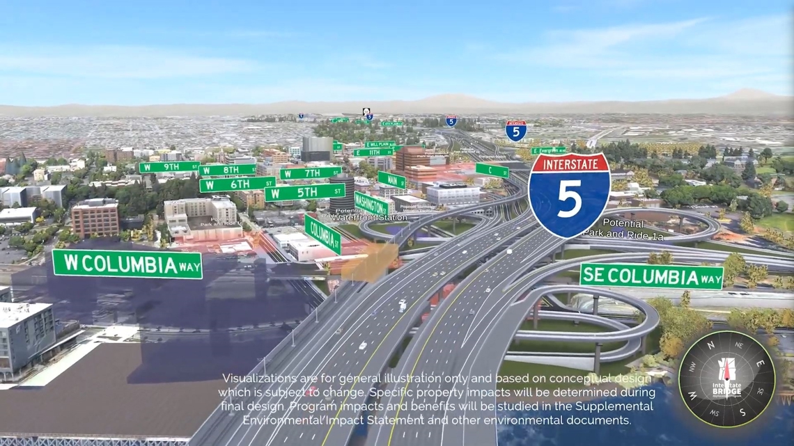
VANCOUVER, Wash. — A new set of videos from the Interstate Bridge Replacement project offer a more detailed look at how the proposed new Interstate 5 crossing would fit into the surrounding environment in and around Vancouver, following the path of the freeway on a virtual fly-through above a 3D model of the finished project.
The $6 billion (or more) megaproject would replace the main twin bridges over the Columbia River, extend the MAX Yellow Line to Vancouver, replace the North Portland Harbor Bridge that carries the freeway to Hayden Island from the Oregon side and replace or modify seven interchanges along the I-5 corridor to the north and south of the river.
Three of the videos start from the south end of the five mile project corridor and fly north toward Vancouver, while the other two start at the north end and fly south toward Portland. Also including one additional video that flies in a virtual circle around each of the I-5 interchanges that the project would alter or replace.
The videos are all broadly similar but depict different possible versions of the replacement twin bridges, because some of the project's high-level design choices are still undecided. Such as whether the bridges will be single- or double-decker structures, whether they'll carry a total of eight lanes of traffic or 10, and whether the project will maintain the existing offramps from I-5 to C Street in Vancouver.

The one version left out of all five videos is a drawbridge, which is still on the table as the project works its way through the federal environmental review process. Bridge lifts on the current crossing are a regular source of traffic backups, but the project team is still working to win approval from the U.S. Coast Guard to ditch the drawbridge for the replacement.
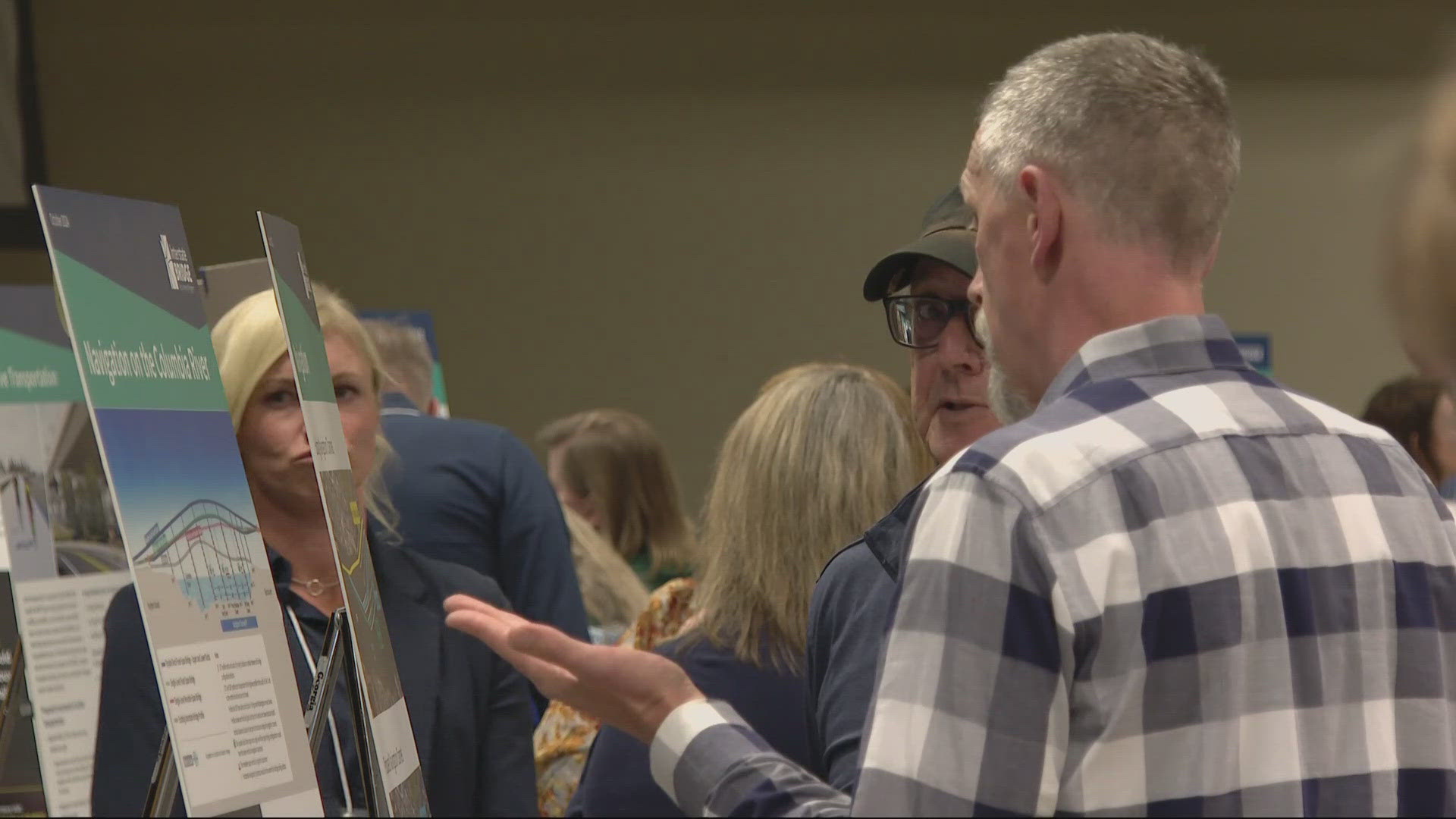
The videos were posted online Monday as part of the public comment period for the project's Draft Supplemental Environmental Impact Statement, which runs through Nov. 18. The feedback is part of the environmental review process and will be incorporated into a final version of the document next year.
The project is aiming to win federal approval and start some of the construction work in early 2026, although construction of the main bridges wouldn't begin until 2027. The bridges themselves are expected to take four to seven years to build, and construction of the overall project is expected to last anywhere from nine to 15 years.