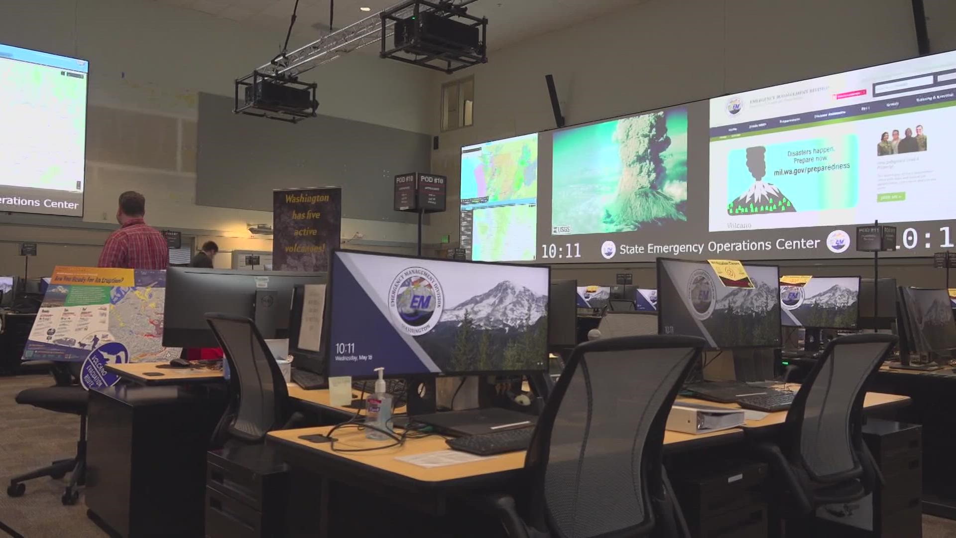
SKAMANIA COUNTY, Wash — Thursday marks 43 years since Mount St. Helens erupted in Washington state. The deadly eruption happened shortly after 8:30 a.m. on May 18, 1980, following months of small explosions and earthquakes.
The catastrophic blast devastated an area of around 230 square miles, causing more than $1 billion in damage.
Fifty-seven people were killed, making the eruption the deadliest in U.S. history.
The first sign of an eruption was recorded on March 20, 1980, when a magnitude 4.2 earthquake caused snow avalanches to occur on parts of the volcano, according to the U.S. Geological Survey (USGS).
Between March 20 and May 18, 1980, there were more than 2,800 earthquakes recorded at the volcano. A bulge began to develop on the volcano's left side.
A magnitude 5.1 earthquake rattled the mountain on May 18, causing the bulge to burst and landslide down the mountain. Once the bulge was gone, the volcano's magma system was depressurized and blew off the top of the mountain, according to the USGS.
Ash, rock and hot gasses spewed into the air. Ash blanketed the Pacific Northwest and stretched to 11 states and Canada.
The blast reduced the mountain's height by 1,314 feet. The USGS said it took just two weeks for the ash from the eruption to circle the globe.
Autopsies showed that most of the people killed in the eruption likely died from asphyxiation after inhaling hot ash, according to the USGS.
In addition to human lives lost, an estimated 7,000 big game animals – such as deer, elk and bears – were also killed. Birds and small mammals also died.
The eruption destroyed 158 miles of highway, 200 homes and 15 miles of railways, the USGS reported.
Washington state worked to remove about 900,000 tons of ash from highways and roads, according to the USGS. The International Trade Commission determined the total cost of damage and rebuilding efforts from the eruption came to an estimated $1.1 billion.
Seismic activity around Mount St. Helens quieted after the mid-80s. According to the USGS, the area experienced the fewest earthquakes since the eruption ended in the early 2000s.
On Sept. 23, 2004, earthquake frequency increased, and a new formation was reported on the southeast margin of the 1980-86 lavadome, according to USGS.
By Sept. 26, 2004, scientists warned of an increased chance of explosion from the dome.
Explosions began on Oct. 1, 2004, sending ash and gases into the air. In all, five explosions occurred through Oct. 5 of that year.
Two more "significant" explosions occurred in 2005, the last on March 8. Blocks of rock landed hundreds of yards away, along with dustings of ash that ended up in Ellensburg, Yakima and Toppenish more than 90 miles away.
The USGS’s Cascades Volcano Observatory was established in the wake of the 1980 Mount St. Helens explosion to track volcanic activity from Mount Baker near the Canadian border to Crater Lake in Oregon.
Five of the volcanoes it tracks are in Washington state. In a 2018 update to the National Volcano Threat Assessment, Mount St. Helens held the position as the second biggest threat in the U.S., following Mount Kilauea in Hawaii.
Mount St. Helens remains the most active volcano in the Cascade Range. Of the volcanoes in the contiguous U.S., it is the most likely to erupt in the future and even in "our lifetimes," according to USGS. However, neither a large avalanche nor lateral blast like those in 1980 is likely due to the deep crater.

