
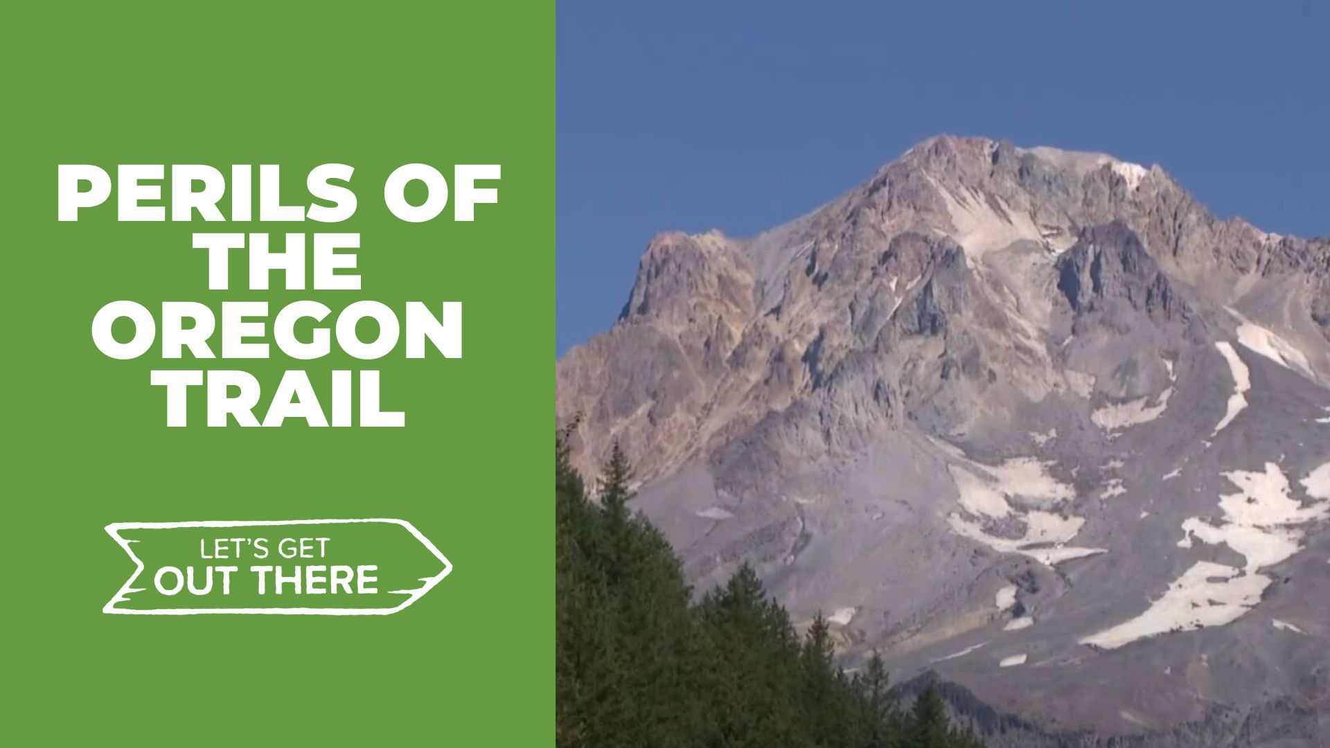
CLACKAMAS COUNTY, Ore. — On a clear day, the drive up to Mount Hood rarely disappoints. Before Highway 26, covered wagons made the trip over much more rugged terrain on the last overland section of the Oregon Trail.
“It’s very important for people to know about their past,” said Ken Funk of the Sandy Historical Society, “to help realize that this is the way it was.”
The Sandy Area Historical Museum and visitor center are housed in the same building. Preserved here are stories of everything from the area’s 100 years of logging history to the Barlow Road, on which the building sits.
“The Barlow Road,” said Funk. “That's our little section of the Oregon Trail.”
“Before this road was established, the only way through the Cascade Mountains for the wagons like that was to be sent down the river on a raft from The Dalles,” Funk continued.
Named for pioneer Sam Barlow, the road was a 100-mile detour around the popular route to The Dalles. The perils of the river were traded for those of the forest. Today, a hidden trail in the trees was unavoidable in the mid-1800s.
“I know that there's the parking lot up there, a little turn off, off the highway, and there is a path that goes down,” said Funk.
Wagon trains made it to the pass only to encounter the infamous Laurel Hill, a 60-degree down chute trail over rocks. There was no other option but to lower wagons down to Camp Creek below by either wrapping rope around tree trunks at the top of the chute, methodically lowering down everything they owned or dragging logs behind the wagons to slow the descent. Sometimes, wagons were lost, and on occasion, lives were, too.
While the Barlow Road is named for Sam Barlow, it’s important to acknowledge he followed old trails created by Indigenous peoples in the area. Native American artifacts of the time are on display at the Sandy Area Historical Museum, and the memories of the trail live on in the trees.
The Laurel Hill Chute Trail is a short half-mile loop. The trailhead is just two miles west of the Government Camp Loop on Highway 26. Look out for historical marker signs, and there is a very small parking area off the shoulder.
“Come out and take a look. It's here. It's not going anywhere,” said Funk. “I think you'll be all the richer for it just to come out and take a look.”