CASTLE ROCK, Wash. — In this week's Let's Get Out There, it's been 43 years since the 1980 eruption of Mount St. Helens. We look back at how the landscape changed back then, and how it continues to move today.
At the Mount St. Helens Visitor Center, Alysa Adams takes you on a journey through time with her ranger talk.
“Has anyone ever been to the 1970s before? Some of you may have been there before, I won't point at you,” she said to a group with a smile.
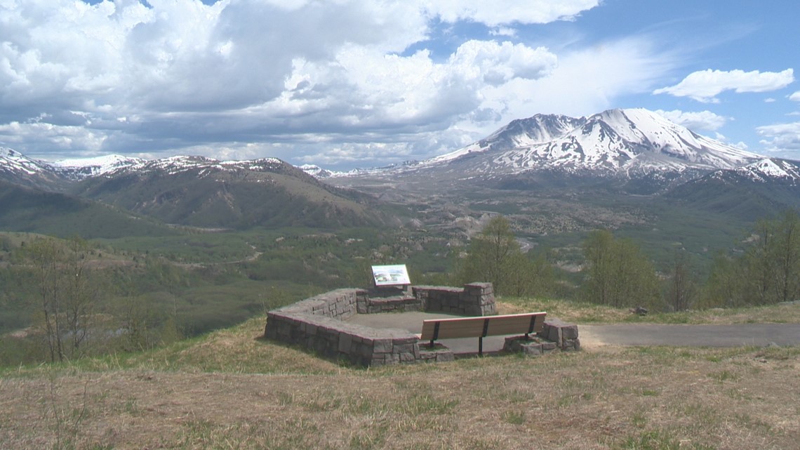
The group is seated with a clear view of Mount St. Helens. Just 30 miles as the crow flies to one of the most infamous volcanoes on the planet.
“I love interacting with the public,” Adams said. “I love making connections with them, reaching our next generation. Definitely something I enjoy is giving ranger programs and answering people's questions, making sure their visit is exactly what they want it to be.”
Adams is a parks interpretive specialist with Washington State Parks. The visitor center is situated five miles east of Interstate 5 on Silver Lake. Last Sunday’s landslide on SR 504 means tour groups and school field trips are diverting to the Mount St. Helens Visitor Center from planned trips to Johnston Ridge Observatory in the blast zone.


“The landscape is continuously changing, always transforming,” said Adams.
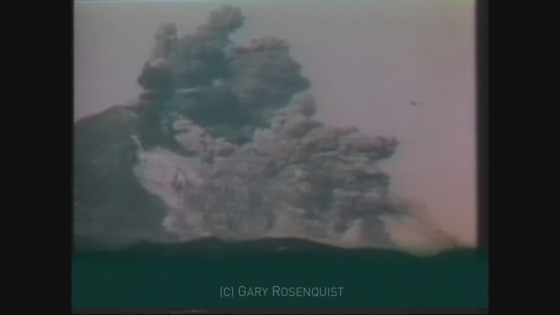
As if we needed any reminders 43 years after the May 1980 eruption. In March of that year, the volcano began showing signs of movement. Two months later, under heavy scientific scrutiny, Mount St. Helens erupted in a lateral blast, shooting rock and debris at speeds of 400 miles per hour and an ash plume more than 12 miles high. It killed 57 people.
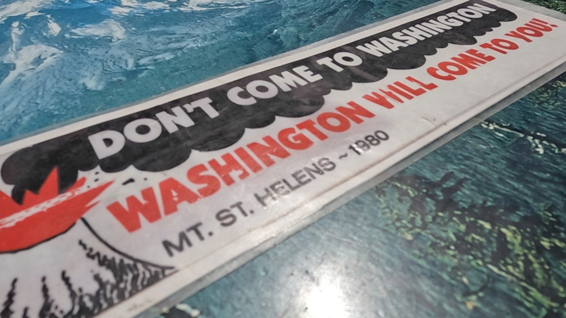
“Don't come to Washington. Washington will come to you,” Adams said in her presentation reading off a vintage bumper in her hands.


In a matter of weeks, the plume was carried by the jet stream and circled the globe, dumping ash across the Pacific Northwest.
Over four decades after the largest landslide in recorded history, new life and regrowth is evident everywhere you look. Two new lakes were created along with hundreds of ponds. You may not be able to get all the way to Johnston Ridge because of the road closure, but there are plenty of viewpoints to take in the moving sights of the mountain’s scarred northwest face.
“Once you hit the Hoffstadt Creek Bridge and you cross that, you're in the blast zone of Mount St. Helens,” said Adams.
“This is the most active volcano in the Cascade Range. The 1980 eruption wasn't the first and it won't be the last. It's gonna blow again. It's only a matter of time,” Adams said.
“Nature's got a plan and it's doing what it does best and that's always changing and going with the flow. So we're doing our best to deal with that and the results that has created, and we'll wait and see what happens next.”
—
Let's Get Out there airs once a week on KGW's 4 p.m. newscast and The Good Stuff, which airs Monday-Thursday at 7 p.m. We're including viewer photos for this series. You can text your photos to 503-226-5088 or post them on the KGW Facebook page.

