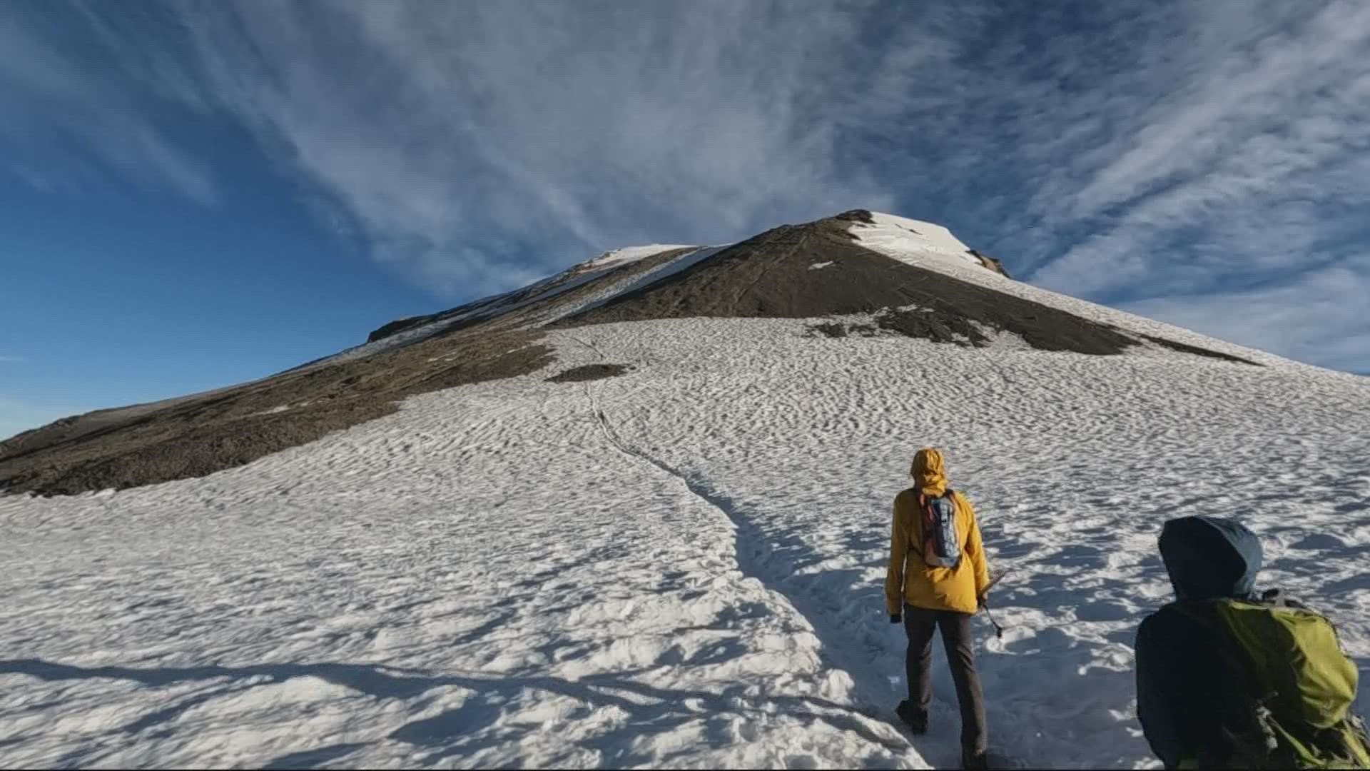
MOUNT ADAMS, Wash. — In this week's Let's Get Out There, we headed to the Mount Adams Wilderness where Jon Goodwin and a friend attempted to summit Mount Adams, getting an up-close look at a place many of us only see from a distance.
At over 12,200 feet, monstrous Mount Adams is Washington’s second-highest peak, looking up only to Mount Rainier (14,411 feet). Native American tribes call it Pahto or Klickitat.
My buddy Eric and I had talked about a summit attempt after my first trip up Mount St. Helens in July 2020. By many accounts, the climb up Pahto is not a particularly technical one, but preparation is still extremely important. We rented ice axes, boots, crampons and helmets from The Mountain Shop in Portland.

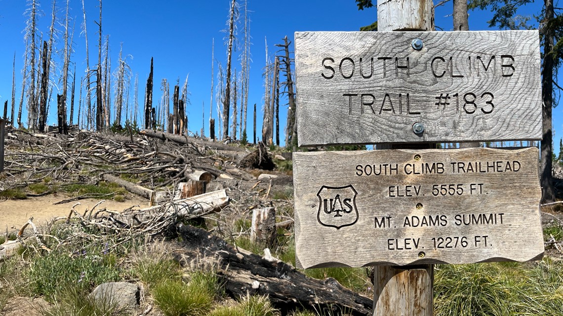
We arrived at the Cold Springs Campground on a Saturday afternoon with a goal of reaching the mountaintop early Sunday morning. It’s a slow, bumpy car ride for the last few miles on unpaved roads, so take it slow. The campground is also the trailhead for the South Climb Trail, widely considered the easiest route.

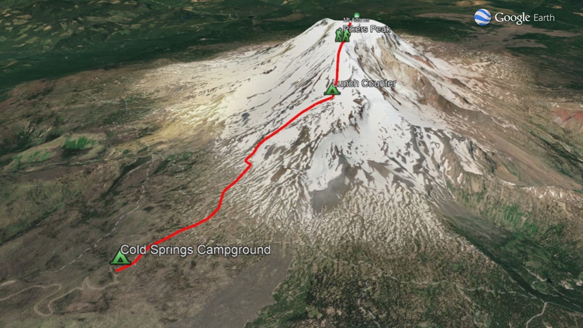
The plan was to hike to an area called Lunch Counter at about 9,350 feet. We were disappointed to find that indeed its name comes from the relative flatness, not because there’s a diner. We would then get an early start in the morning to climb to the false summit, Pikers Peak, and shortly after, the summit. From our starting point, it was about a four-mile trip up to where we would set up camp for the night. With heavy packs and motivation, we slowly made our way up.
RELATED: Climbing to the summit of Mount Hood
About two miles into the trail, there’s running water flowing off Mount Adams’ glaciers called Morrison Creek. If you’ve never dunked your hat or a bandana into a cold stream on a hot day to cool off, I highly recommend it.

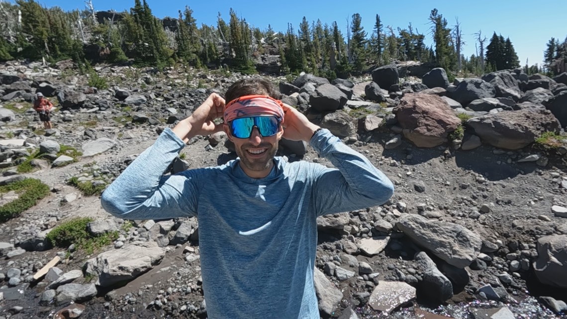
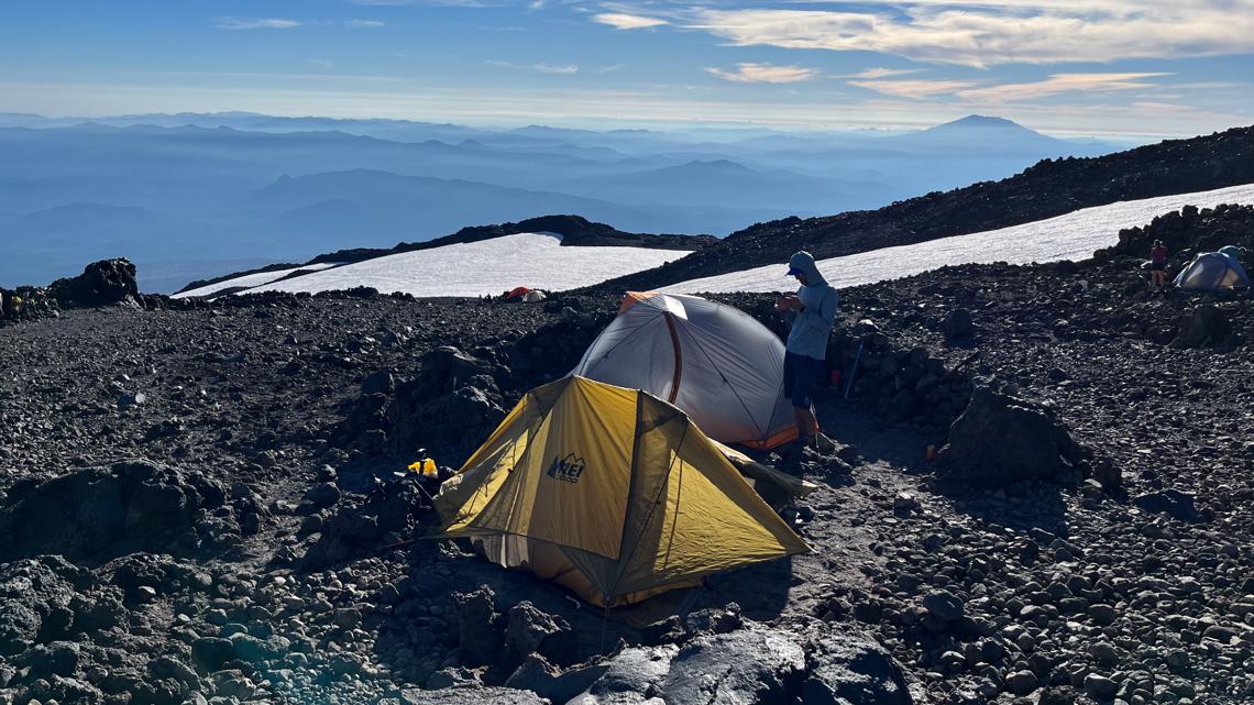
Past the creek, the trail really begins to rise — up and over volcanic rocks to a snowfield atop the Crescent Glacier. There were other campers set up along the way, but we had a little bit further to go before we set up shop for the night. About four hours from the car, we made it to Lunch Counter with plenty of daylight to spare.

Clear skies and no wind made for amazing conditions as we soaked in the rest of the afternoon, staring up at intimidating Pikers Peak. Nearby running water allowed us to refill our water reservoirs placed in our packs. Make sure you have a filtration system, tablets or some other means to make sure the water you collect safe to drink.

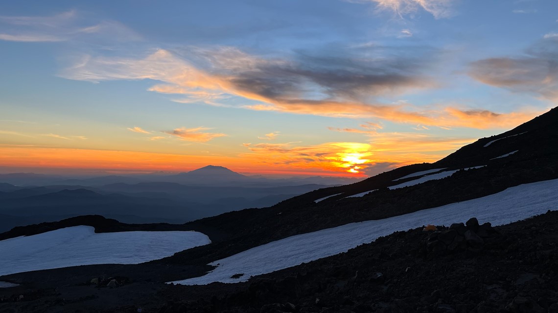
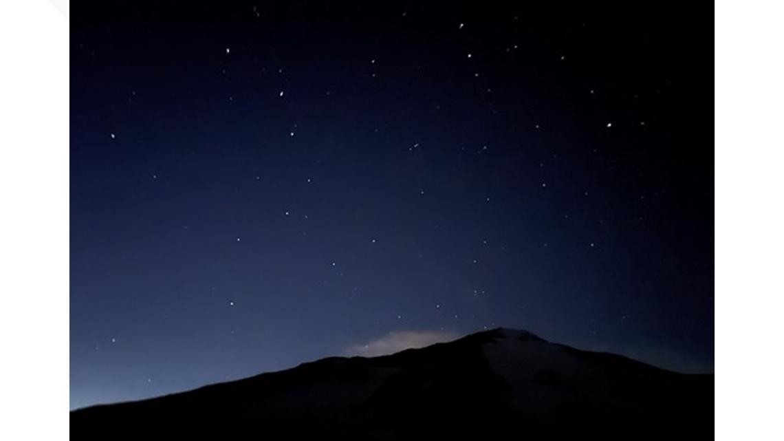
As the sun went down, we were treated to amazing colors on the horizon beyond the silhouette of Mount St. Helens and stunning alpenglow off of Mount Hood to the south. Finally, darkness fell and from our camp it seemed like you could see every star in the sky. Without any light pollution, you can barely make out the Milky Way with the naked eye.

At this point, it got pretty chilly and the calm winds began to pick up. Trying to sleep in a tent whipping in the wind was futile, and Eric and I each got an hour of sleep max. Perhaps it could have been the adrenaline too, knowing we were about to take on Pikers Peak in the dark. Around 2 a.m., we grabbed smaller, more compact backpacks, fastened our crampons to our boots and up we went with headlamps lighting the way. It was only about a mile to the top of the false summit, but the 2,300 feet of elevation gain punished our legs and our psyche.
I took plenty of breaks to catch my breath, turning around to take in the moonlit view. The glow far below us of other climbers’ headlamps showed us how far we had come. The downside was that in the darkness, we couldn’t tell how far we had left to go.

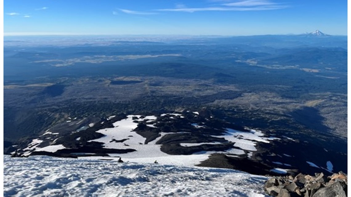
Two hours after leaving Lunch Counter, we crested Pikers Peak and I sat in the snow for a good 10 minutes in howling wind. The first glimpse of daylight began to peek out to the east and we knew we didn’t have much further to go.
With a sunrise summit being the goal, we made it just after. Still, spectacular views and our first look at majestic Mount Rainier greeted us as we crested the summit. The cold wind was too much to ignore, but we stood and took it all in for about 20 minutes before descending back to Lunch Counter, packing up camp and lugging all our gear back to the car.

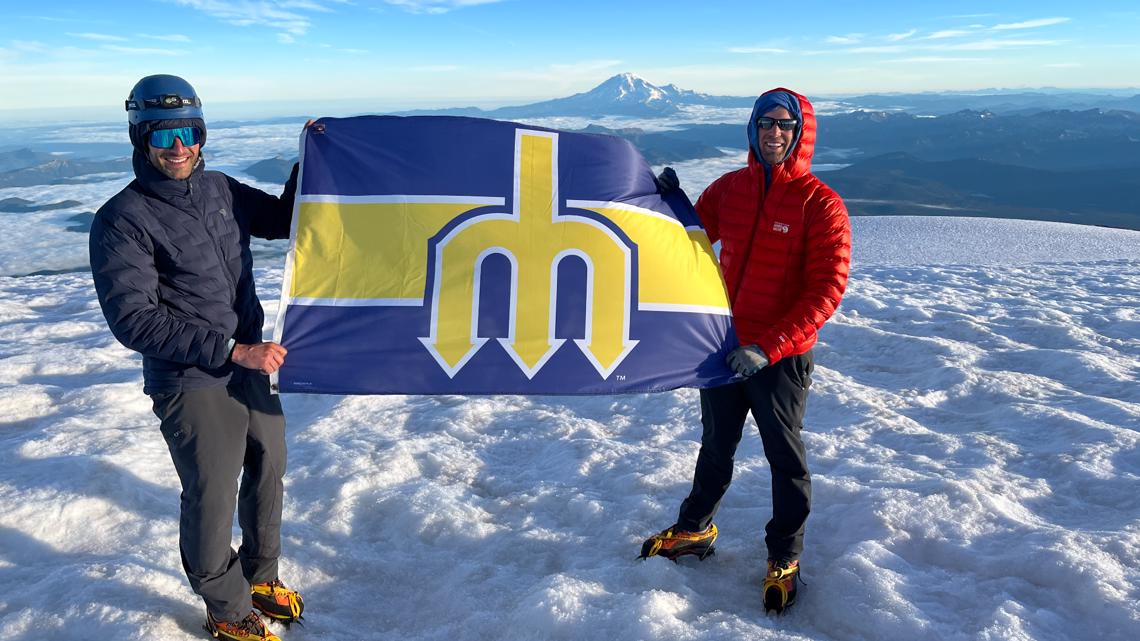
In all, it was a 26-hour, 13-mile round trip with 6,800 feet of vertical gain. Maybe you’ve climbed Mount Adams countless times, or maybe you never will, but I hope you’ll find a way to get out there and take in the outdoors — and I hope you enjoyed coming along with us to get a closer look at Washington’s second-tallest peak.
Let's Get Out there airs once a week on KGW's 4 p.m. newscast and The Good Stuff, which airs Monday-Thursday at 7 p.m. We're including viewer photos for this series. You can text your photos to 503-226-5088 or post them on the KGW Facebook page.

