A wildfire that ignited at one of Oregon’s most beloved hot springs is now expected to be a long-term event that will impact outdoor recreation into the fall.
The Terwilliger Fire, burning east of Eugene around Cougar Reservoir, has continued to grow and reached almost 3,800 acres Friday morning.
The fire is burning on both sides of the reservoir, which impounds the South Fork McKenzie River south of Blue River.
It’s only 1 percent contained and given the steep and rugged terrain — and the fact that its spreading into the Three Sisters Wilderness — officials expect the fire to remain active in the foreseeable future.
“We’re projecting the fire to grow in a couple different directions, and in a lot of places, there’s not much out there to stop it,” fire spokesman Nick Mickel said. “There’s plenty of dry fuel in the lower drainages, but it has also spread high enough on the ridgetops that it’s getting pushed by the west winds.”
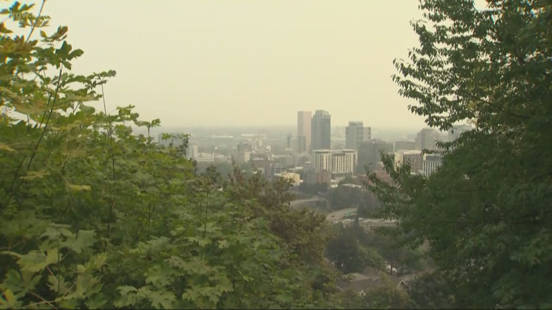
The fire is expected to show significant growth today, with the smoke inversion giving way to blue skies likely to fuel the flames, Mickel said.
“It’s going to be a challenging day, because we’re going to have the sun on the fire most of the day,” he said. There are 266 firefighters working the blaze.
Officials have closed 26 campgrounds, hiking trails and recreation areas, including Terwilliger Hot Springs, where the fire started and nearly trapped 20 people last Sunday.
The fire roared through the popular hot springs, but fire officials said they couldn’t comment on how badly the area was damaged until a more detailed assessment was possible.
Officials are still investigating the cause of the fire. They likely won't make a determination until the fire is more contained.
In terms of tactics, fire teams will focus on stopping the fire’s spread west into private timberlands and north toward the Oregon Highway 126 corridor, Mickel said.
The fire remains about five miles from the town of Blue River and isn’t threatening any residences currently, although it is threatening campgrounds and recreation areas around the reservoir.
In the meantime, the fire will likely spread deeper into the Three Sisters Wilderness.
“There’s really no location out there in the wilderness that would stop that fire,” Mickel said. “We’re hoping it burns south into the scar of the 2017 Rebel Fire.”
Terwilliger Fire Map on Friday by Statesman Journal on Scribd
(See closure map and list of campground and trail closures below)
Terwilliger Fire closures
Here's a roundup of what's closed by the Terwilliger Fire. It's almost entirely south of Highway 126 and around Cougar Reservoir.
Aufderheide Scenic Byway: From Highway 126, the closure begins where Forest Service Road 19 intersects with Forest Service Road 1900-408 and continues south to Rebel Trailhead.
Closed Campgrounds: Hard Rock Campground, French Pete Campground, Cougar Crossing Campground, Sunnyside Campground, Slide Creek Campground
Closed Recreation Sites: Indian Ridge Lookout, Terwilliger Hot Springs, Echo Day Use and Boat Launch
Closed Trails: French Pete Trail #3311, Bear Flat Trail #3301, Quaking Aspen Trail #3332, Lowder Mountain Trail #3329, Olallie Mountain Trail #4100, Walker Creek Trail #3330, East Fork Trail #3308, Indian Ridge Trail #3315, Rider Creek Trail #3319, French Pete Trailhead, Upper Lowder Mountain Trailhead, Upper East Fork Trailhead, Lower East Fork/Lower Echo Trailhead, Echo Trailhead, O'Leary / Castle Rock Trailhead, Lowder Mountain Trailhead, Indian Ridge North (Upper) Trailhead, Indian Ridge South (Lower) Trailhead.
Terwilliger Fire closure map by Statesman Journal on Scribd

